Hiking across
the Graian Alps
August 2024 · From the elderly village of l’Ecot, in the very end of the Haute Maurienne valley, to the vast pass of Mont Cenis, on the Italian side.
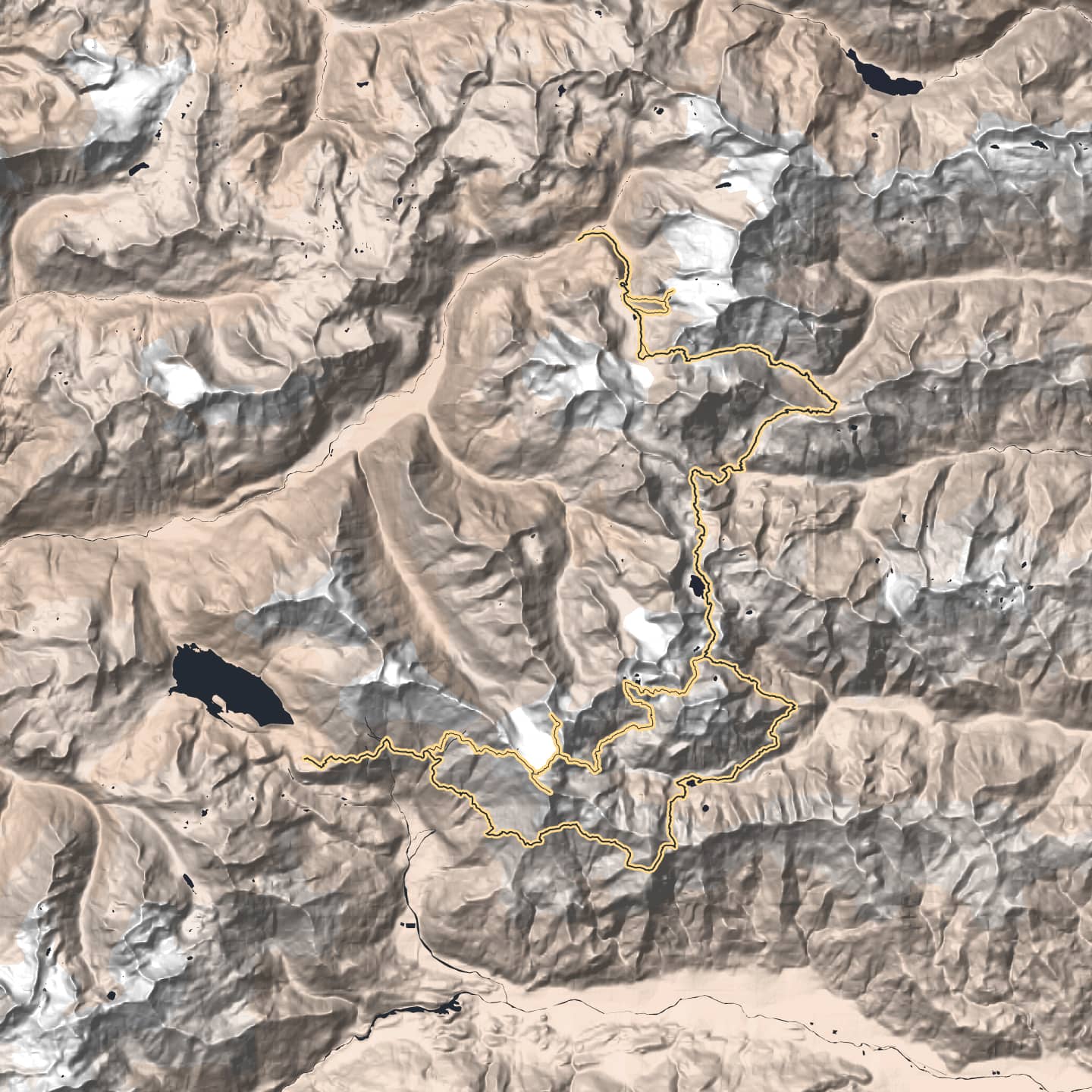
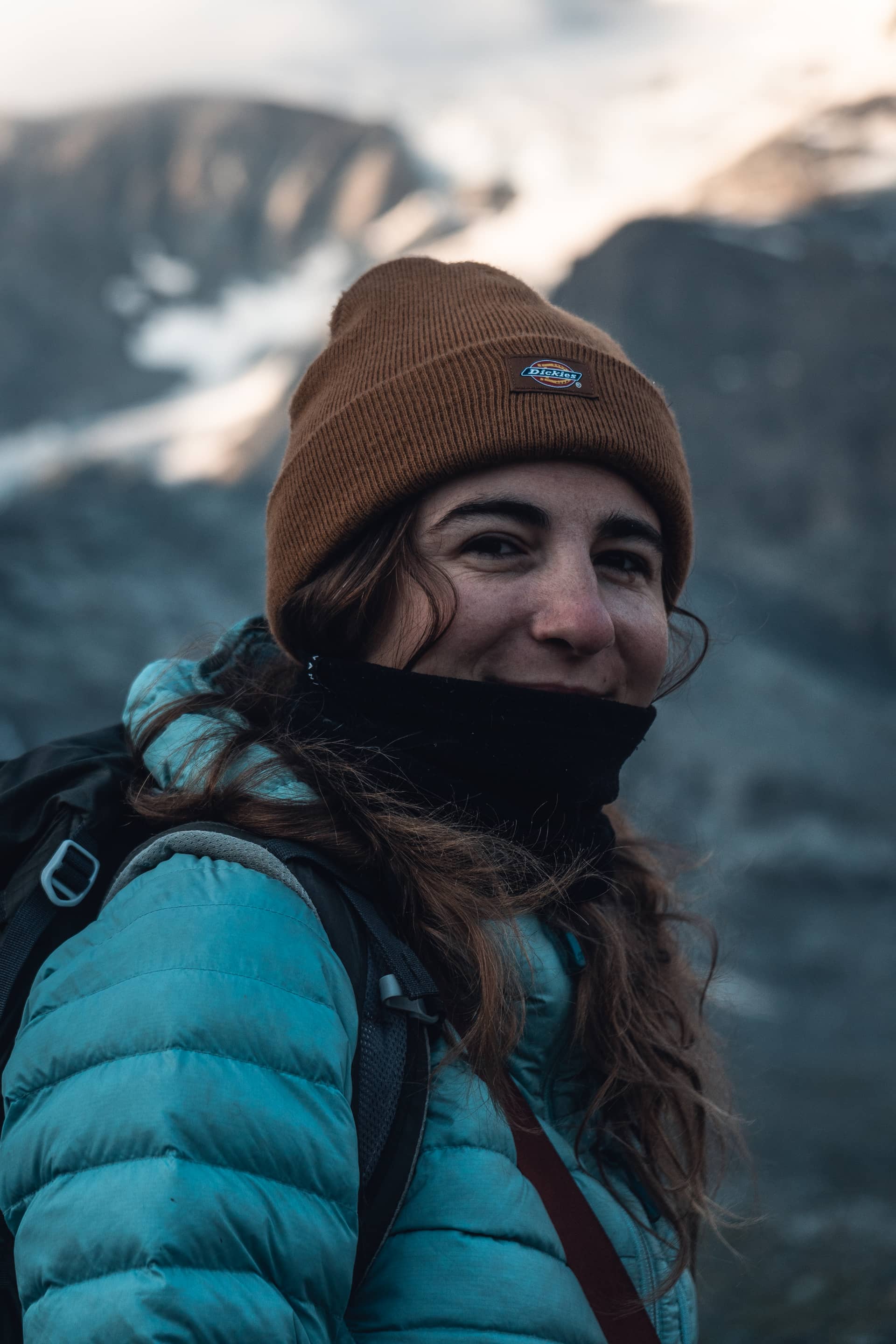
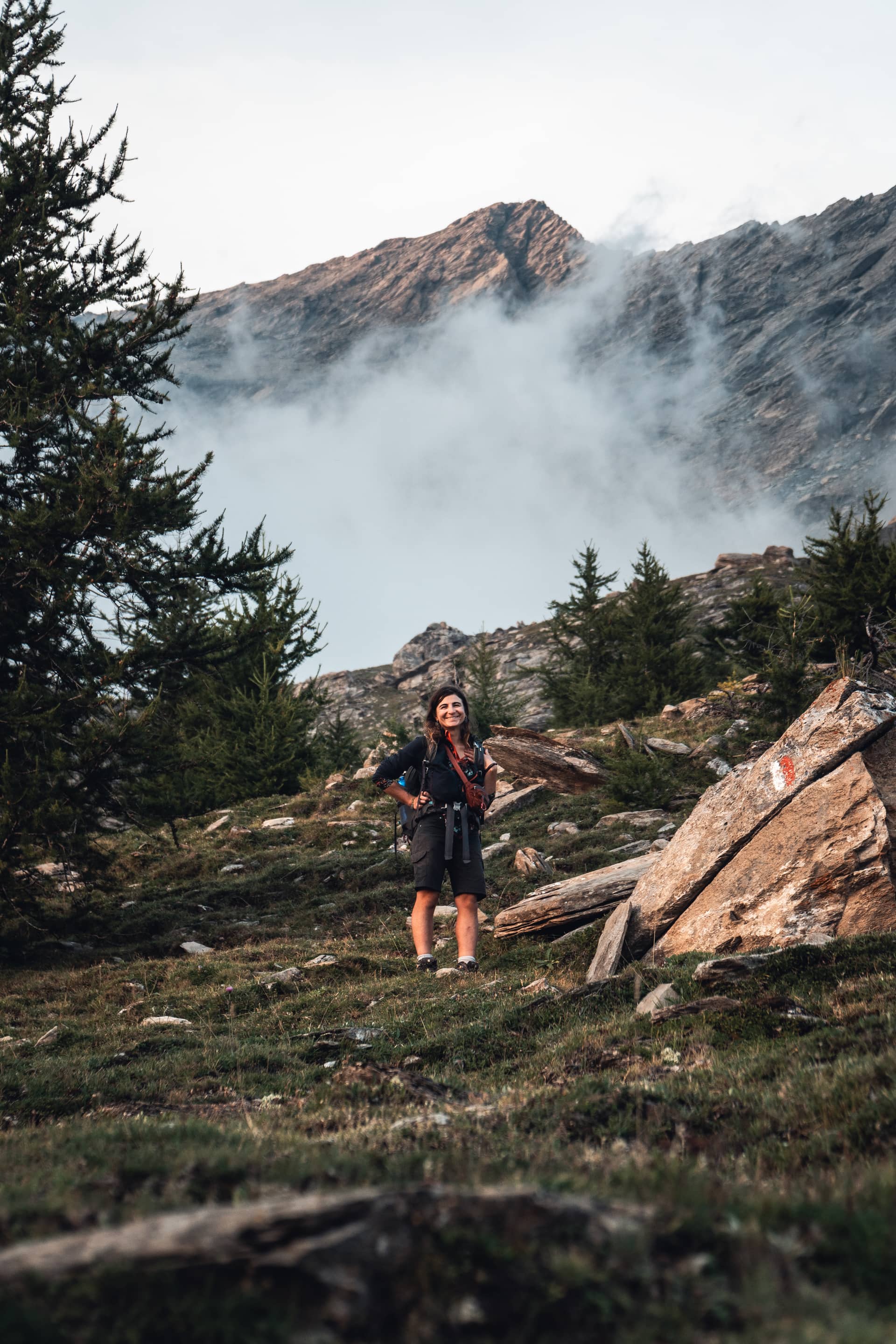
To draw this route, I strived to follow the Alps divide, which is more or less the border as well. Often in the in between, I spent time to explore unmapped tracks I had assumptions about thanks to cartographic resources. Once there, most of them were well marked out. However, a few parts were very faded, abandoned or even forbidden. Made for hiking purposes, some passages were quite exposed and required little climbing skills and a solid sense of direction. I progressed southbound, though the route is doable on both directions. Note that the thiner route on the map was the one I first planed.
-
Duration
4 days
-
Distance
70 km
-
Elevation
4850 m
-
Altitude
1740 · 3170 m
-
Surface
98% unpaved
-
Waytype
18% offtrack
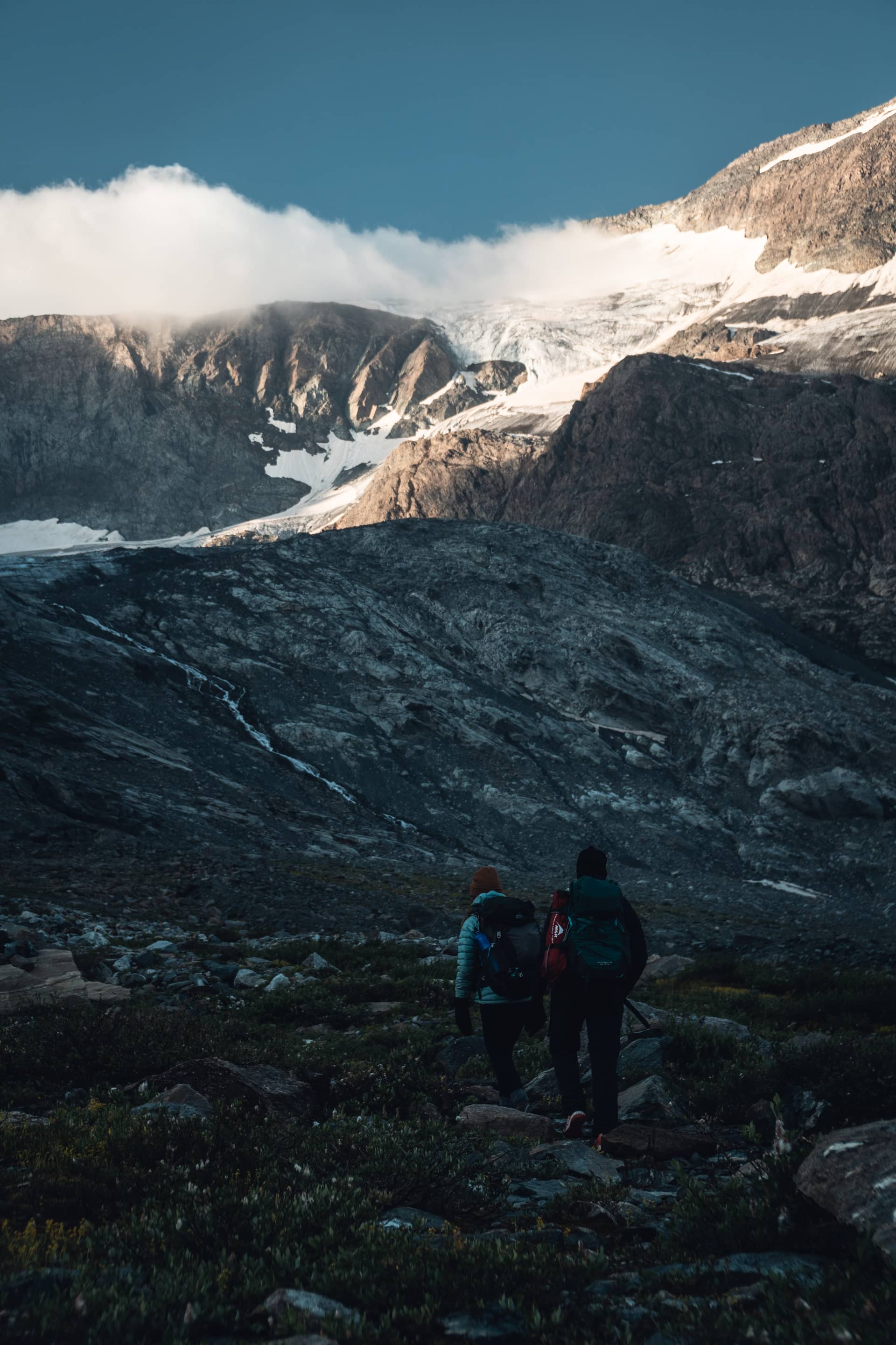
To achieve this route as fast and as light as I could in a self sufficient way, I had neither spare clothes nor spare food. However, I brought warm and waterproof clothing and sleeping gear to handle demanding terrain and an ever changing weather. Even in the driest season, water was everywhere enough to carry two liters only. At the lowest places, I filtered it. There are about two refuges a day and a few cabins along the route, but I only relied on the village of Bonneval sur Arc to restock, which was a little detour doable by hitchiking. Besides, I had a minimal cooking system in order to carry lighter food.
-
Gear weight
8940 gr
-
Backpack weight
7360 gr
-
Water capacity
2 liters
-
Food
4 days
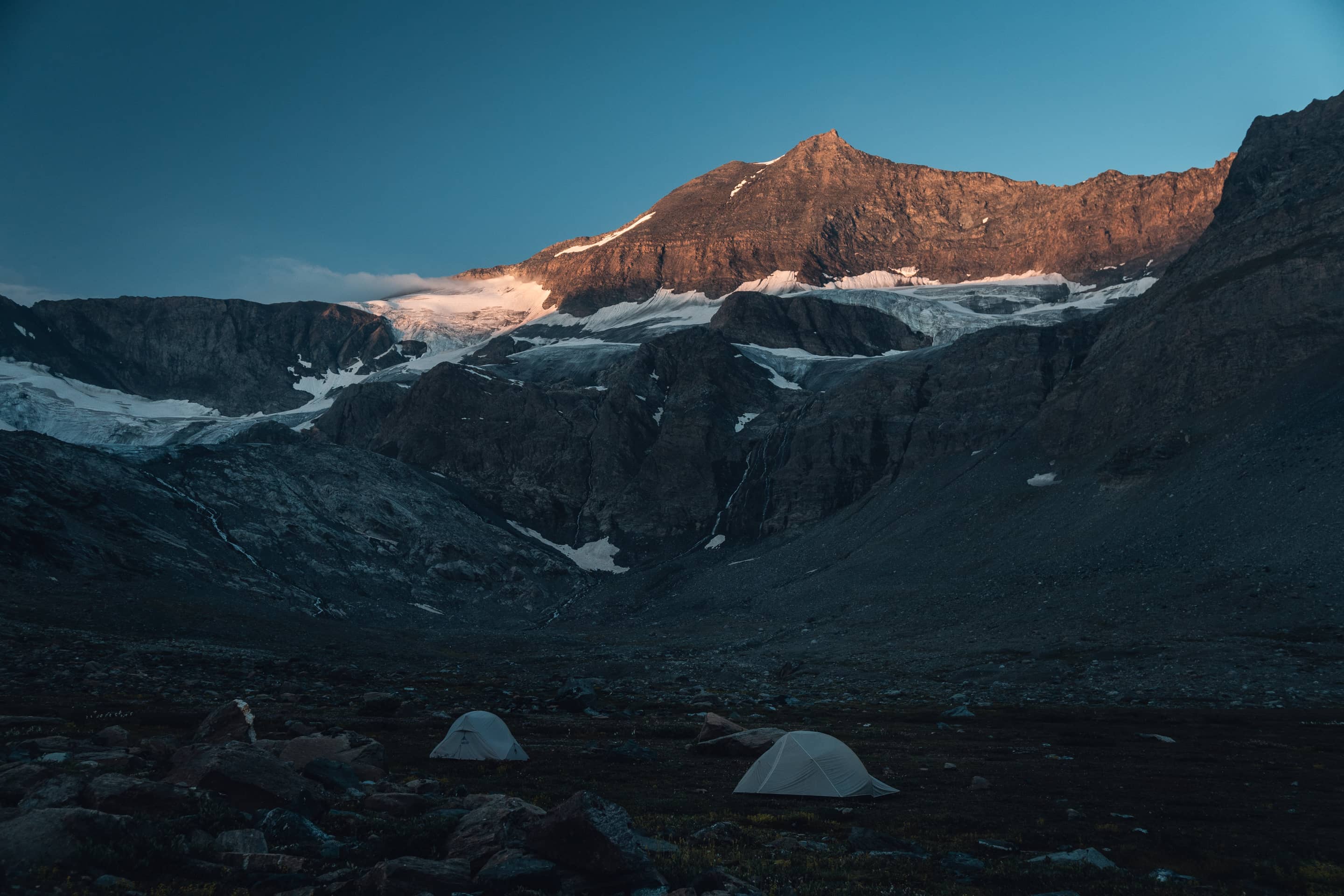
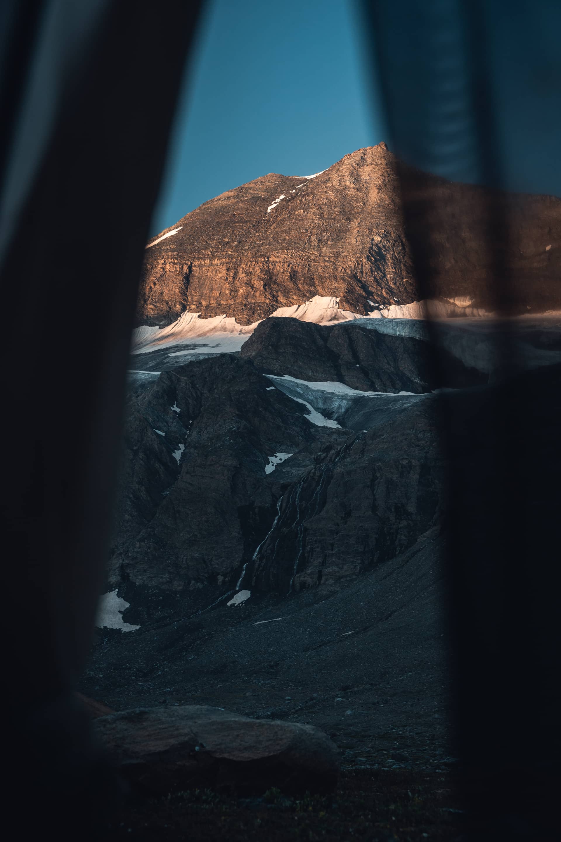
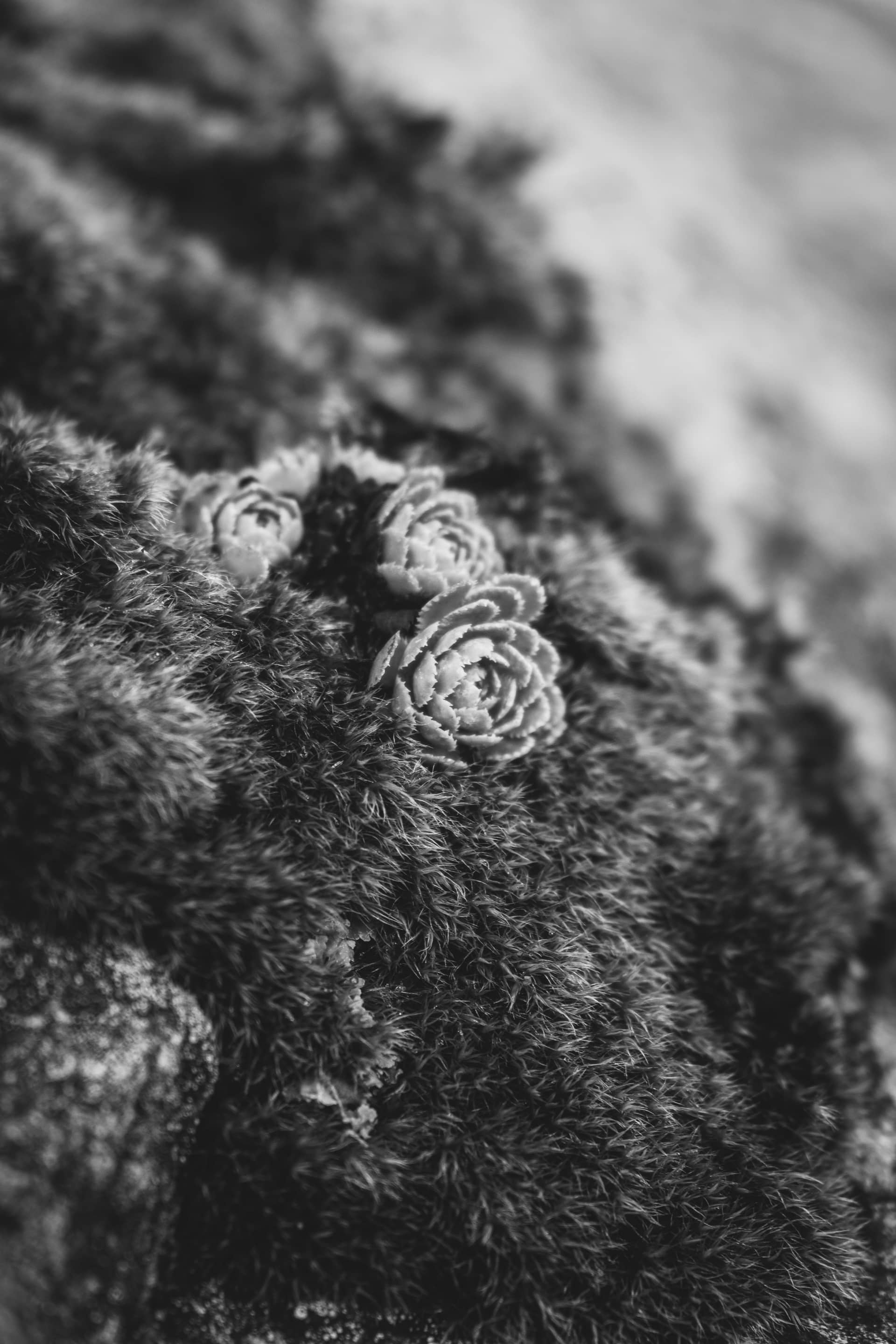
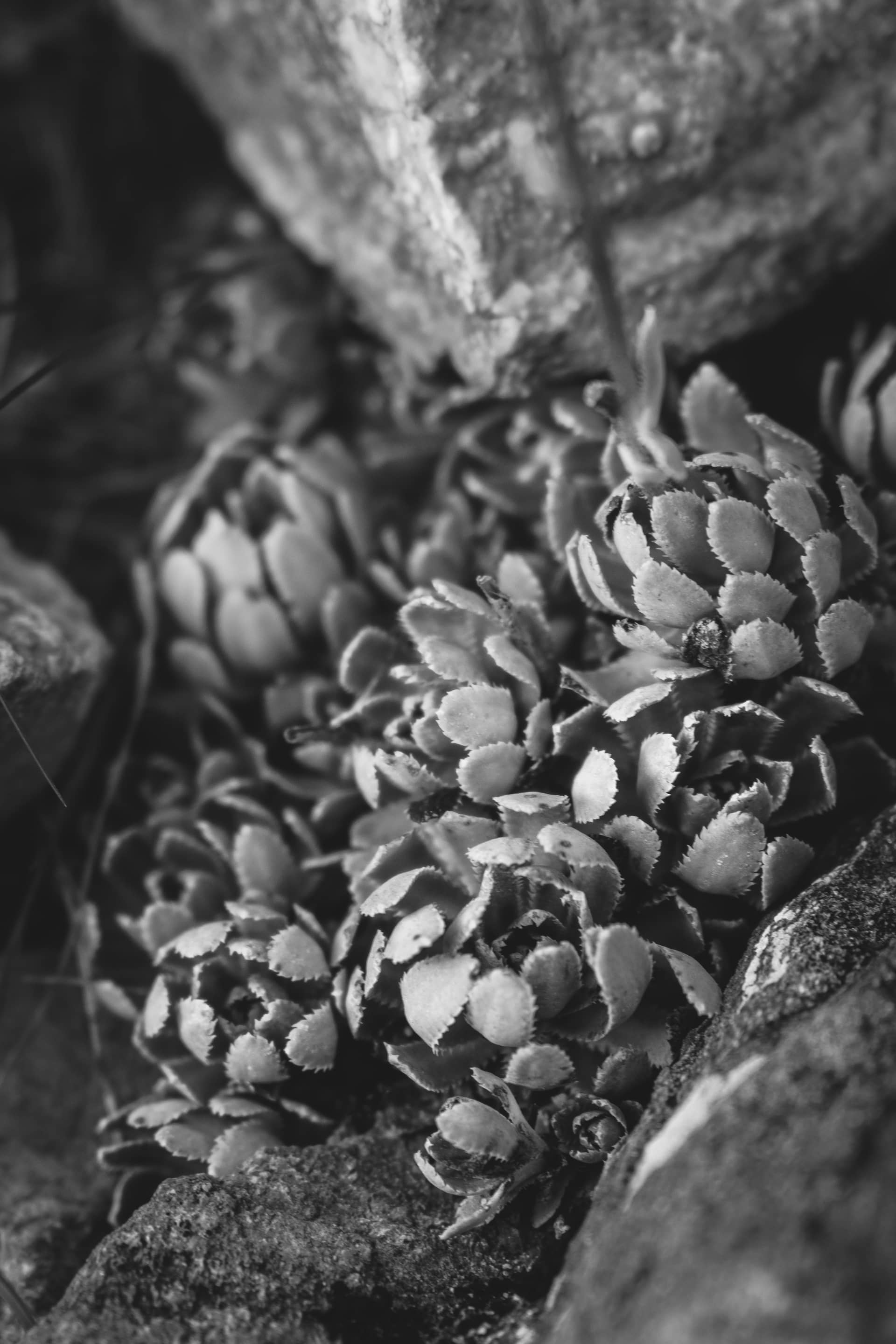
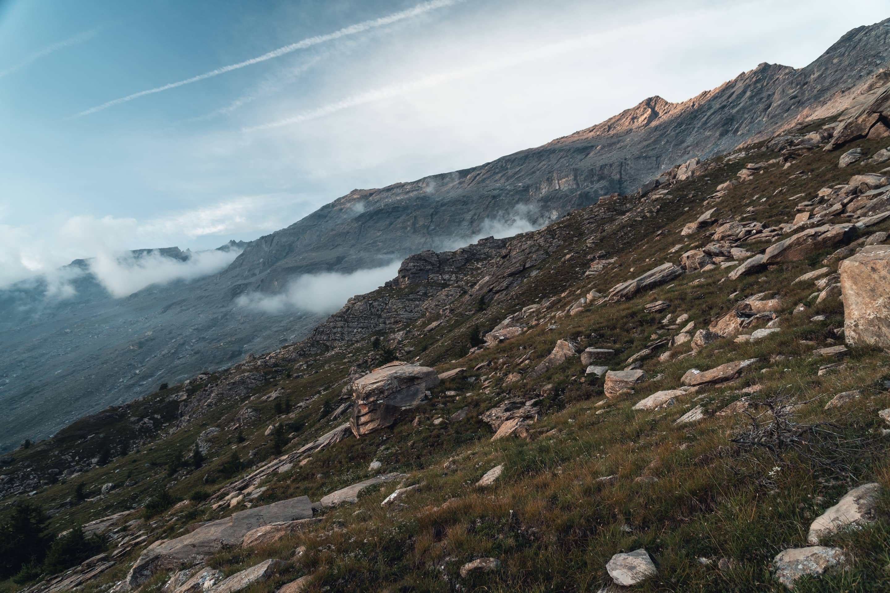
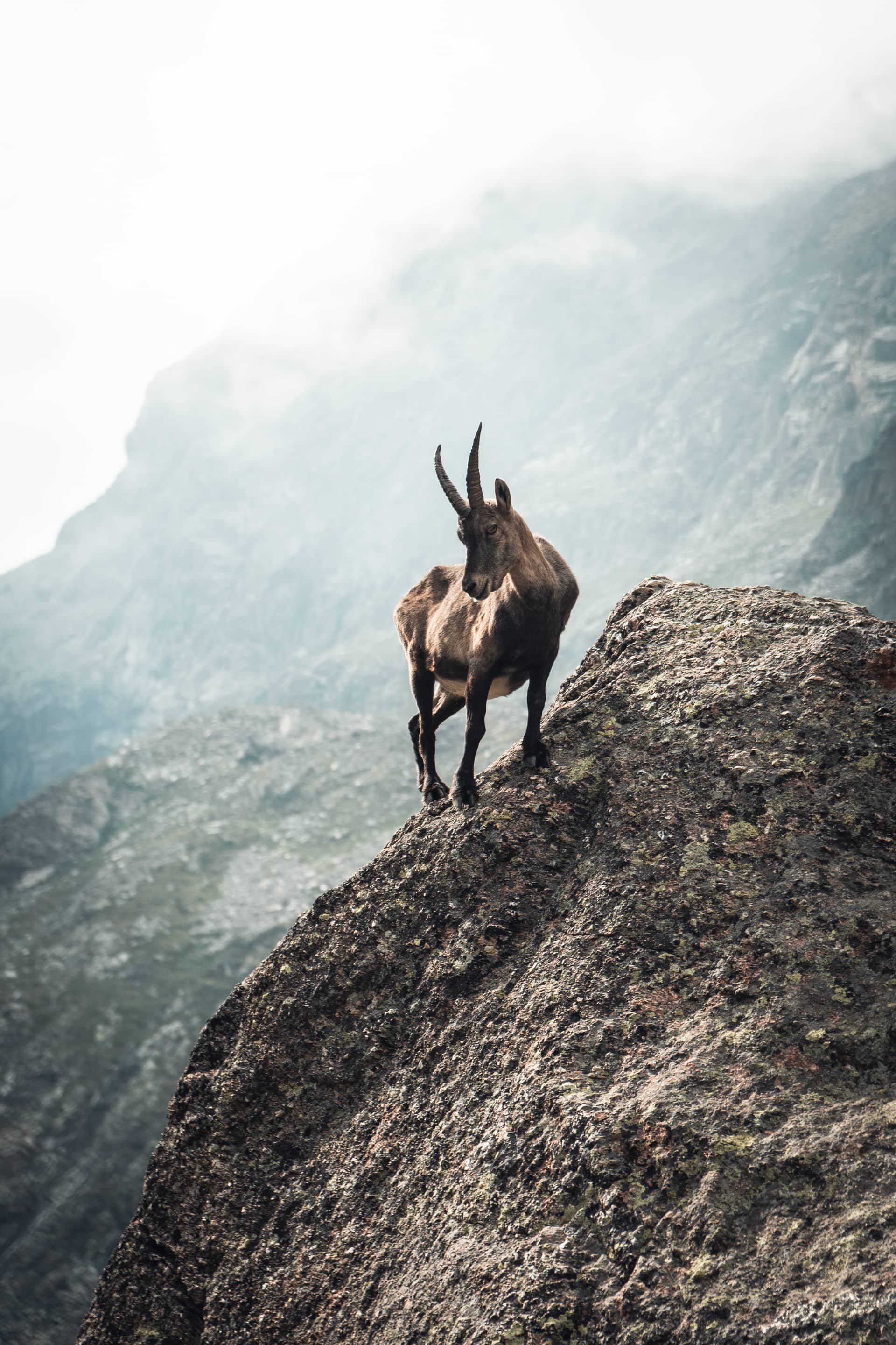
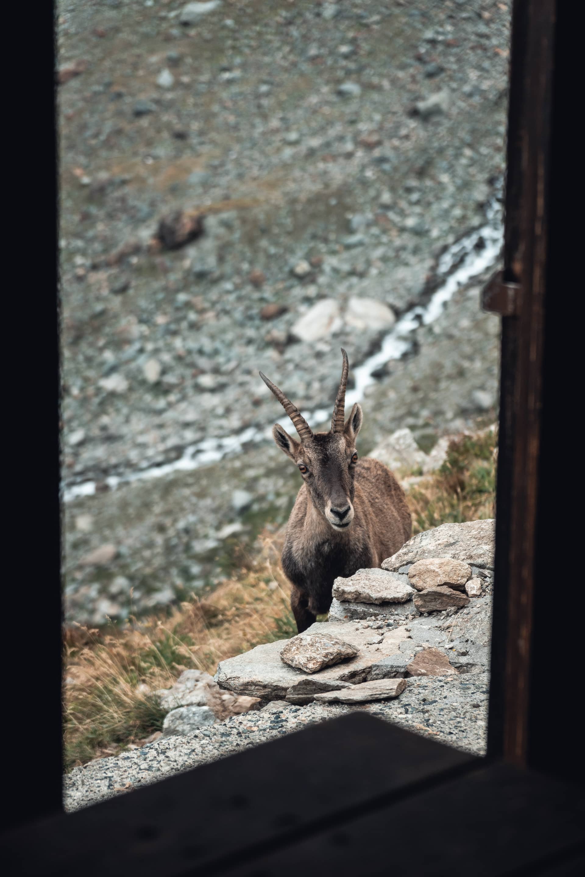
This route took place in an alpine environment which was often hostile and very mineral. Clouds were obstructive, wind was strong, rain fell often and temperatures dropped down below zero at night. I crossed several sketchy snow areas and raging torrents, nothing that required any equipment though. In fact, most of the glaciers were bare, which was heart breaking to stare at. Wild camping wasn’t forbidden anywhere but within the Vanoise and the Gran Paradiso national parks. I didn’t care as I hid myself and left no trace. Late summer was the best and only season to cross the highest passes.
-
Location
France
Italy -
Legislation
Vanoise national park
Gran Paradiso national park -
Season
Late summer
0 km
2030 m
Torrent of the Arc
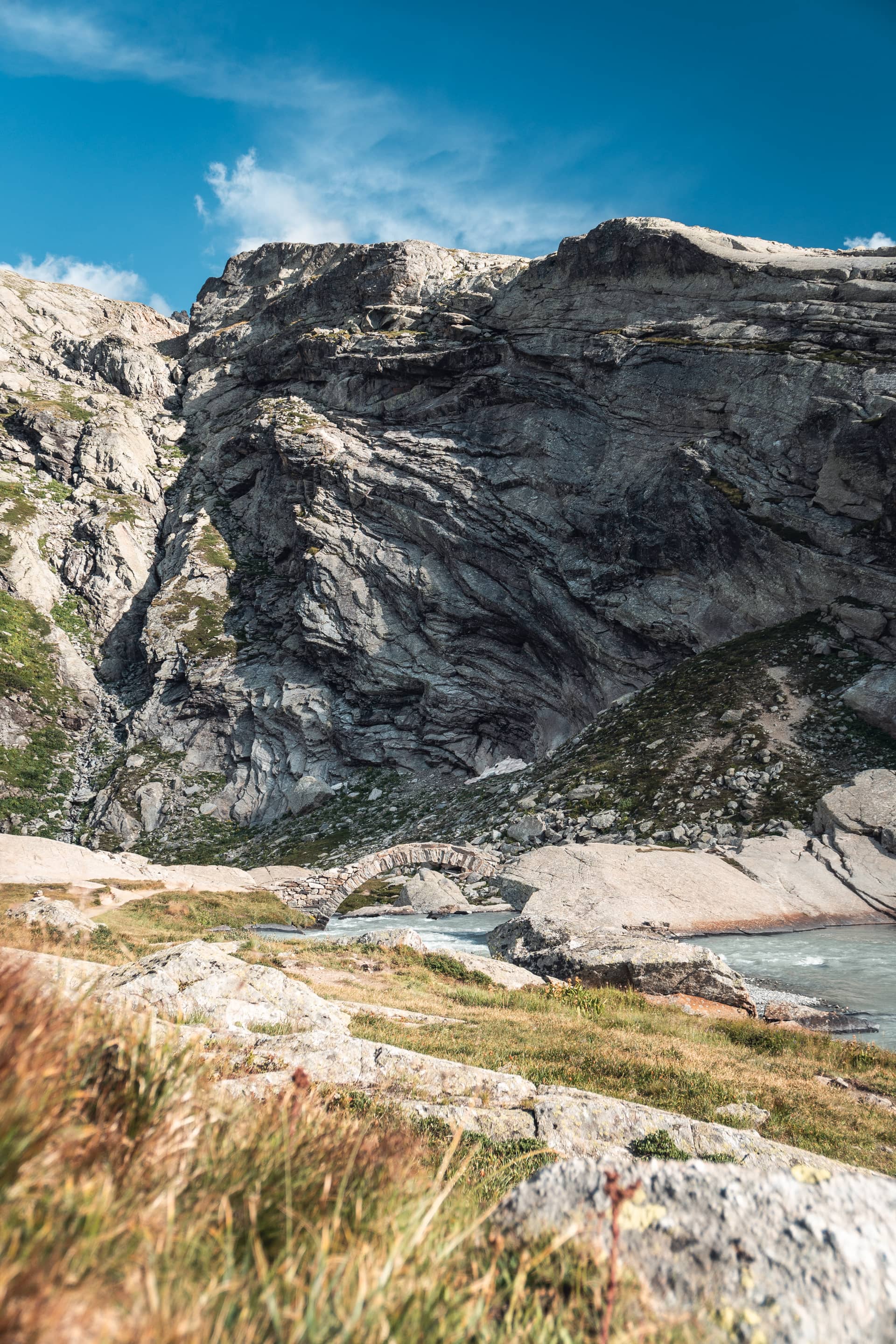
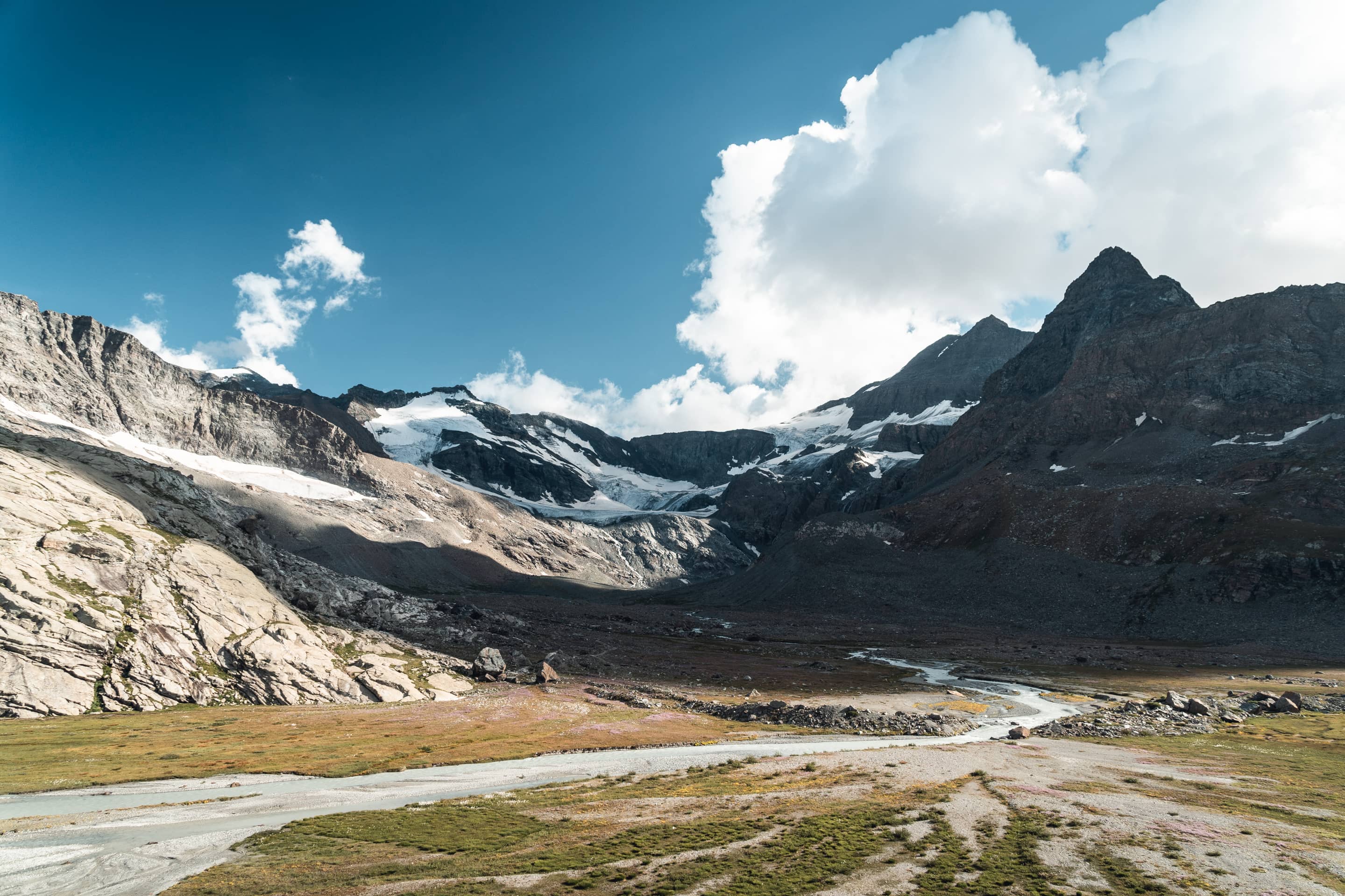
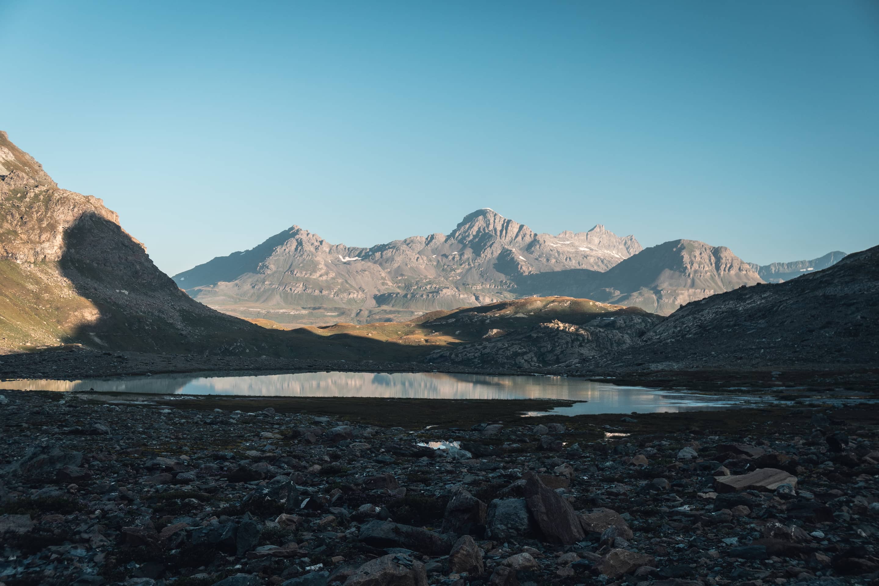
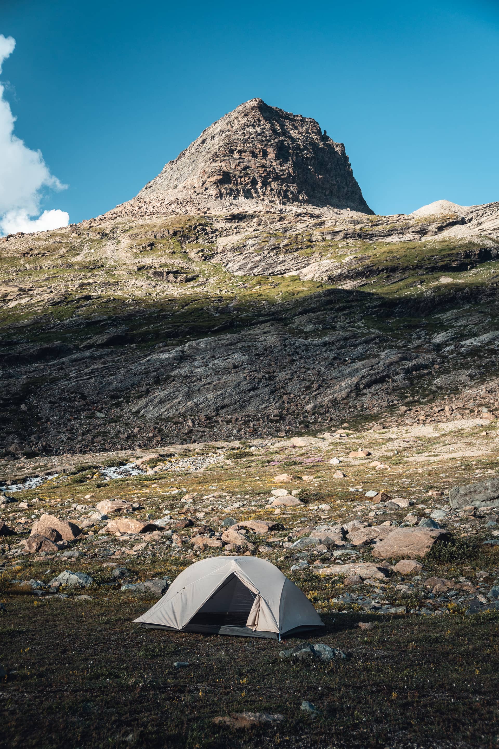
Figure 1 · Stone bridge over the torrent of the Reculaz
Figure 2 · Corrie of the Evettes
Figure 3 · Lake of the Evettes beneath the Vanoise massif
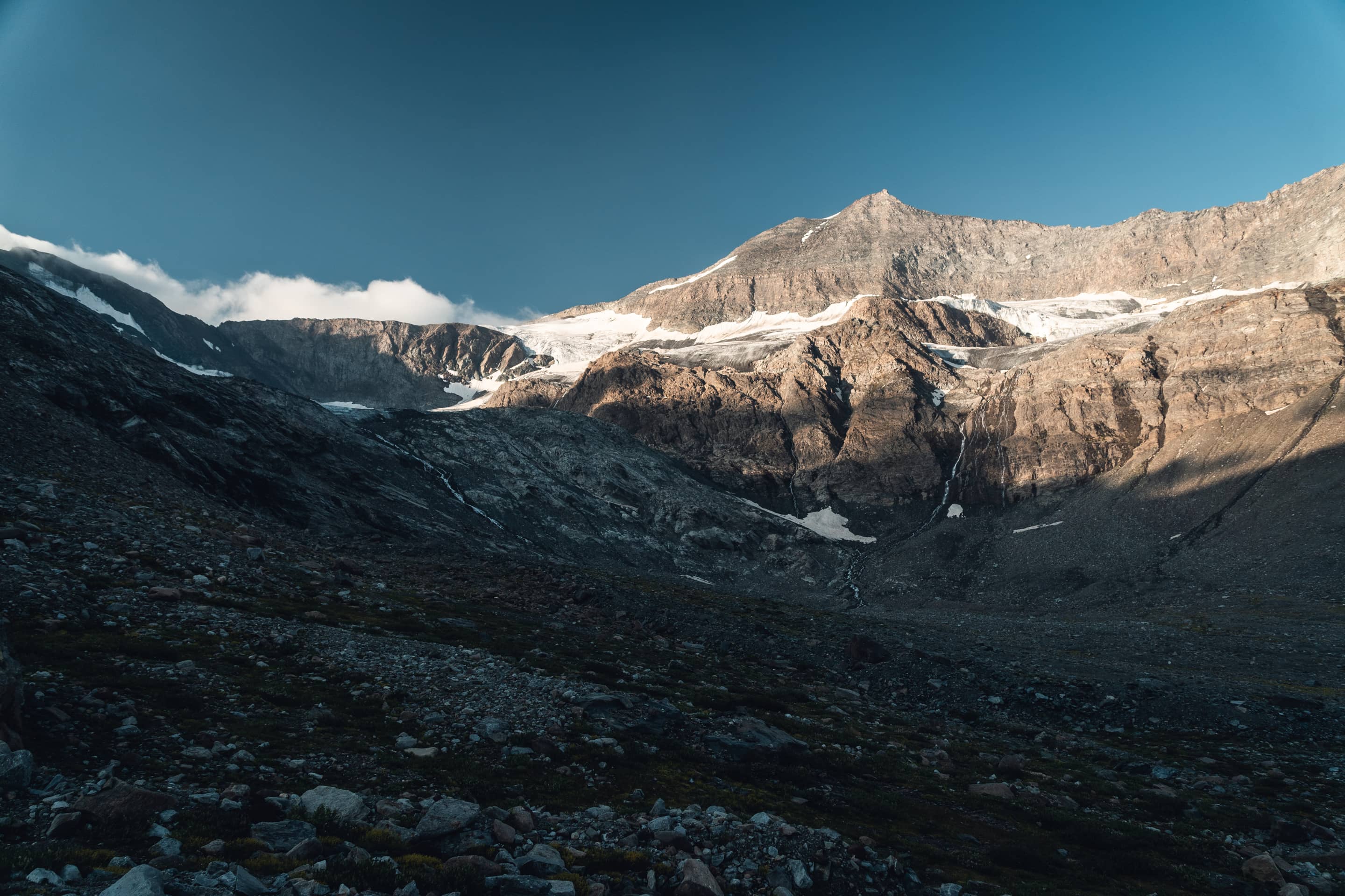
Figure 4 · Mount Séti, 3150 m
7 km
3170 m
Pass of Bonneval
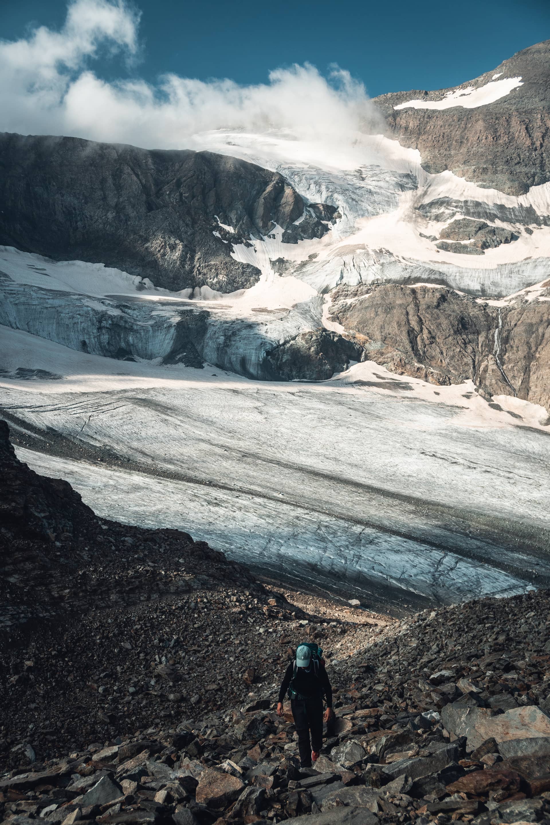
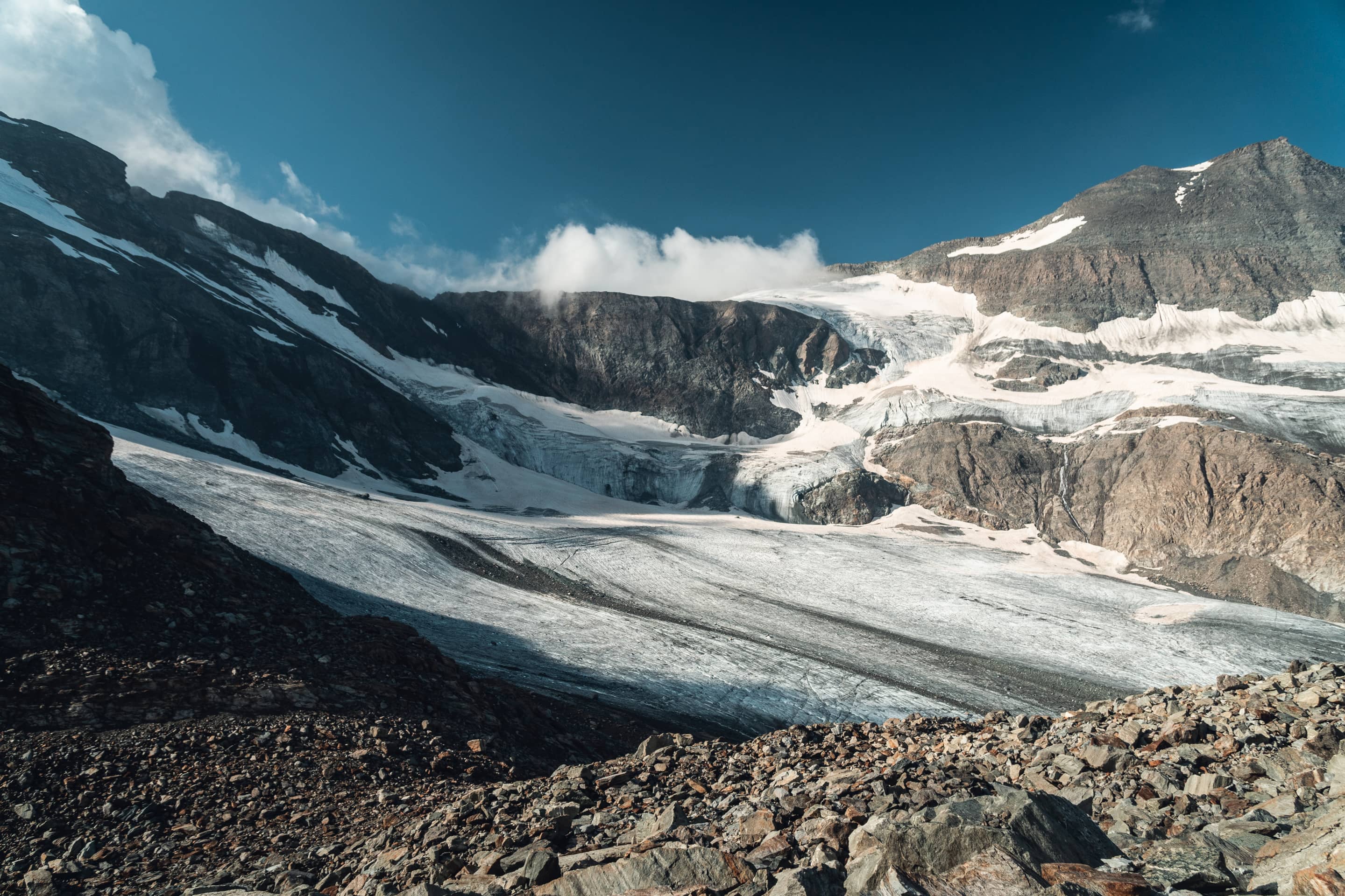
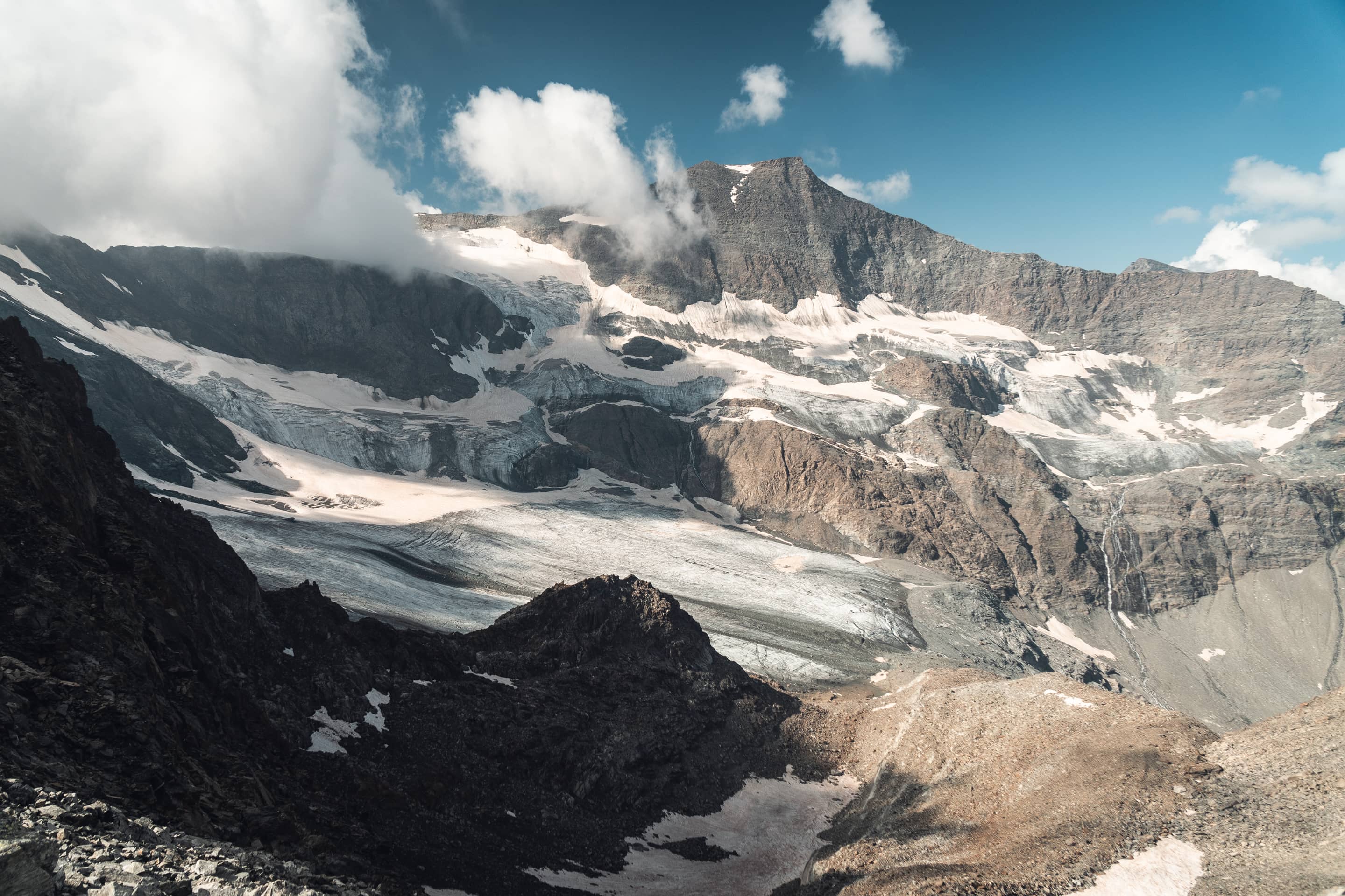
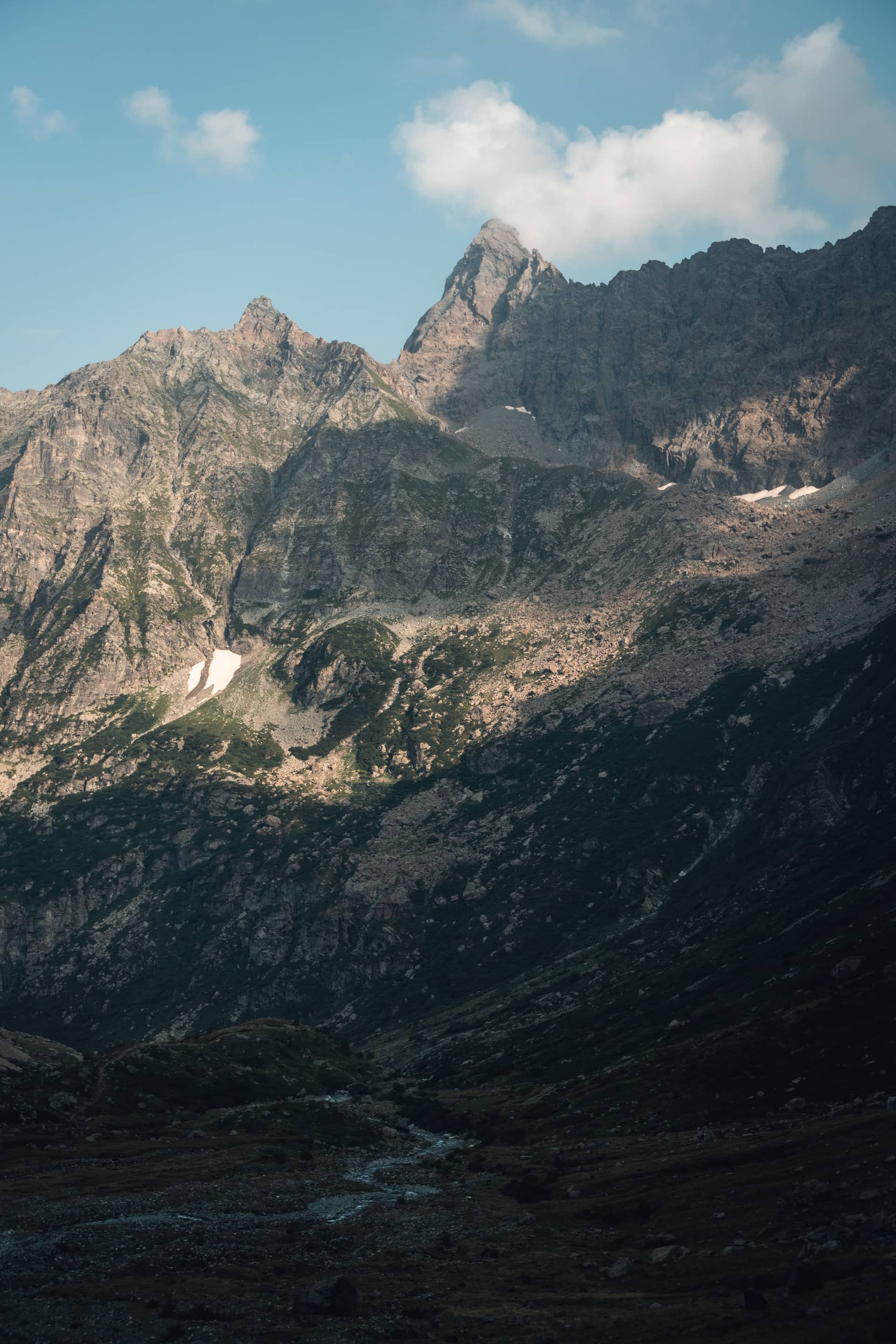
Figure 1 & 2 · Glacier of the Evettes
Figure 2 · Mount Albaron, 3640 m
Figure 4 · Needle of Mondrone, 2960 m
14 km
1790 m
Torrent of Sea
18 km
2750 m
Pass of Sea
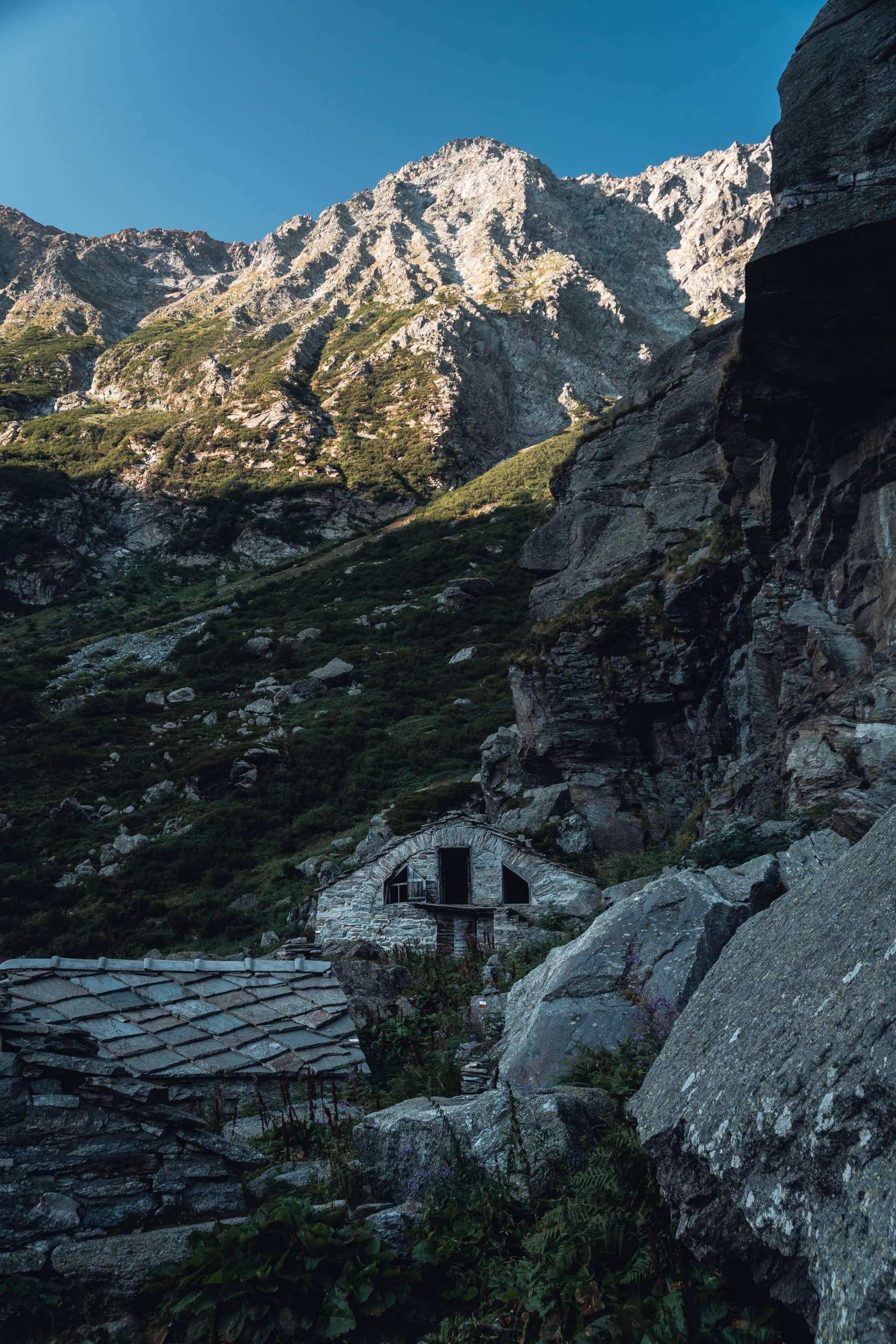
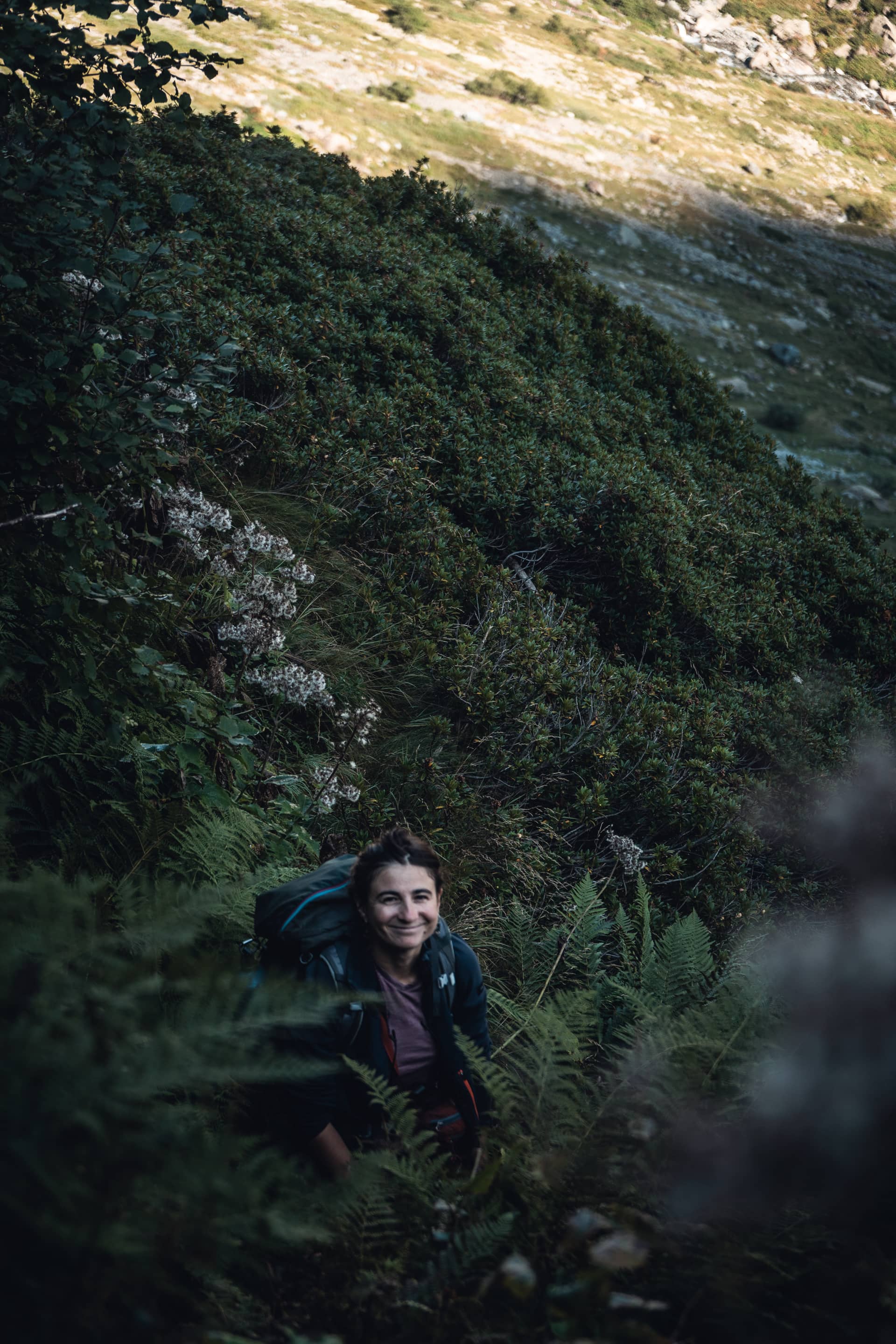
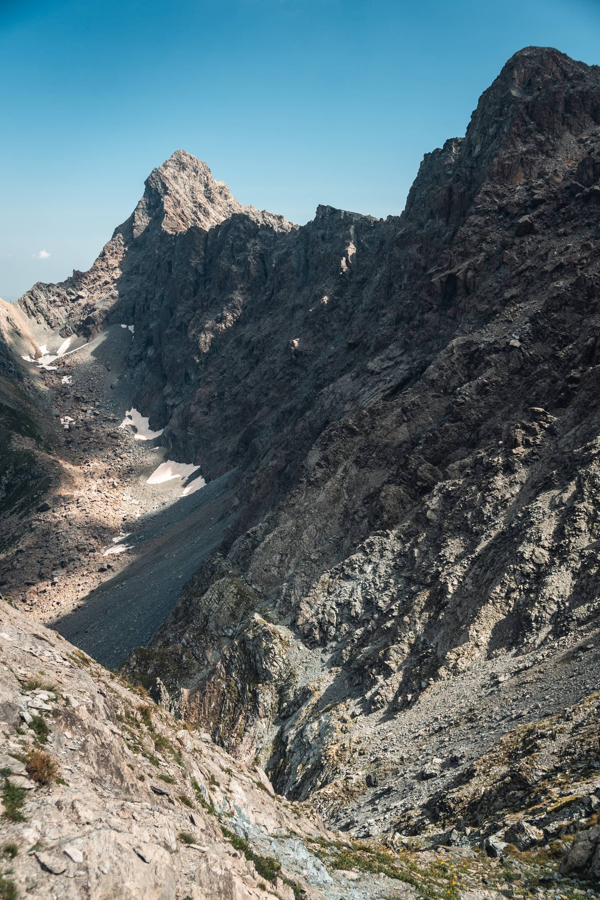
Figure 1 & 2 · Stone ruins hidden into the alpine pasture of Sea
Figure 3 · Pass of Sea, 2750 m
22 km
1820 m
Torrent of Ala
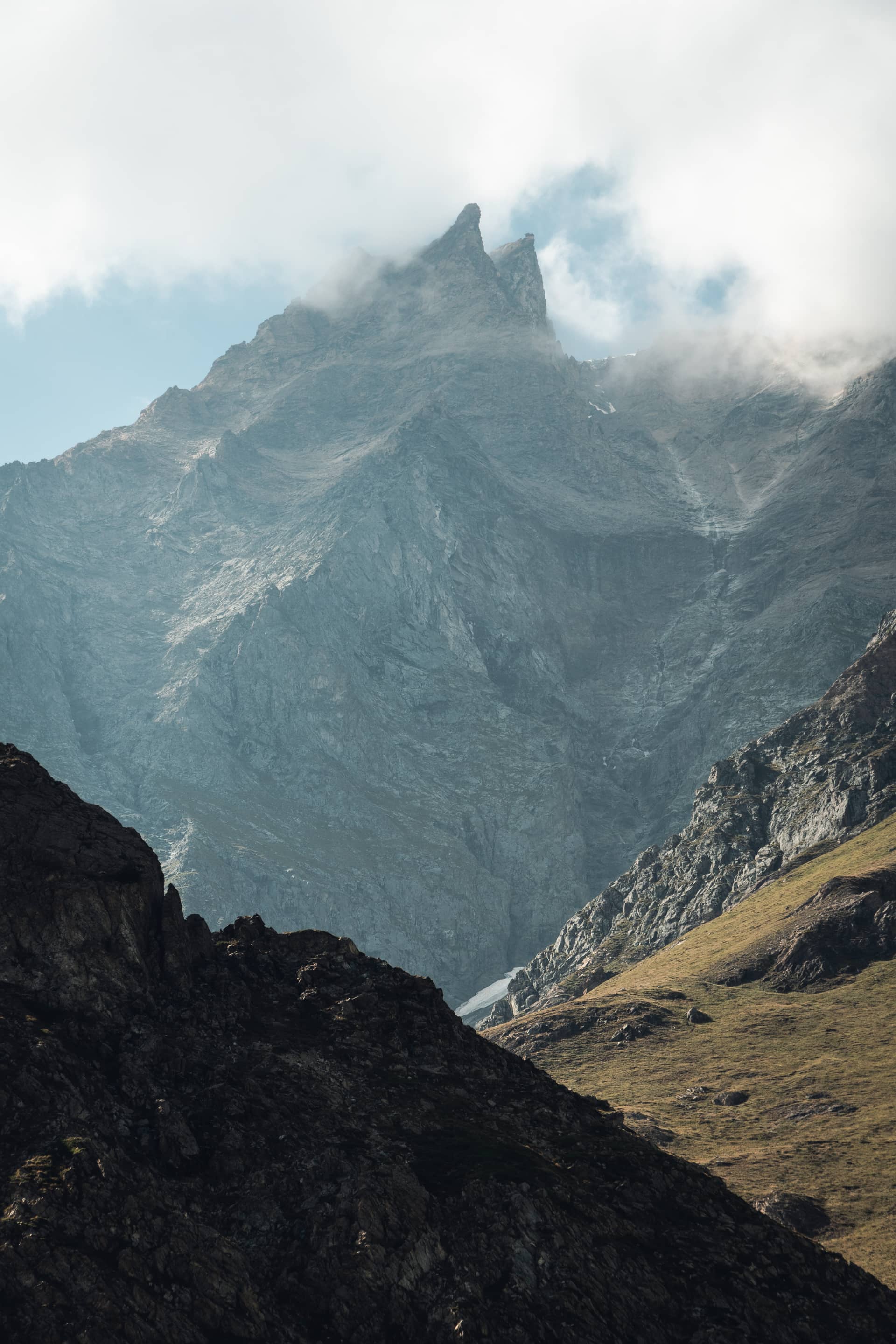
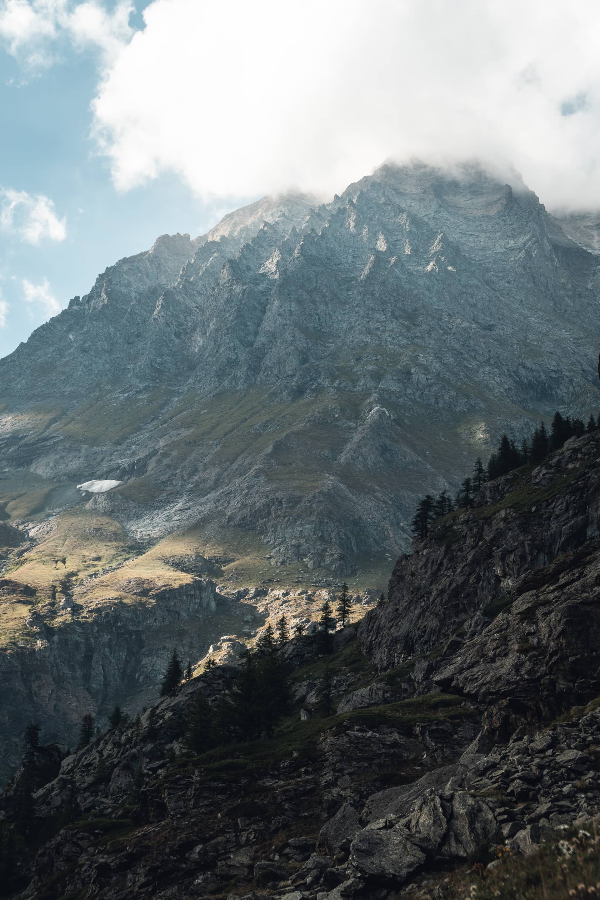
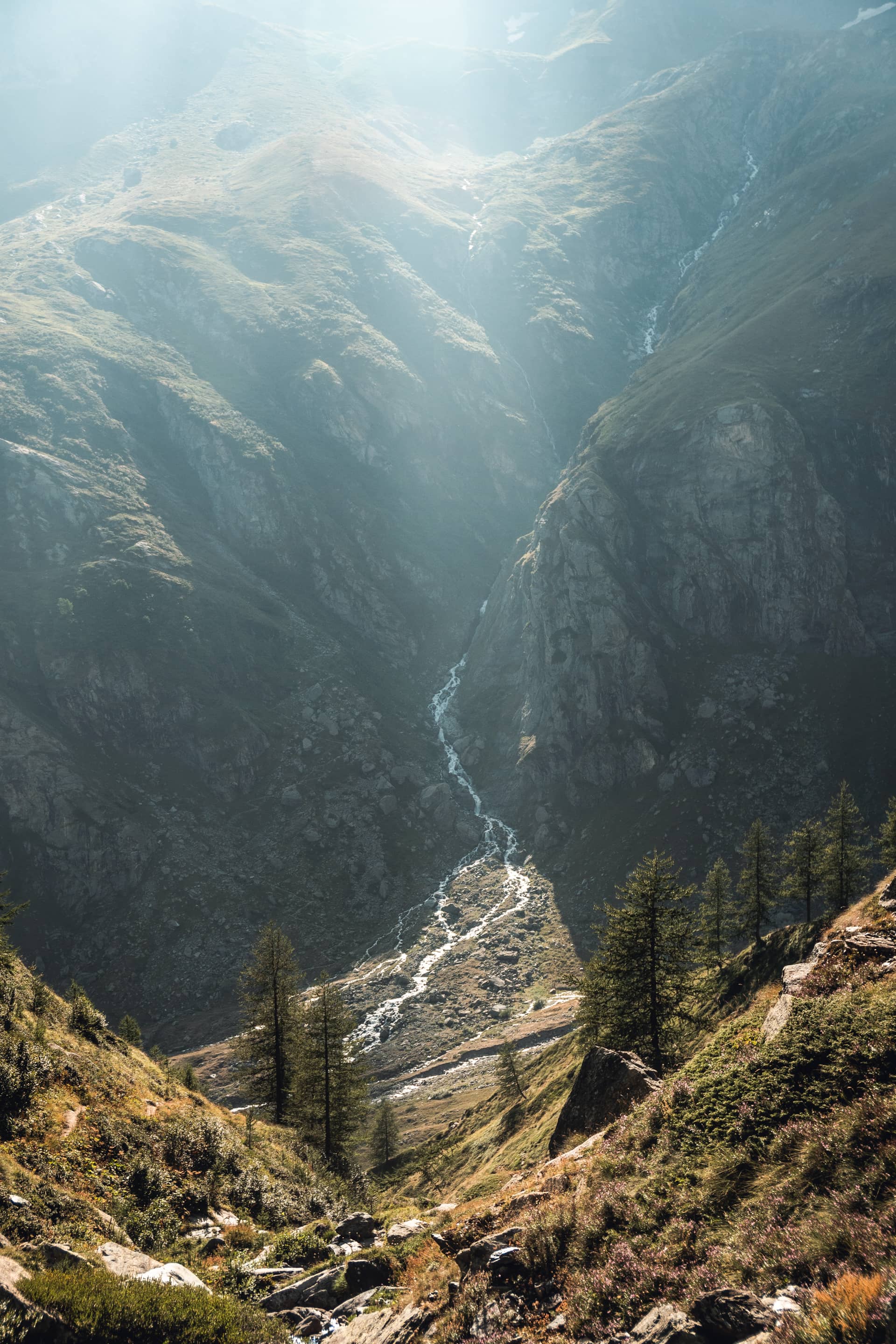
Figure 1 & 2 · Needle of Ciamarella, 3680 m
Figure 3 · Torrent of Ala
32 km
2910 m
Pass of Altare
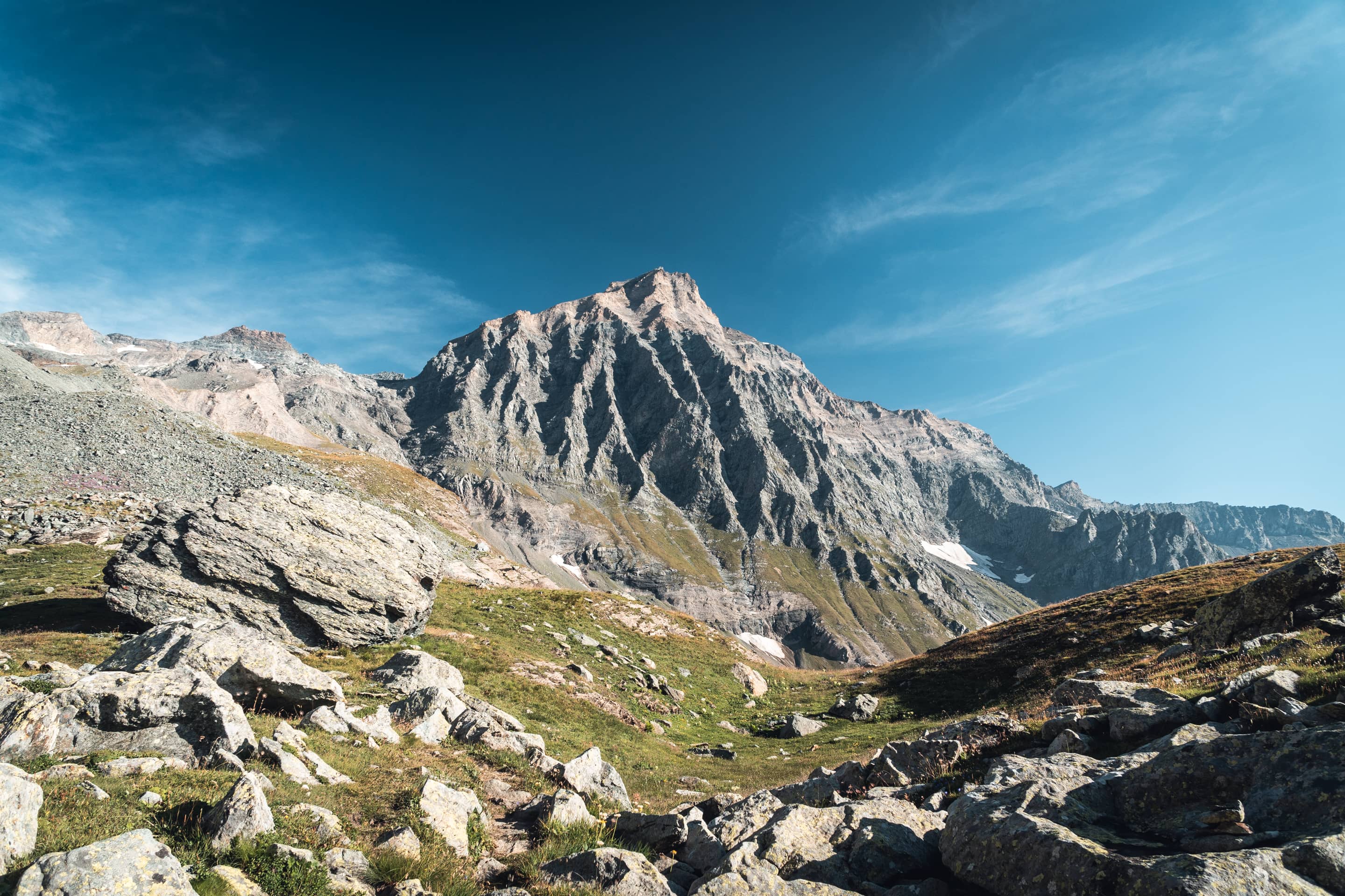
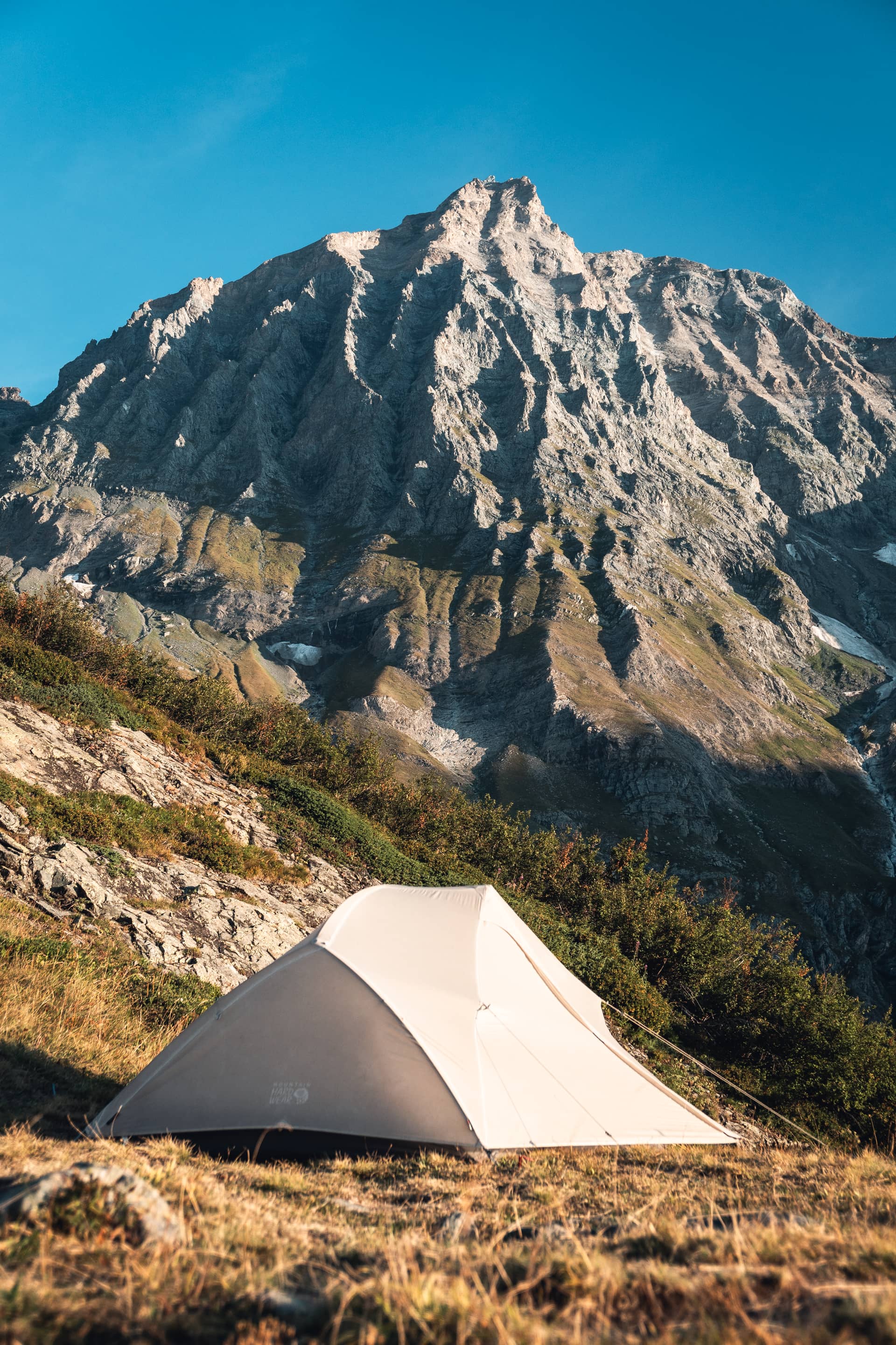
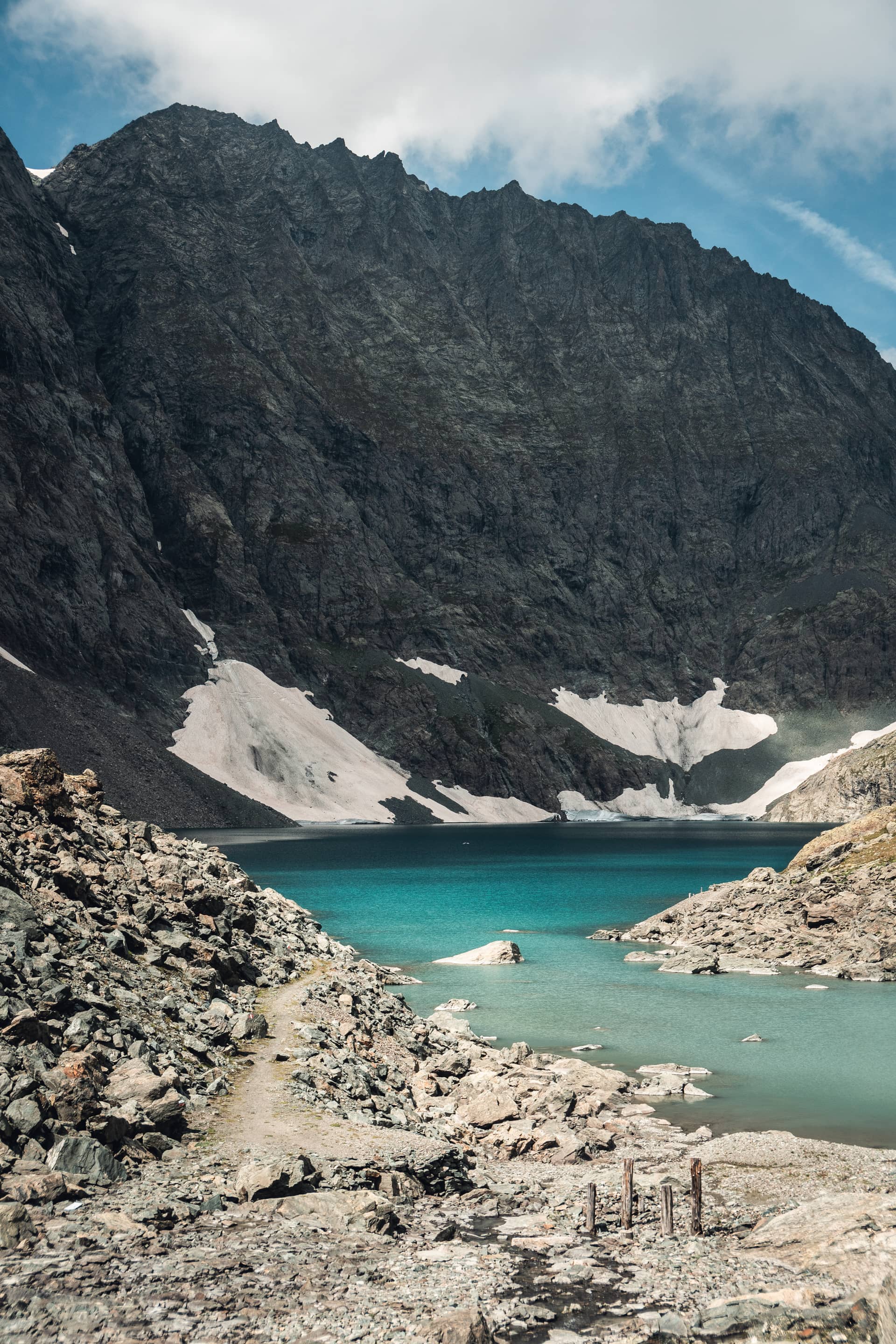
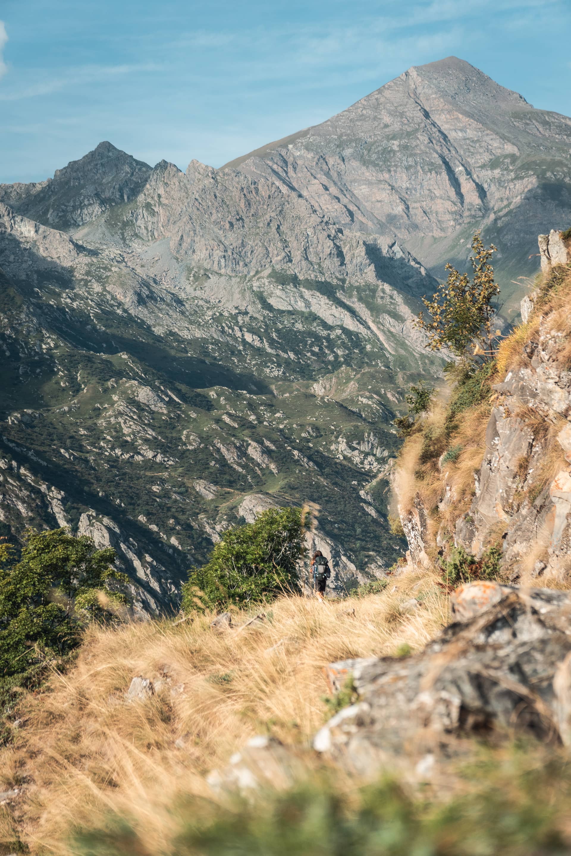
Figure 1 & 2 · Needle of Ciamarella, 3680 m
Figure 3 · Artificial lake of the Rossa
Figure 4 · Mount Rocciamelone, 3540 m
44 km
1800 m
Lake Malciaussia
49 km
2560 m
Pass Croce di Ferro
70 km
1950 m
Road D1006 towards the pass of the Mont Cenis