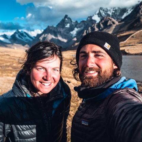
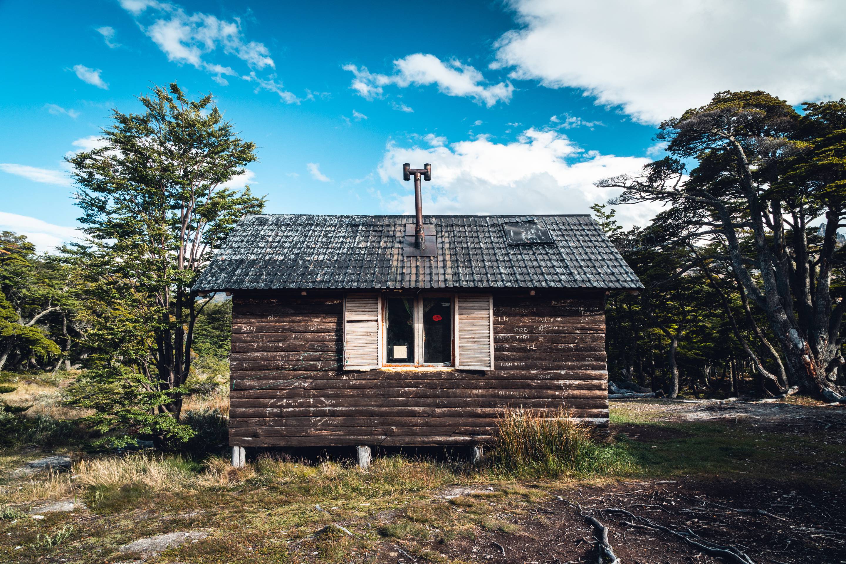
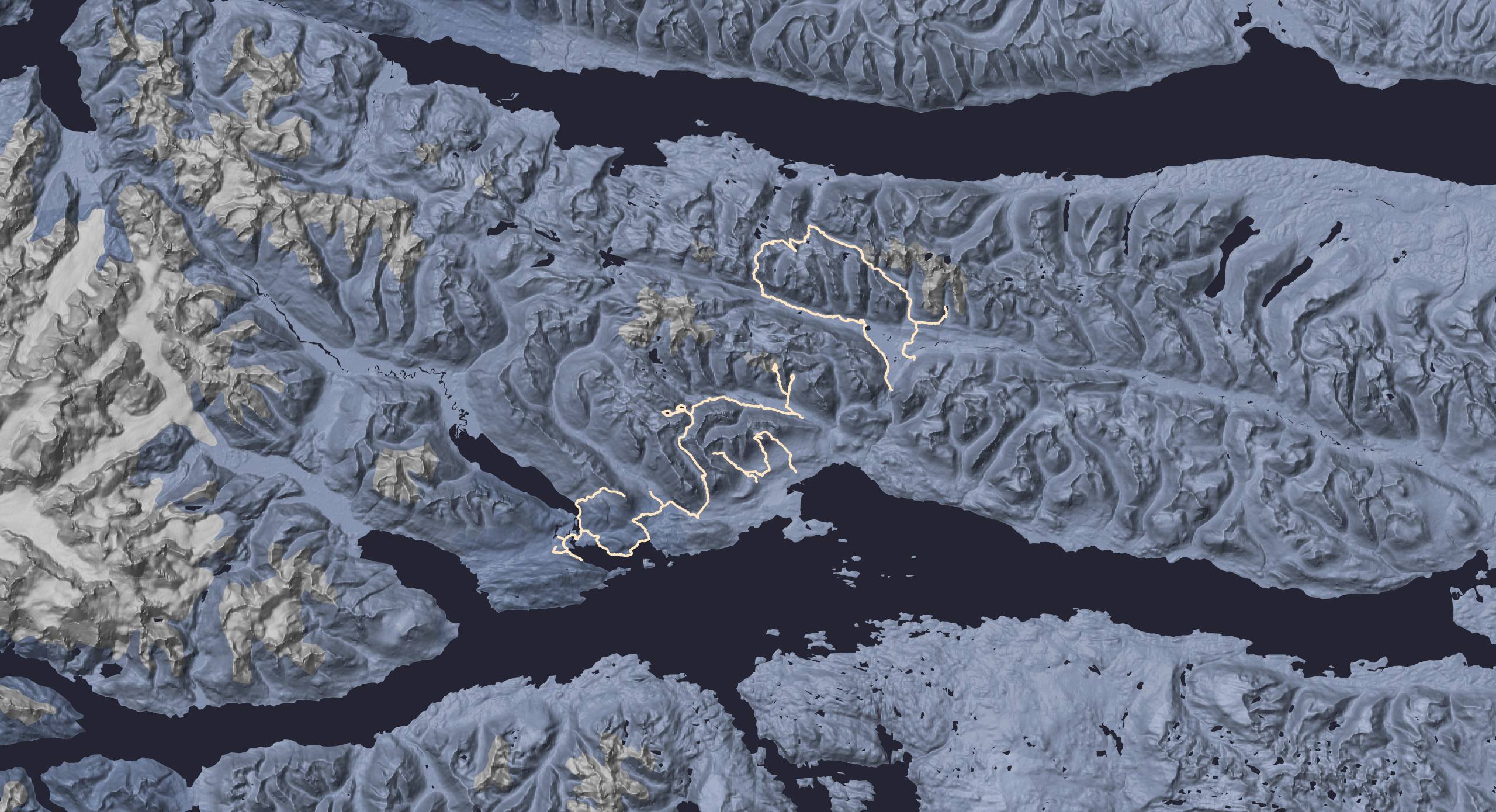
To plan those hikes, we only followed tracks we found on maps with no further documentation. To avoid the Tierra del Fuego National Park entrance, we improvised our way off track, hence the inaccuracy of some parts of the route. Dense forests, bogs, and steep faces made alternatives time consuming to explore. But those days of hiking were the first of our trip and very welcome. As we were hosted by the most generous man of Ushuaia in his humble and warm refuge in the mountain, we were quite close to the start and the end of each hike we reached by hitchhiking.
Location
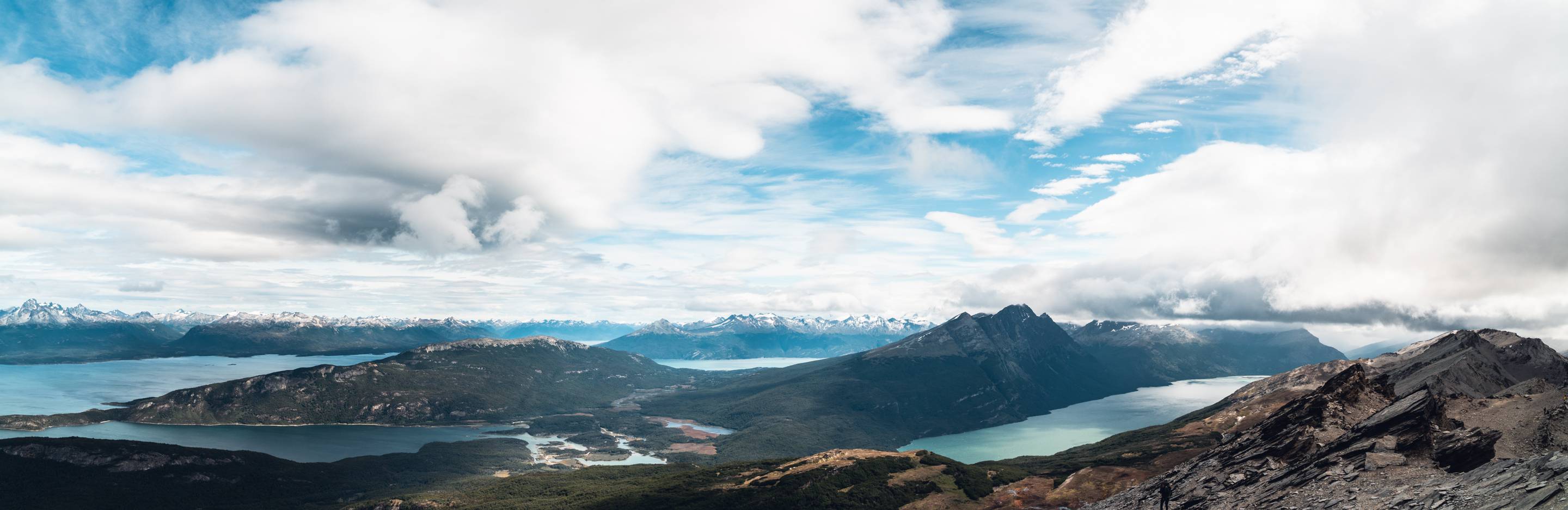
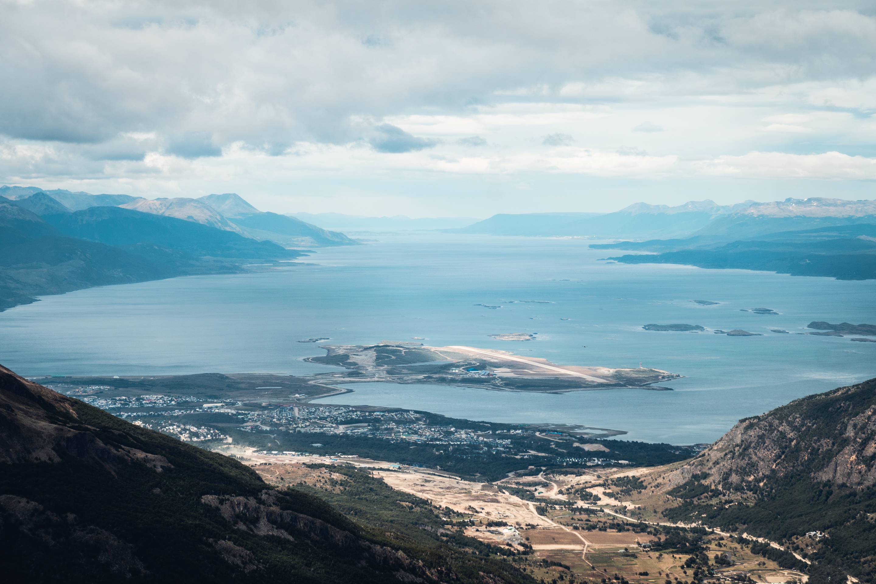
Tierra del Fuego
Around Ushuaia
Season
Summer
January 2019
Duration
10 days
10 days hiking
Distance
158 km
158 km hiking
Elevation
5 890 m
From 0 m to 935 m
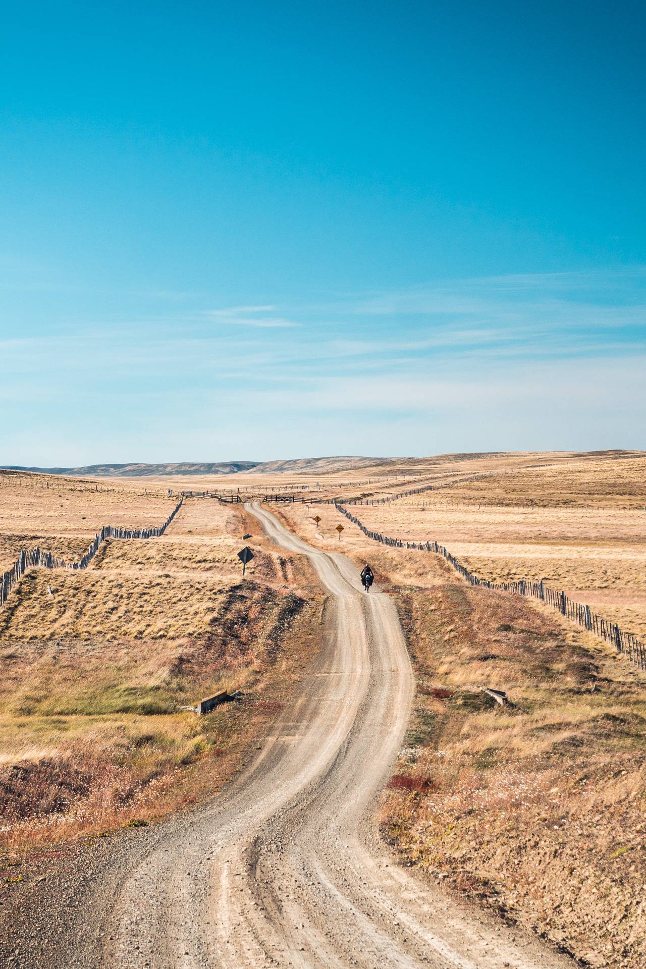
Surface
99% unpaved
14% off track
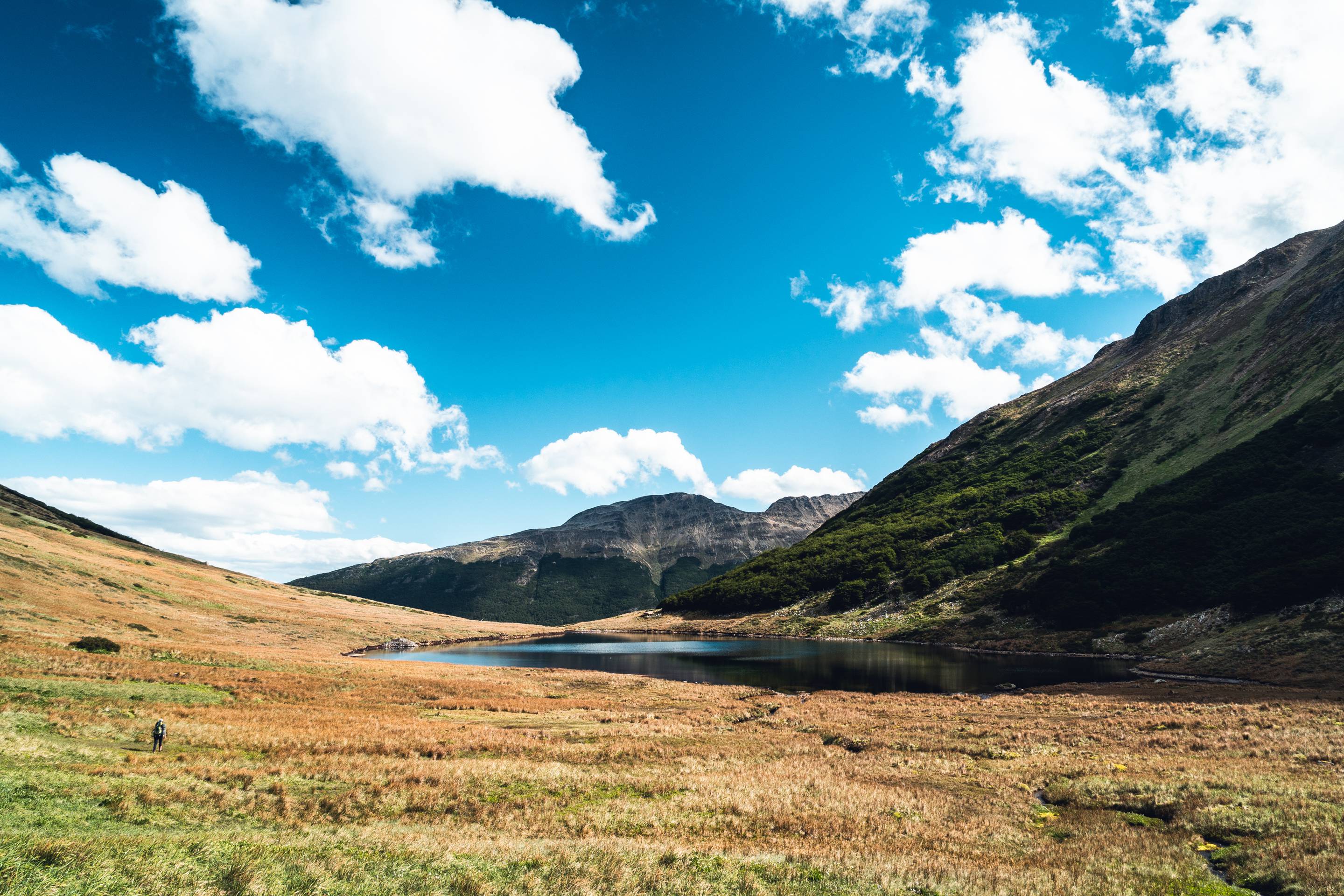
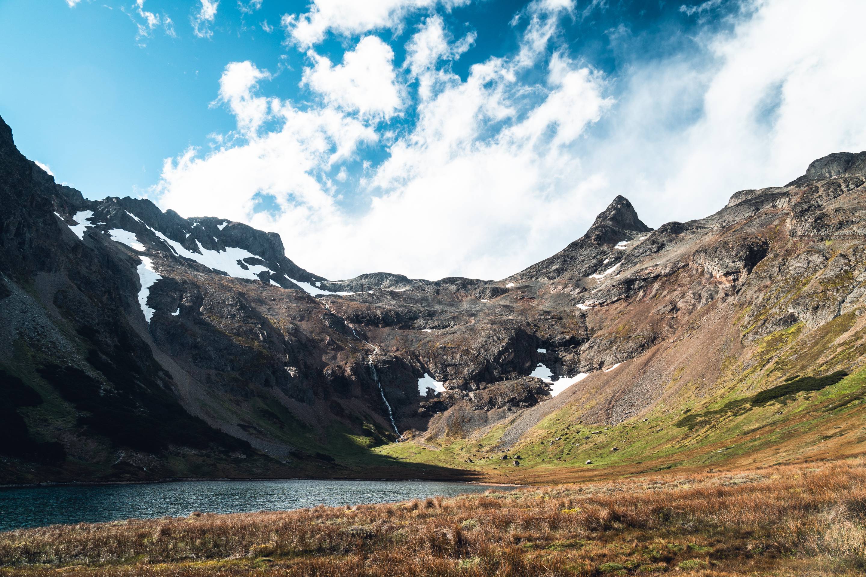
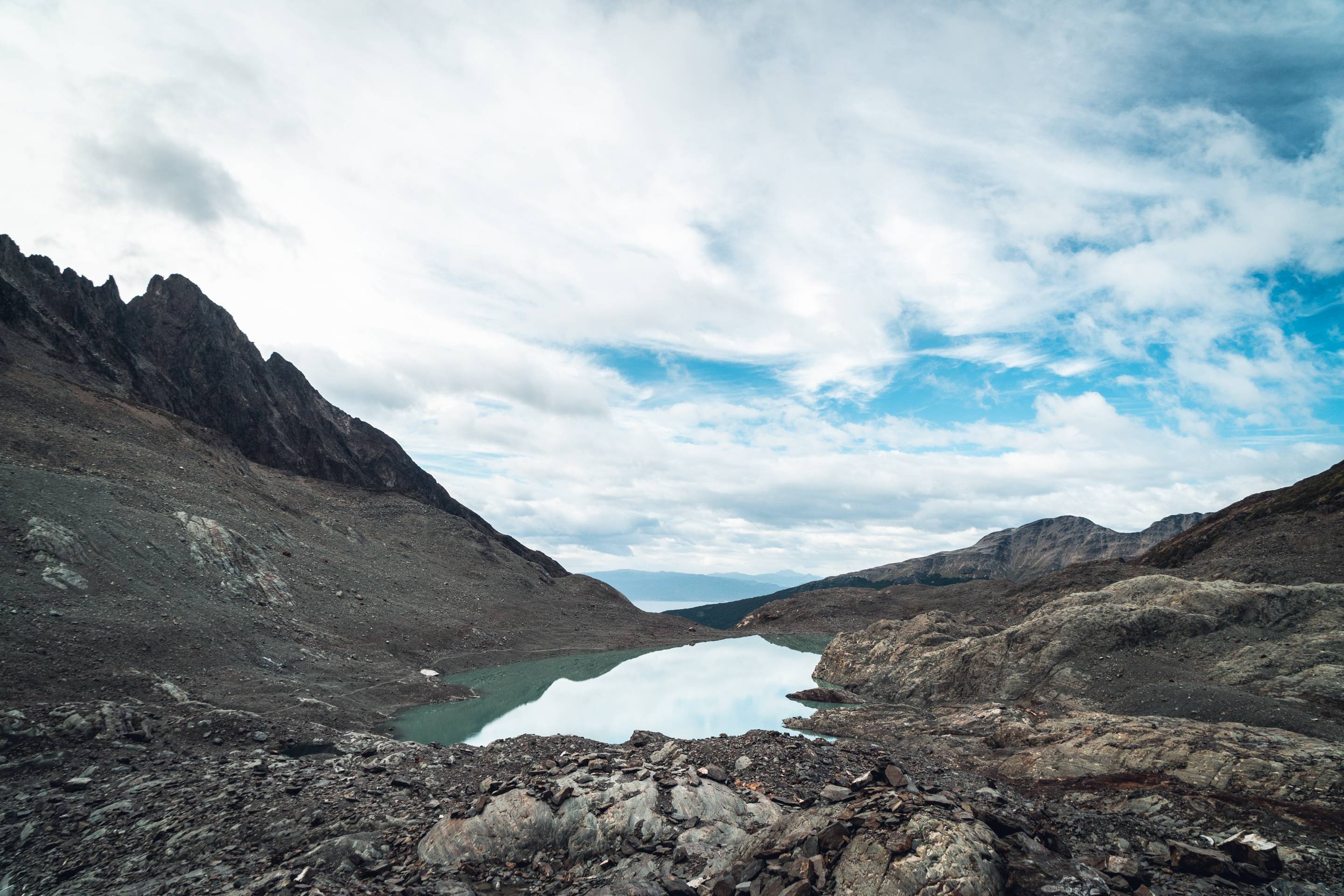
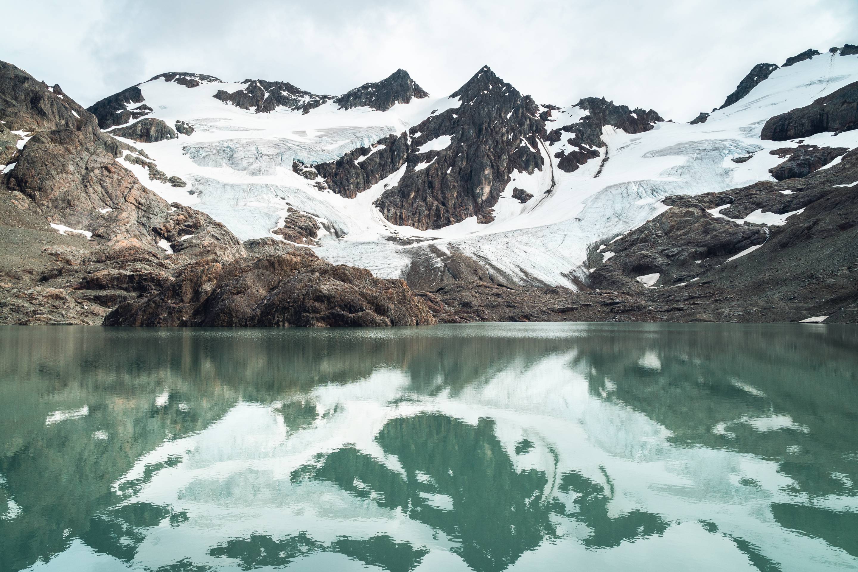
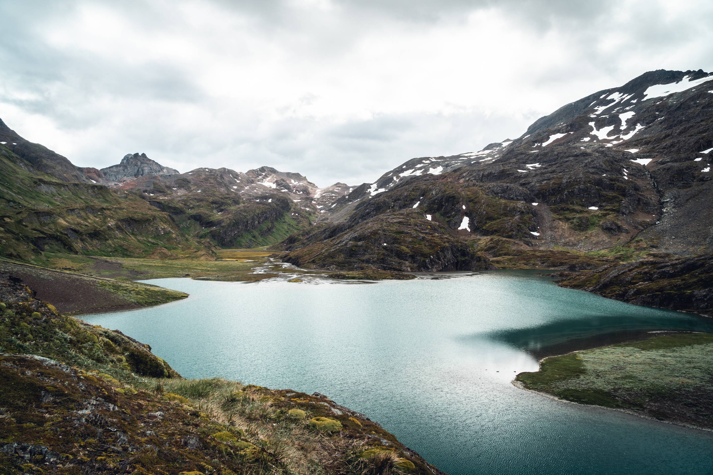
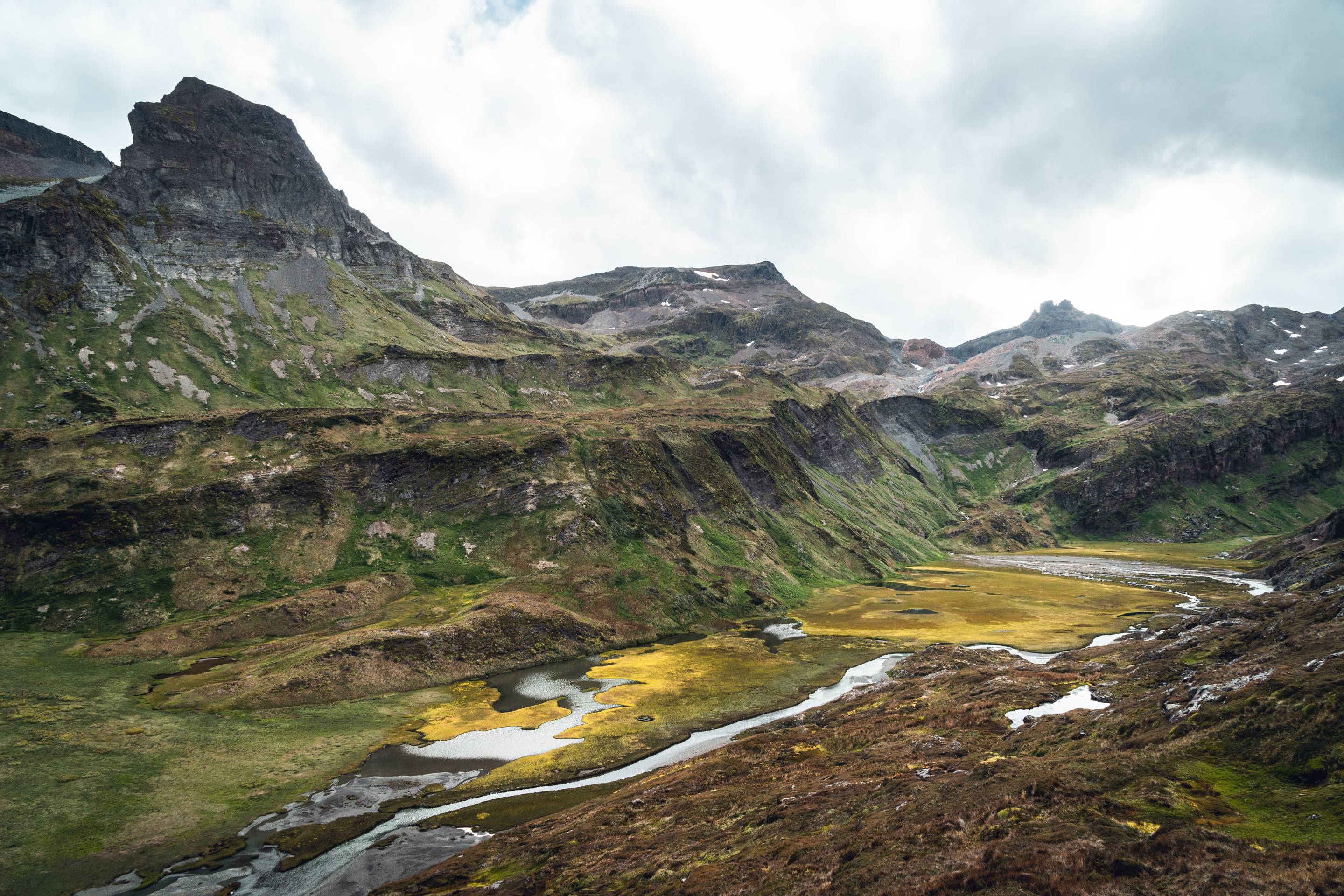
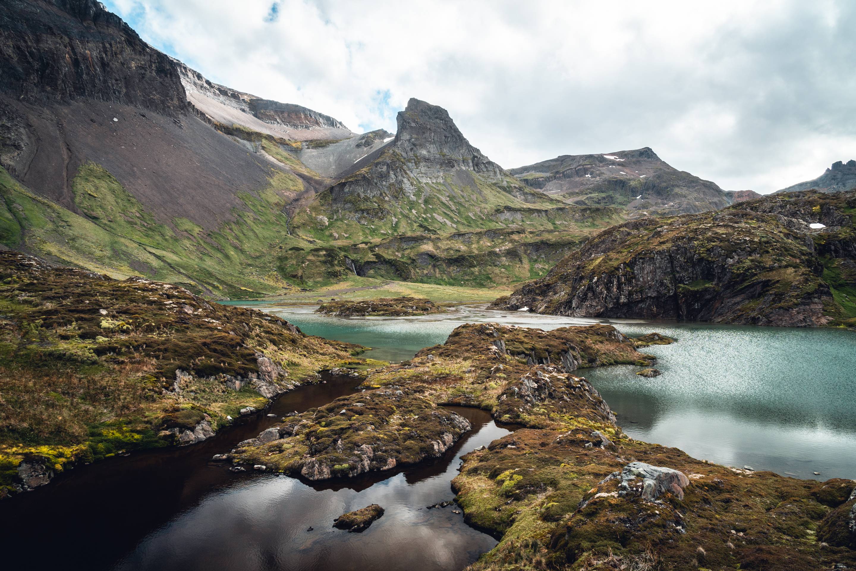
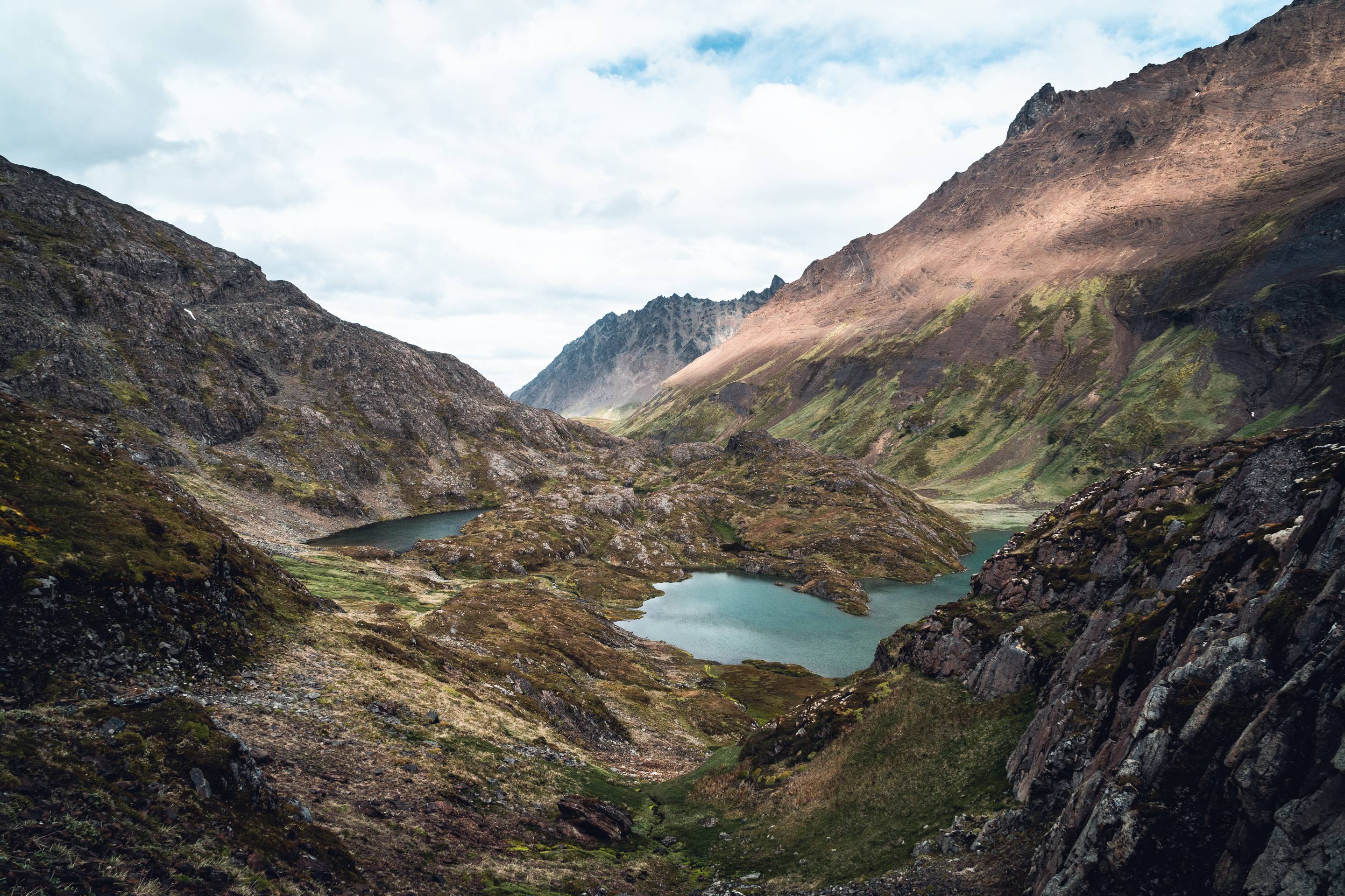
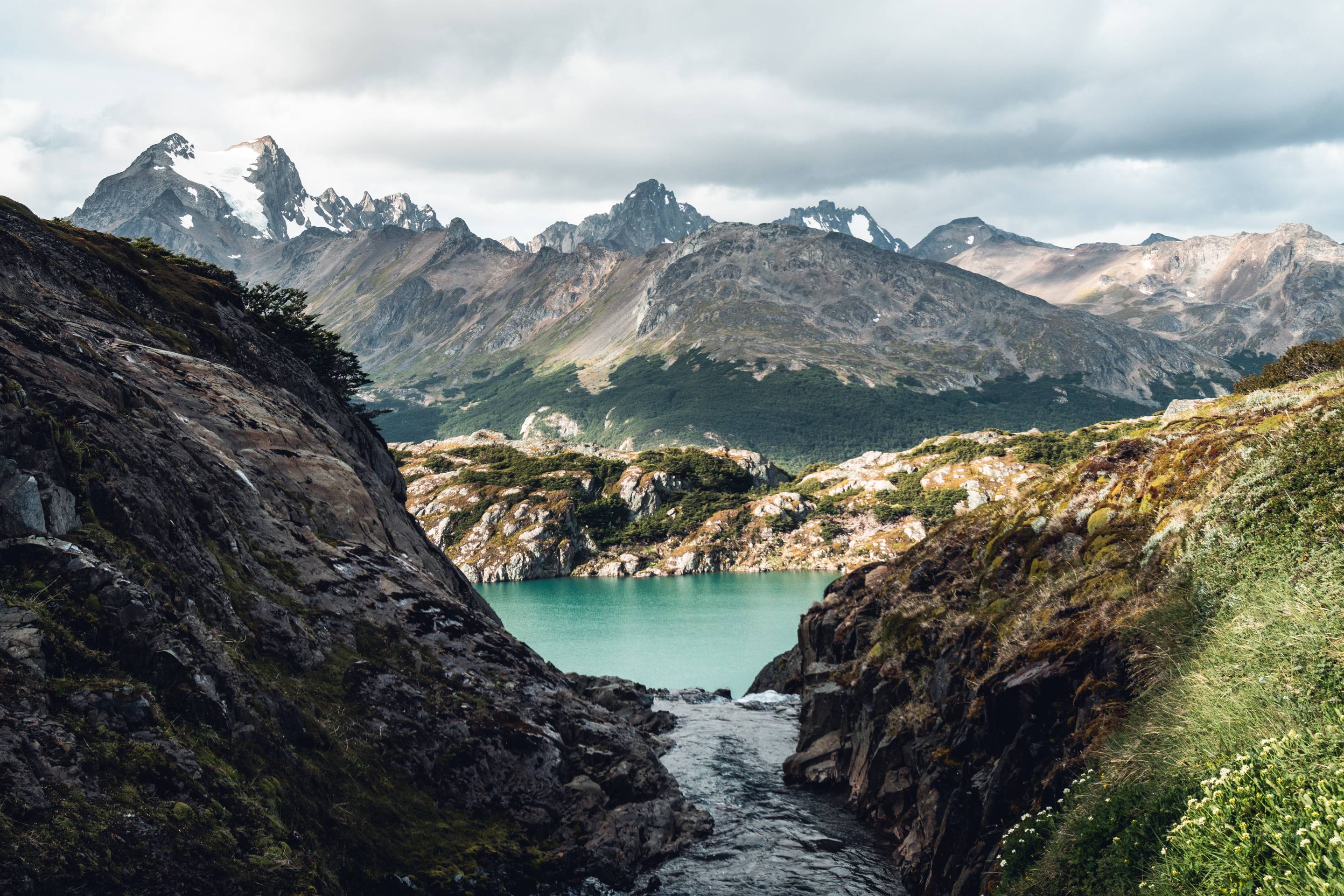
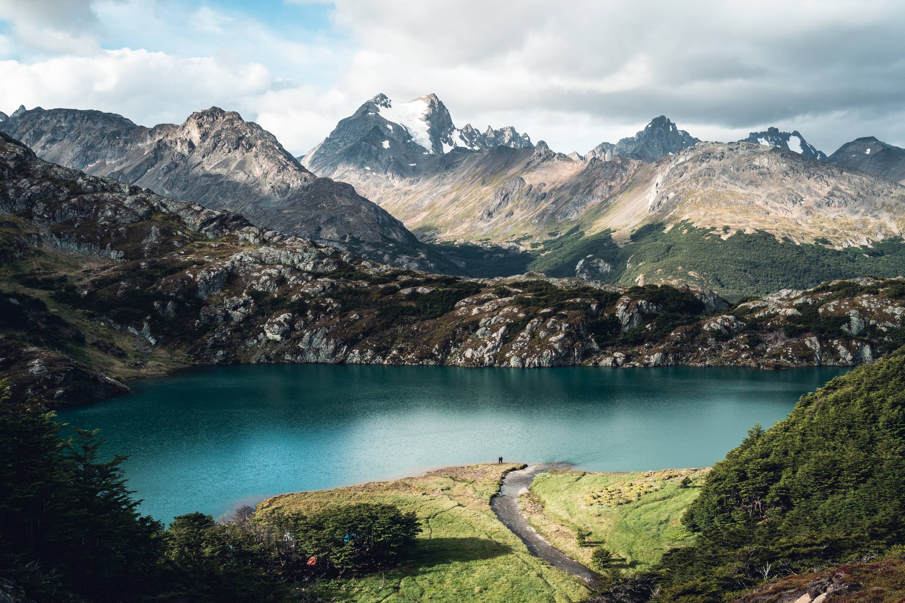
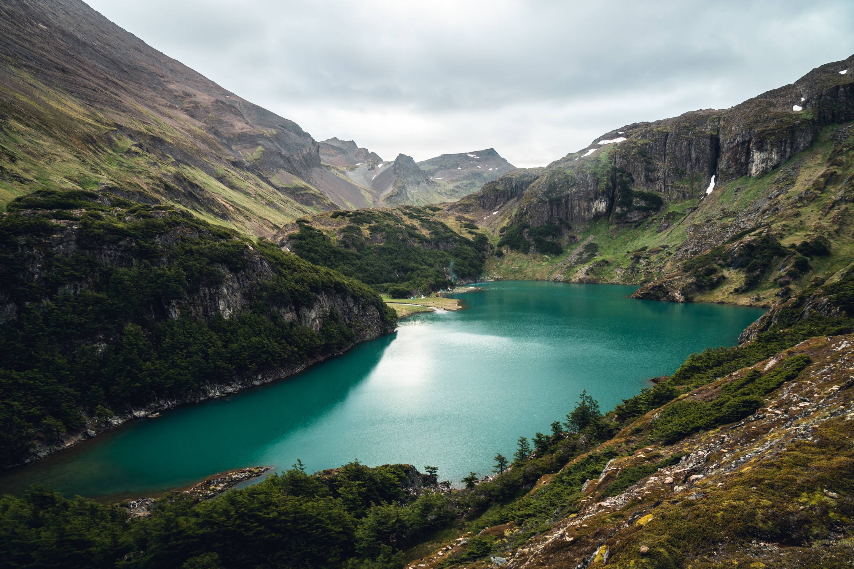
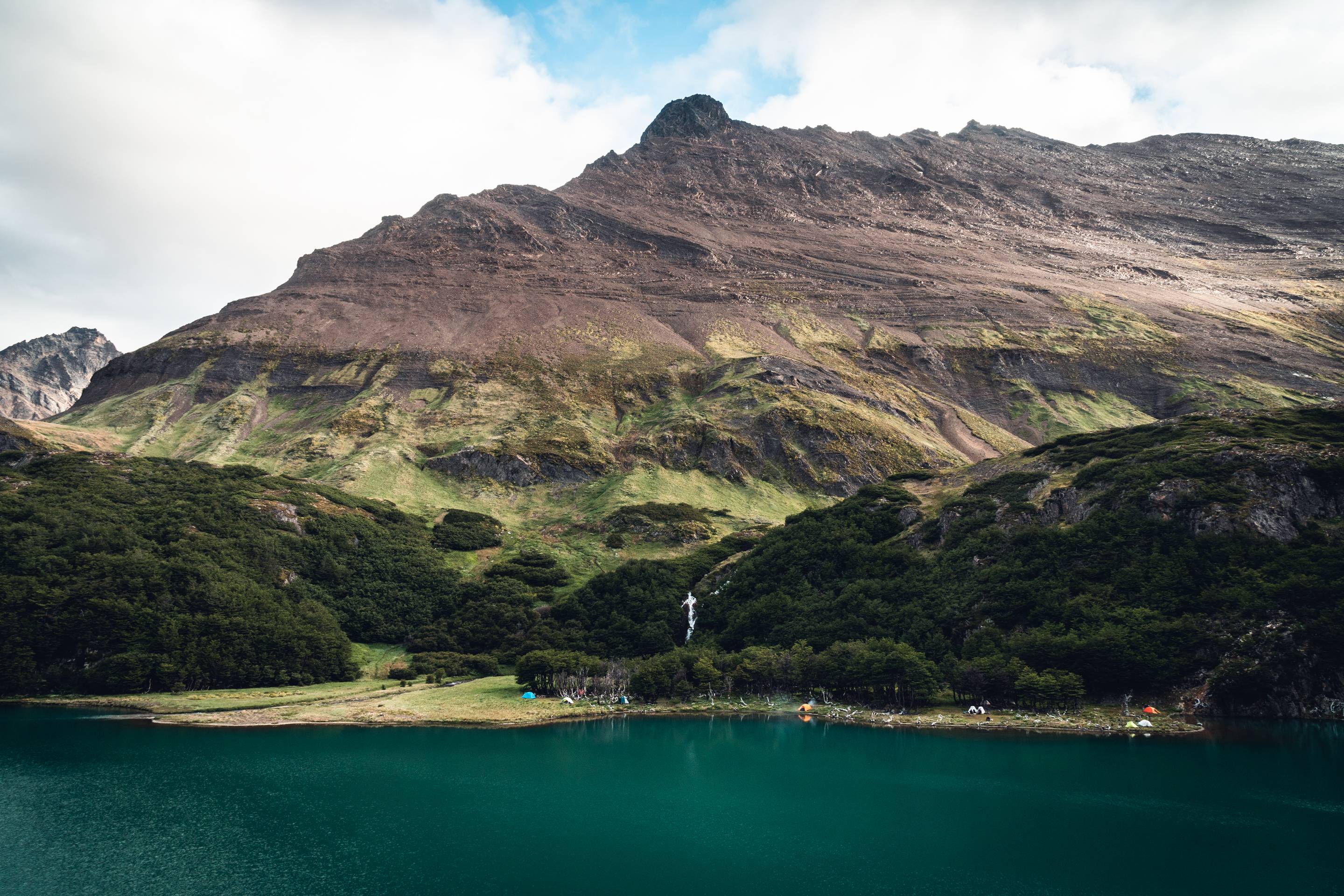
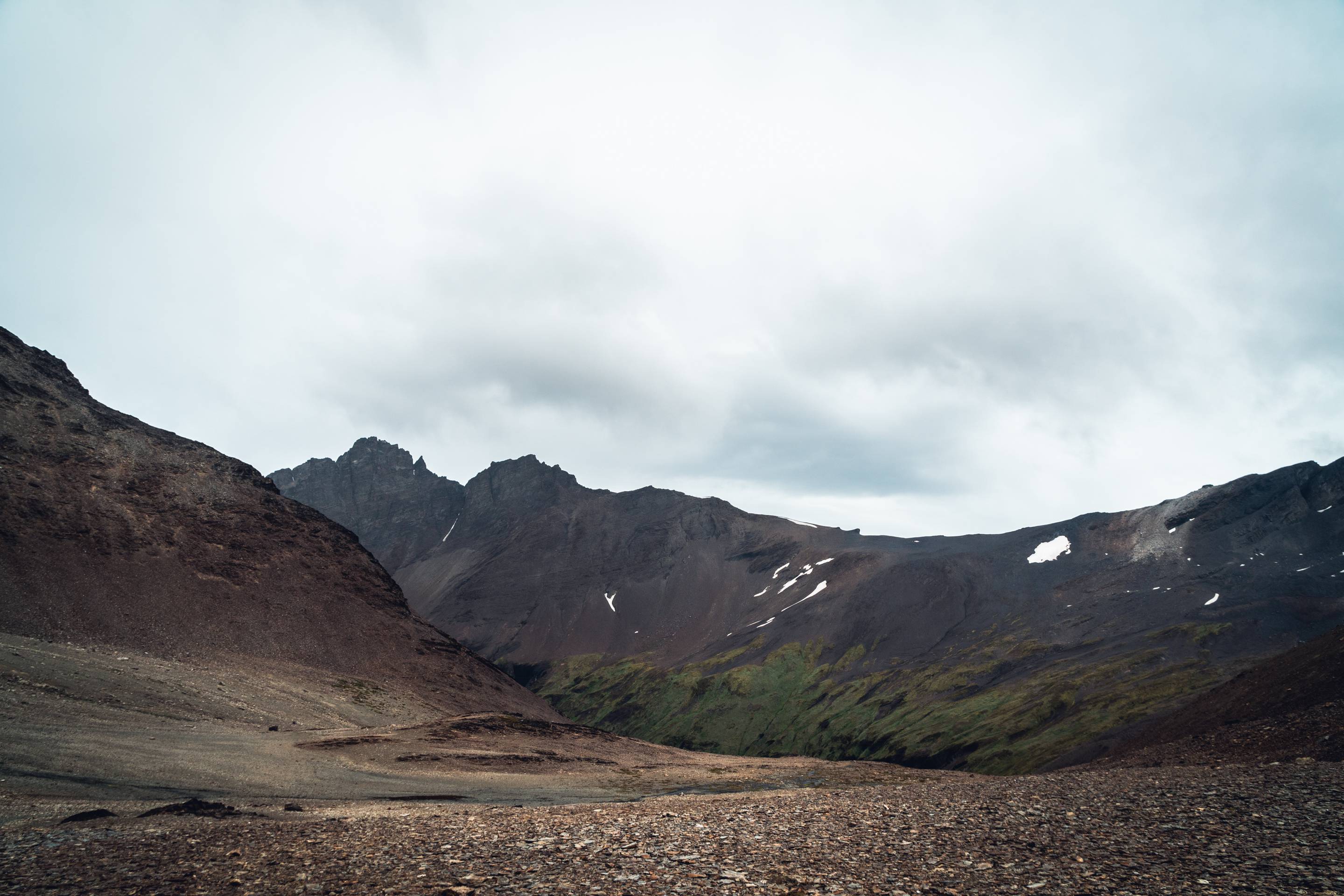
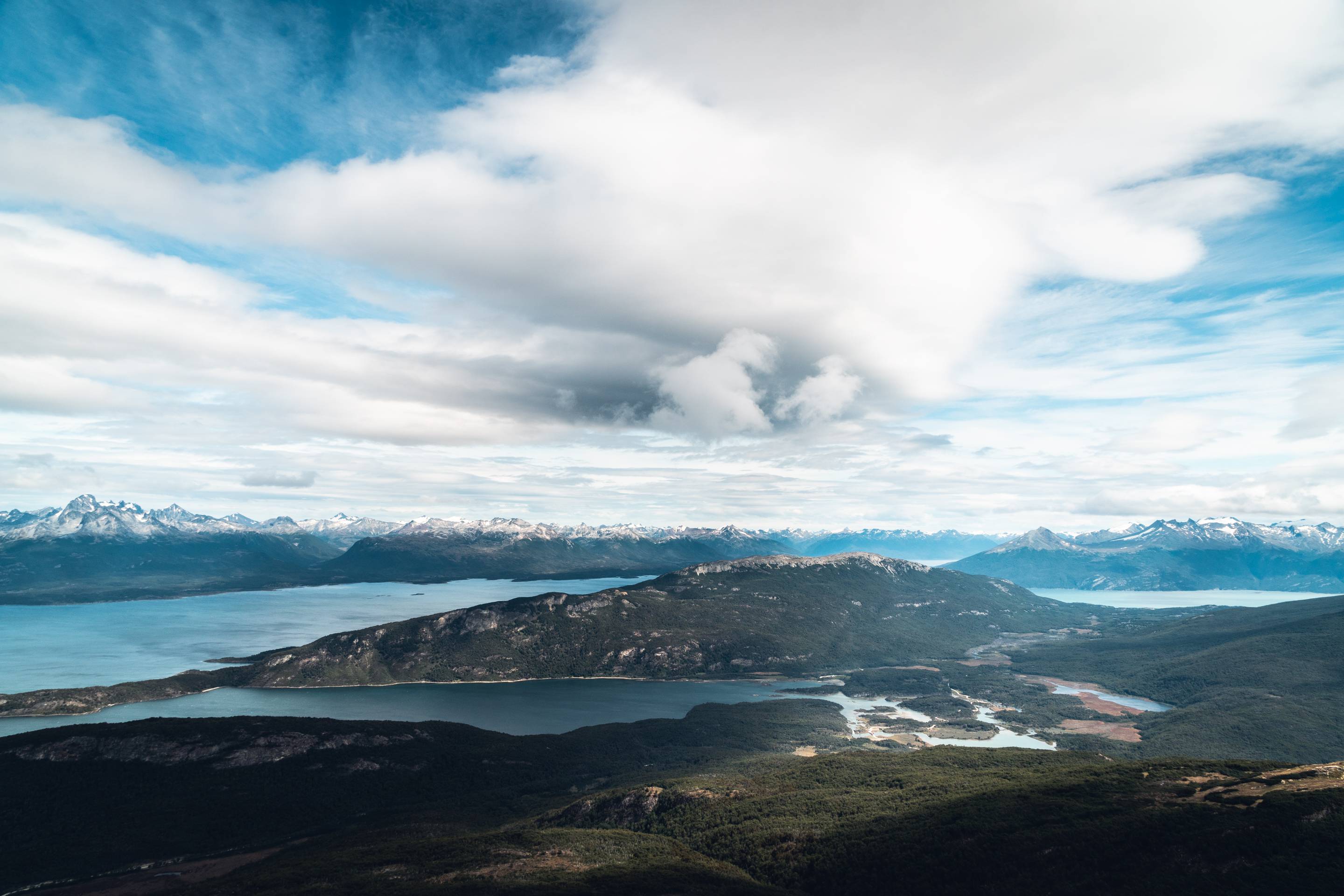
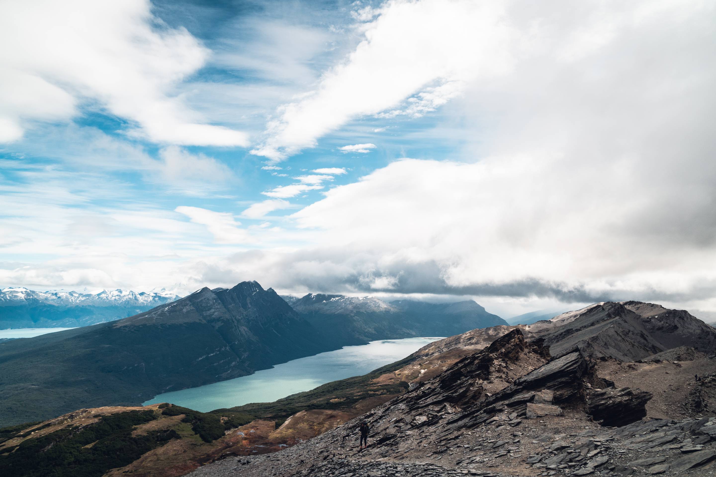
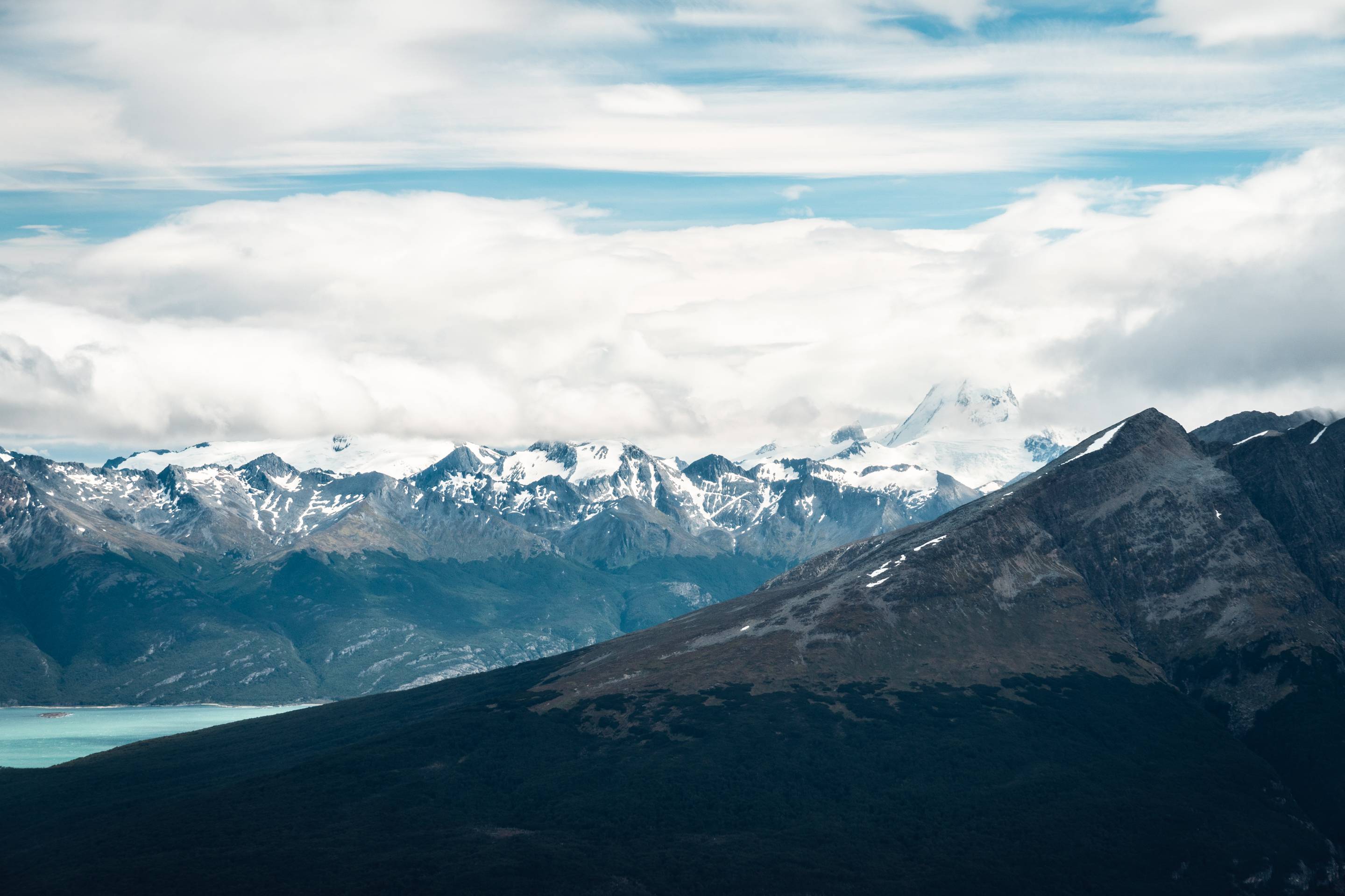
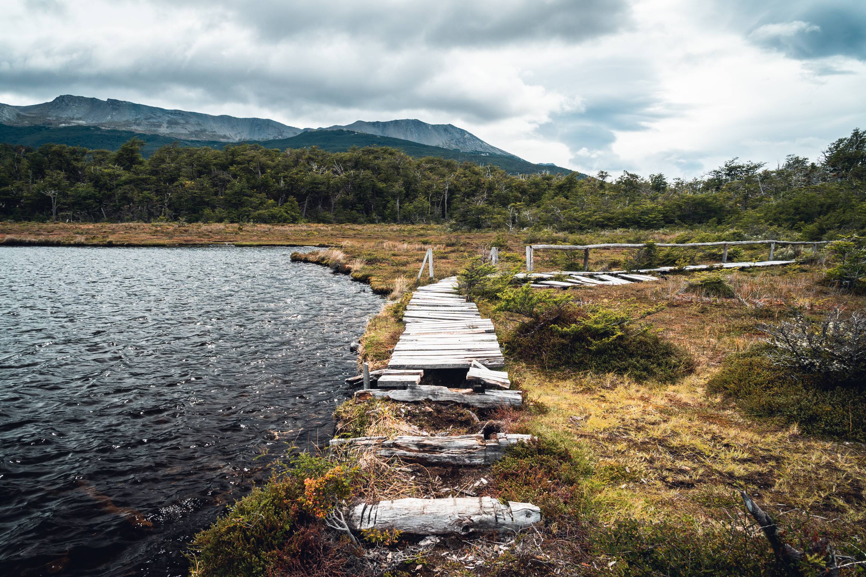
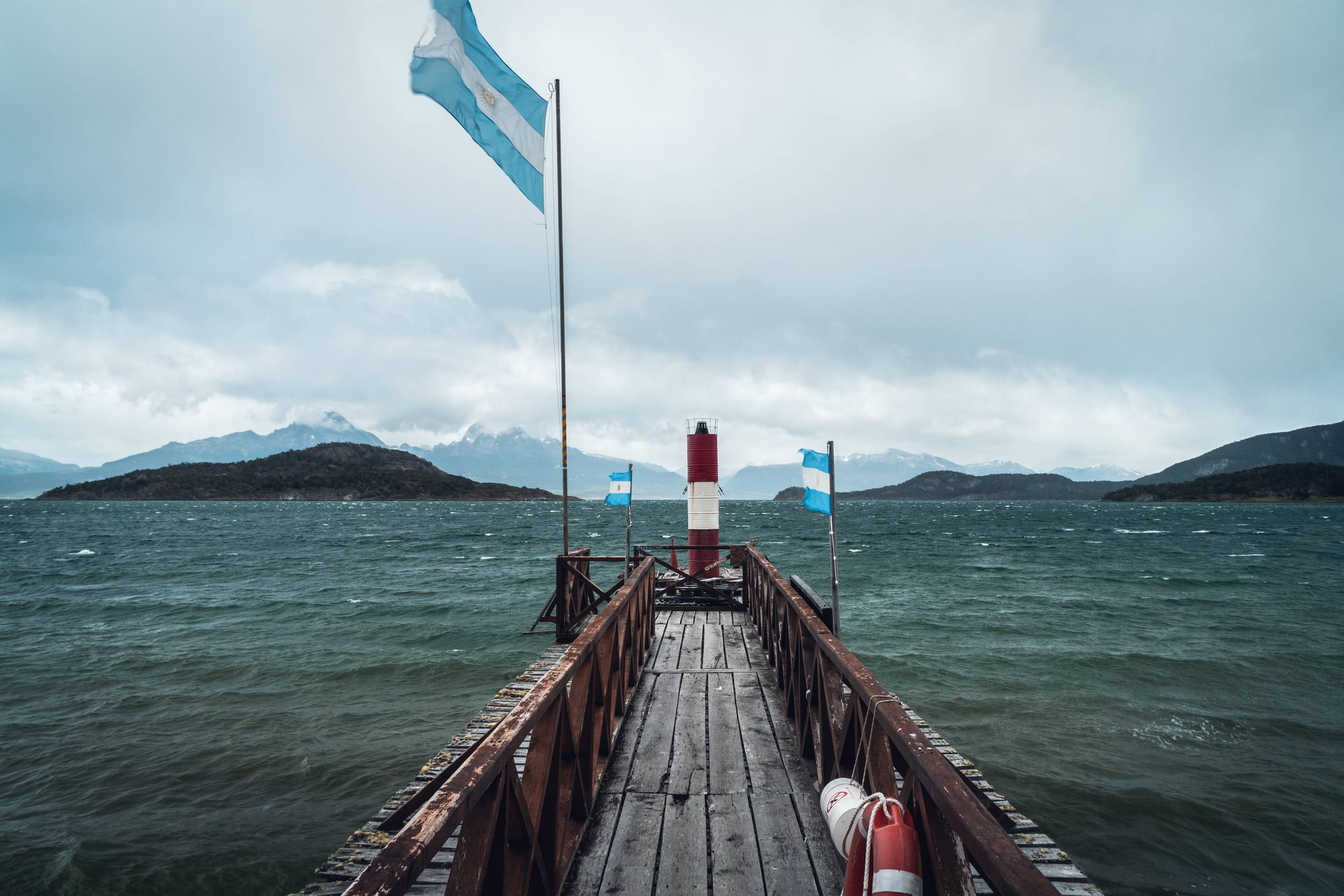
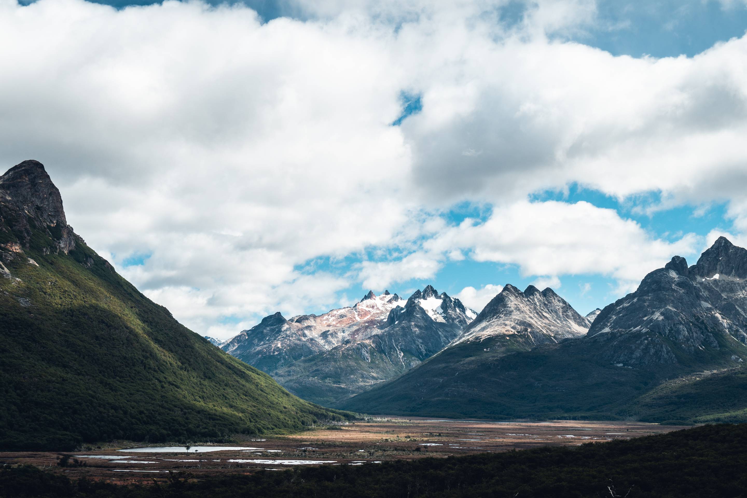
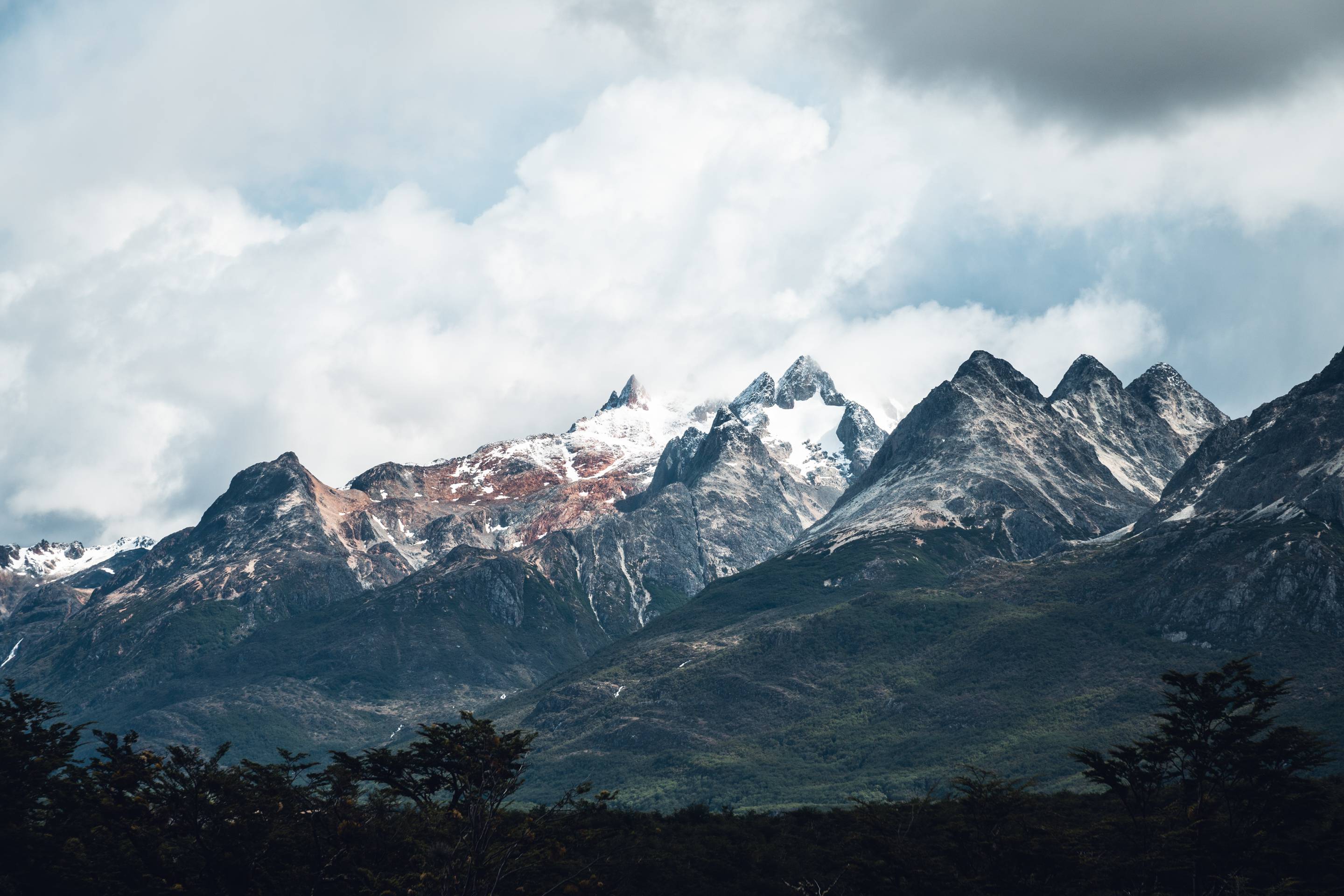
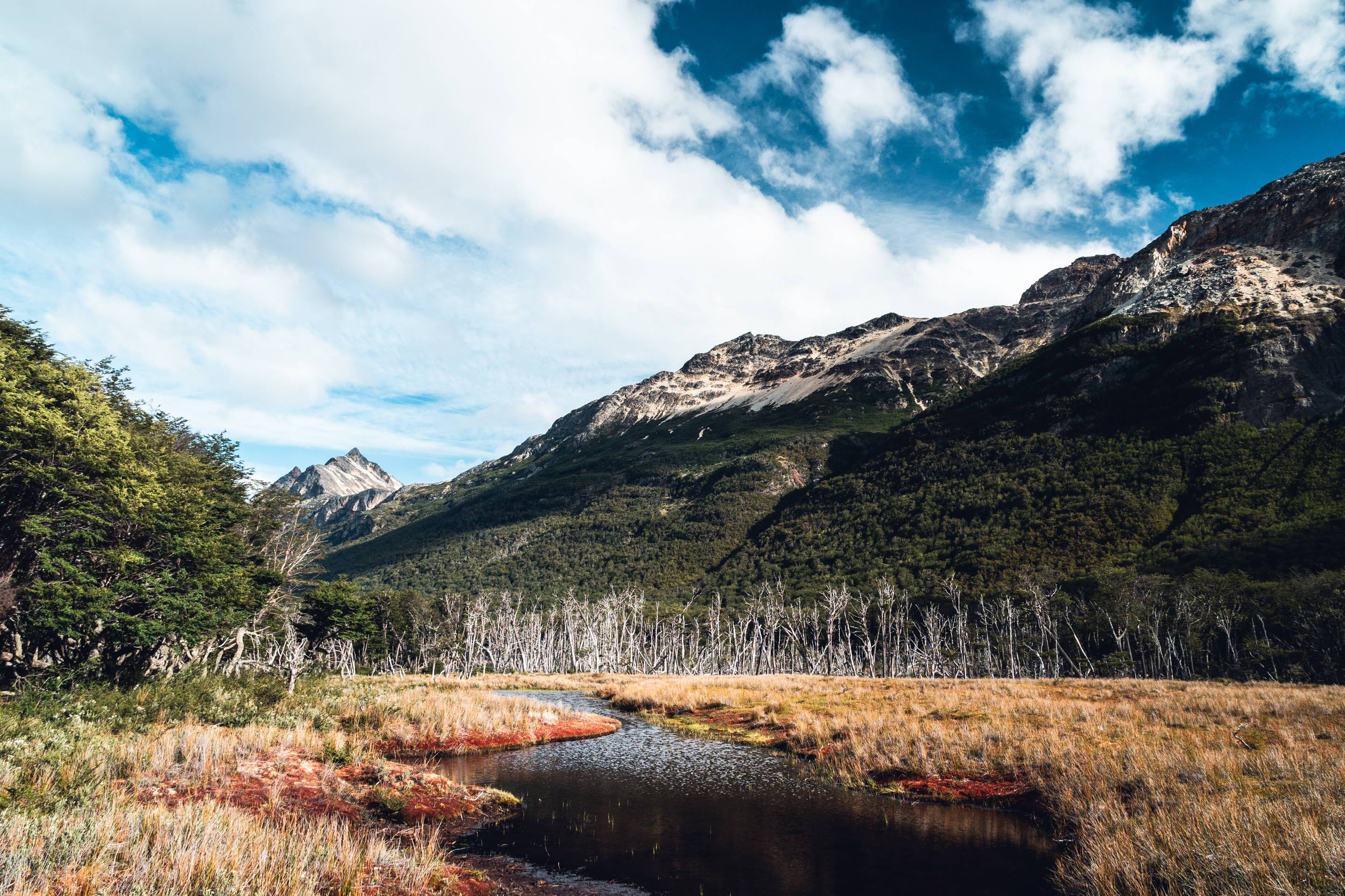
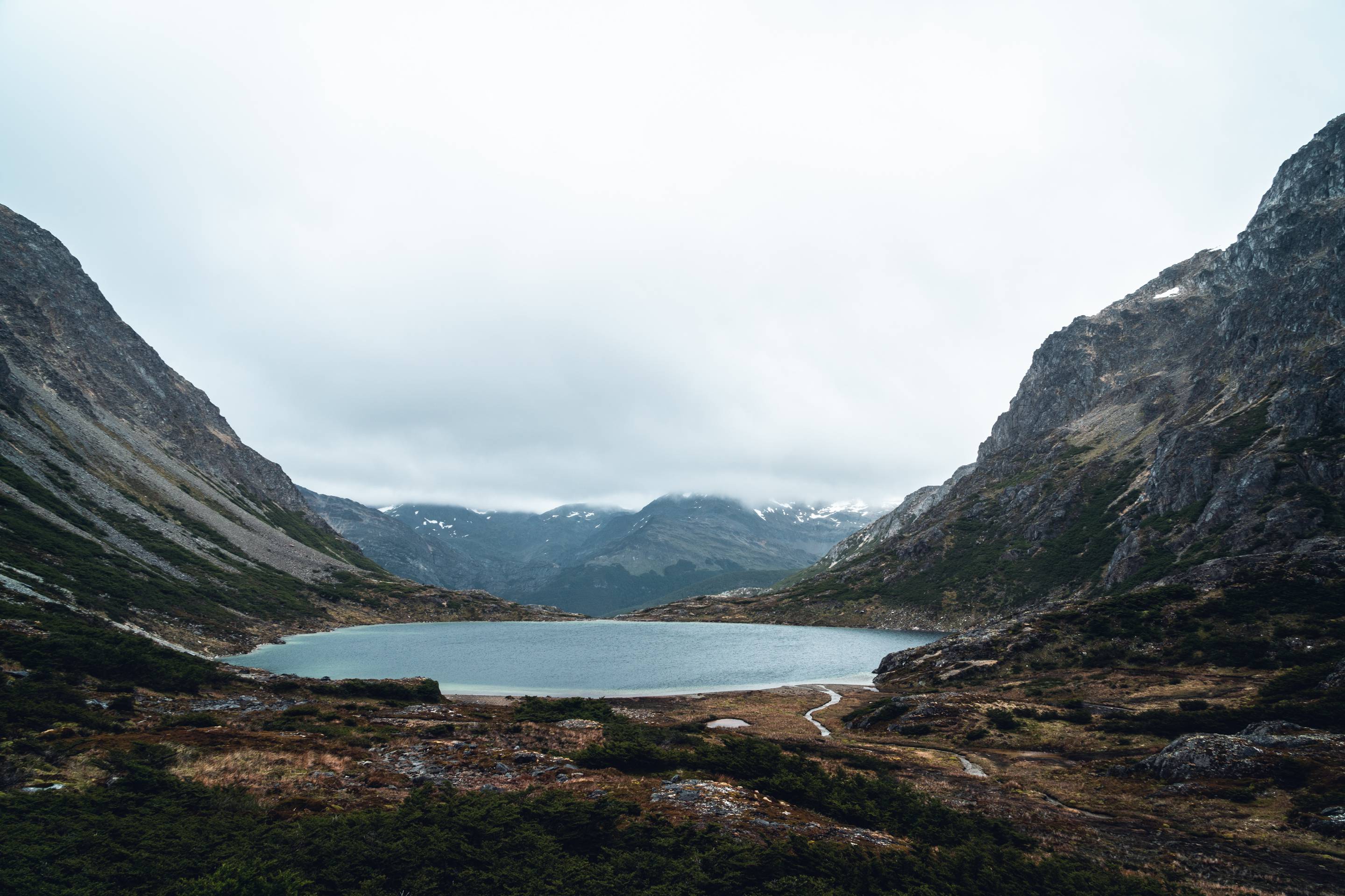
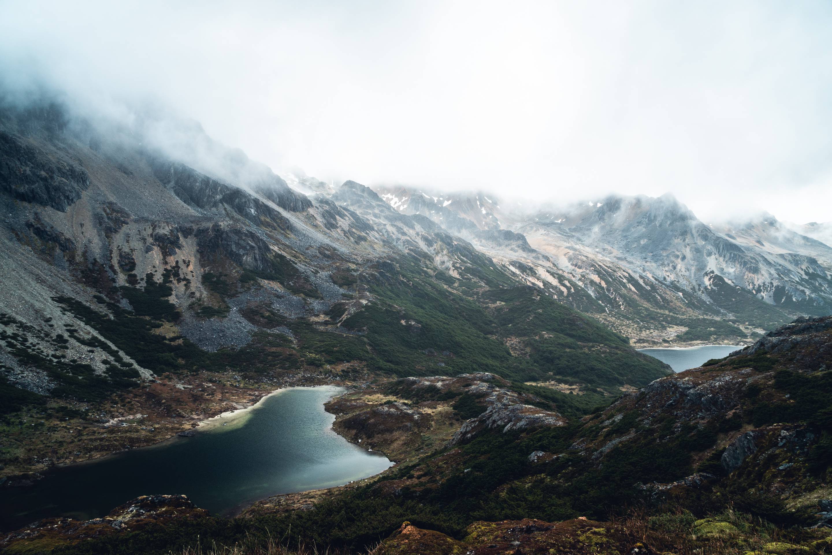
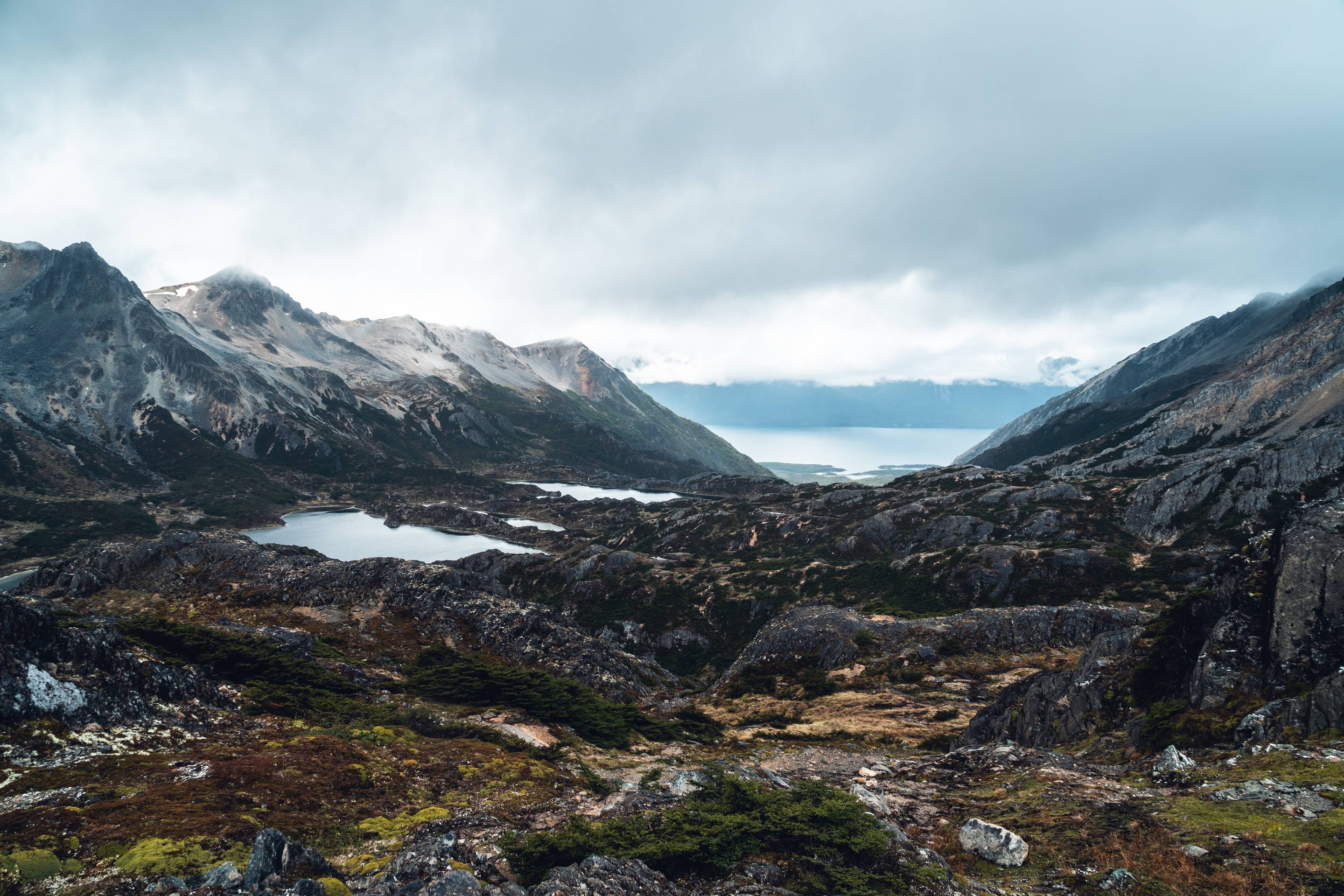
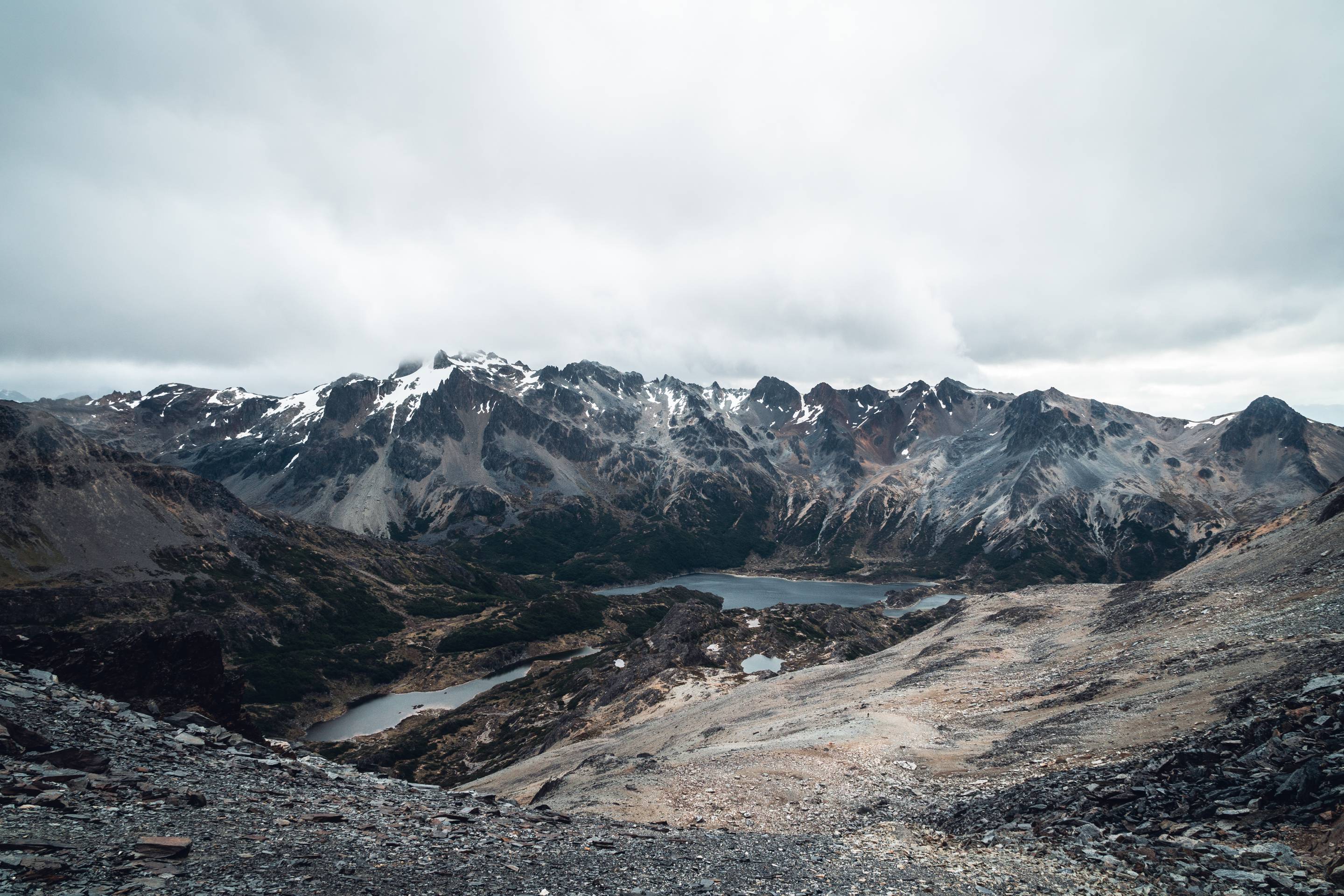
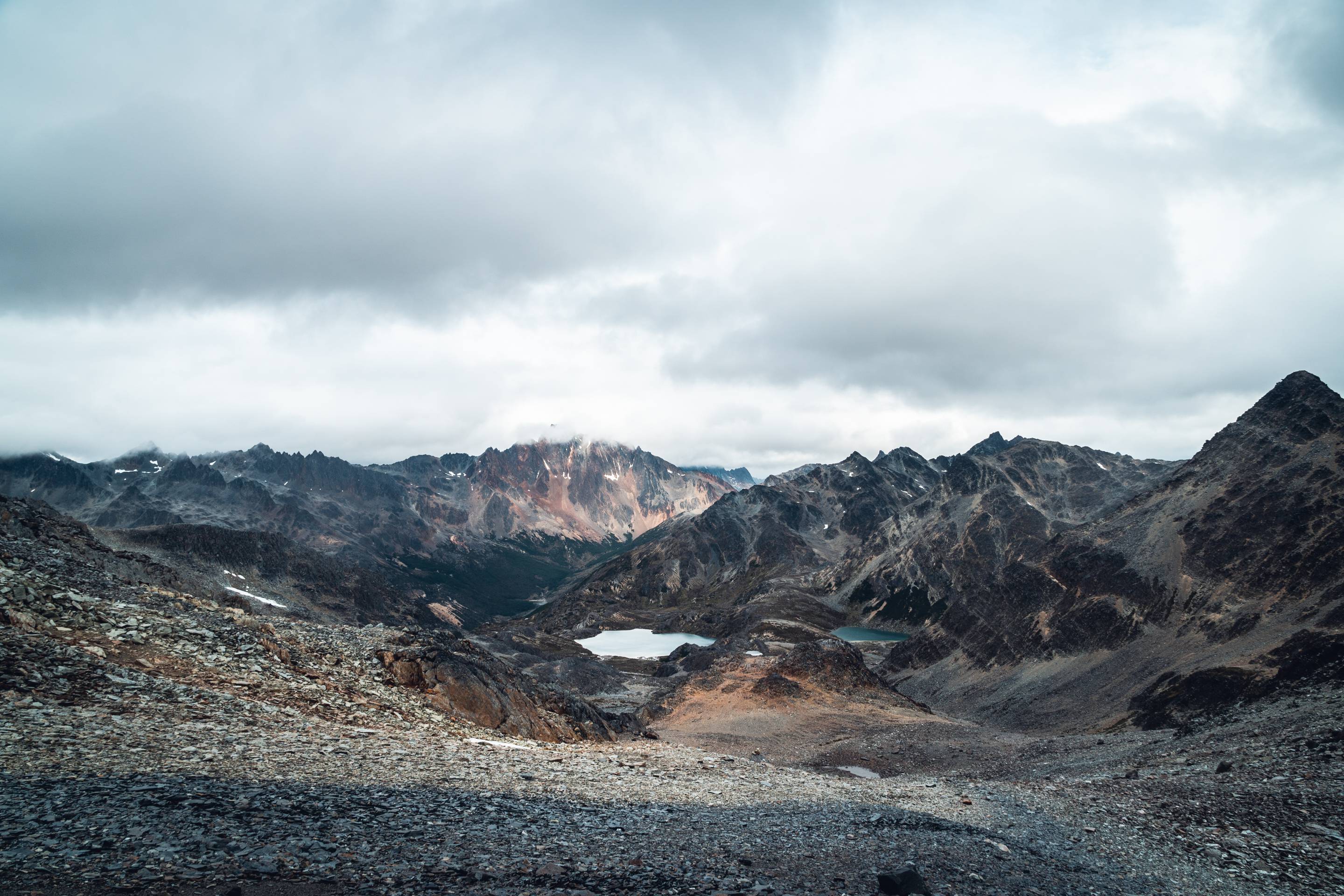
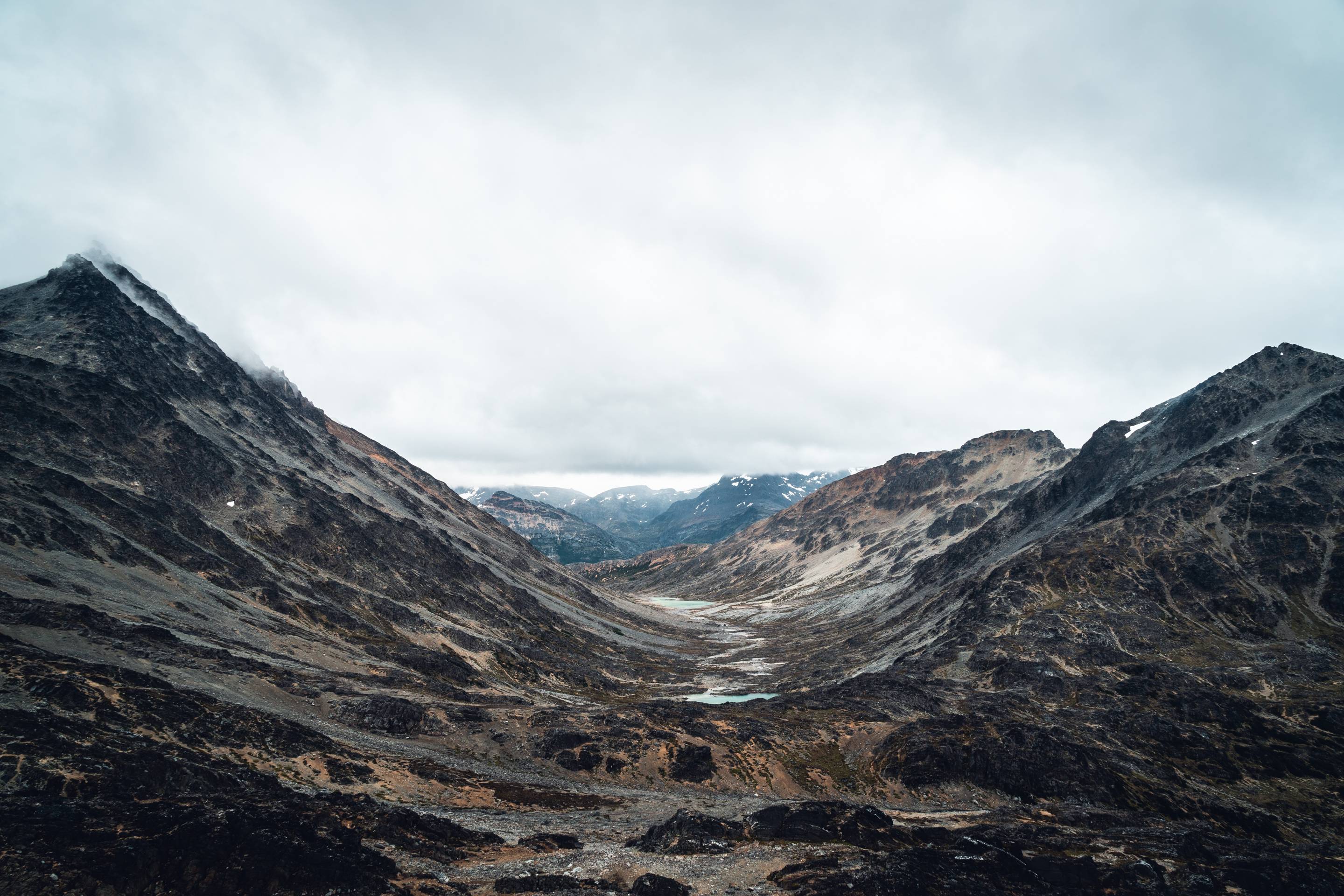
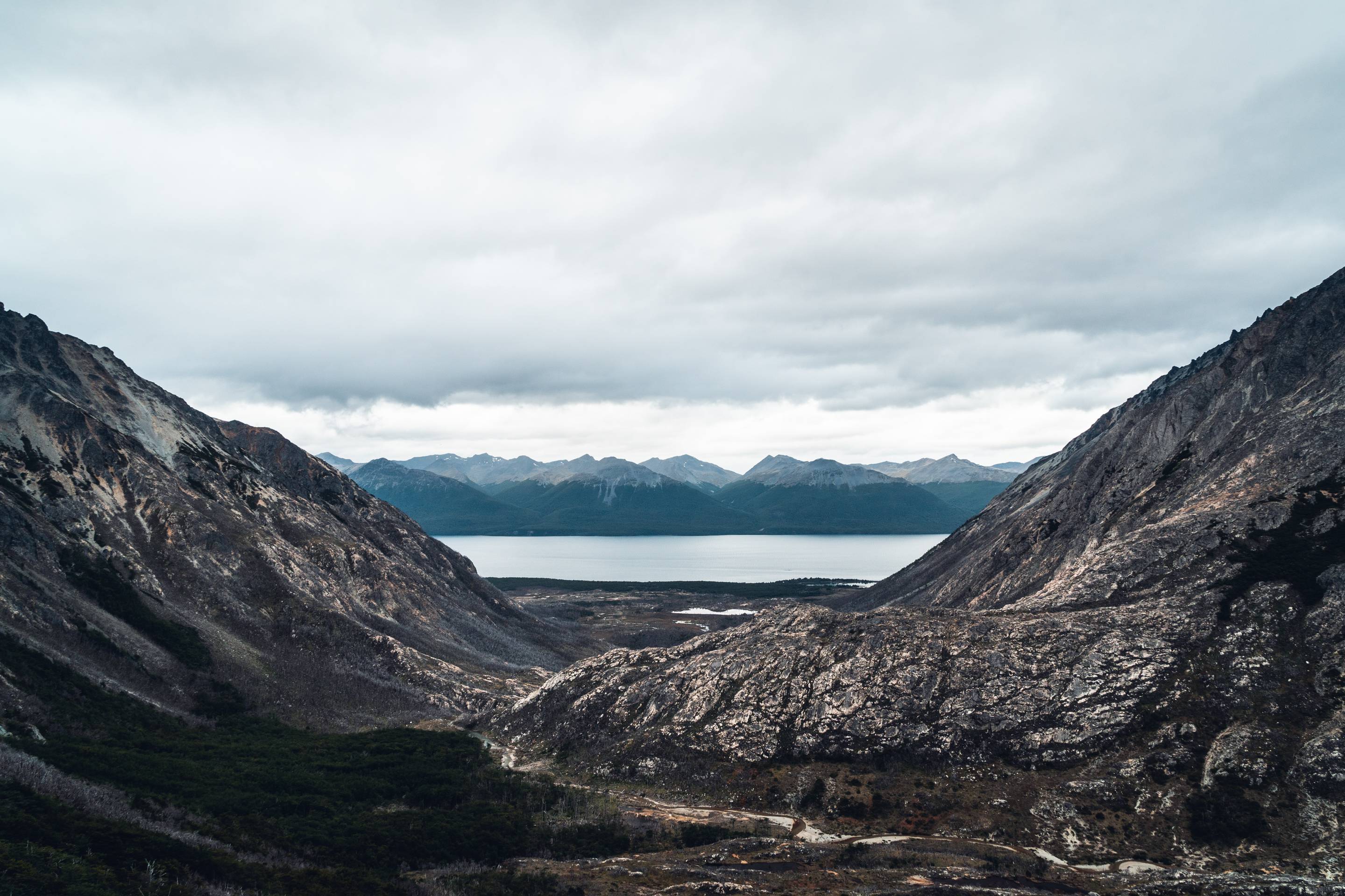
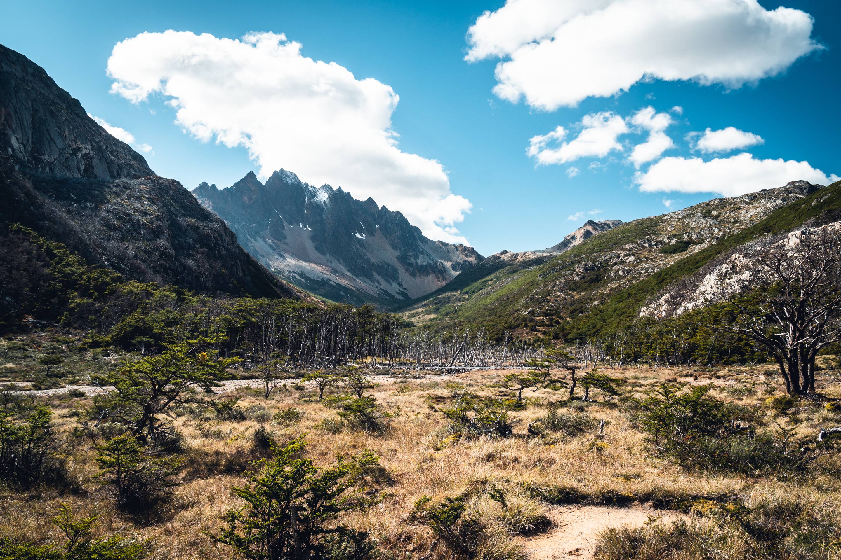
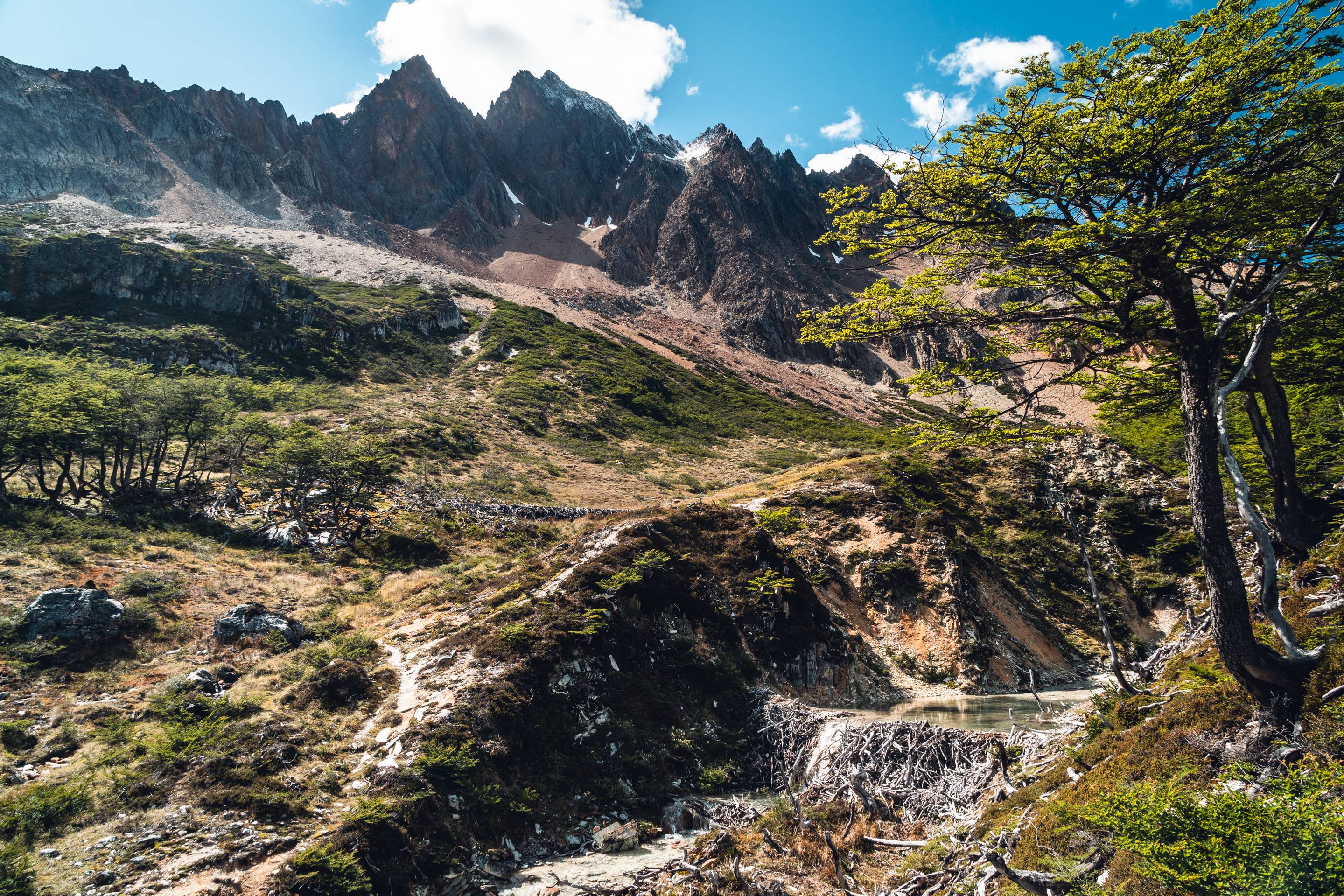
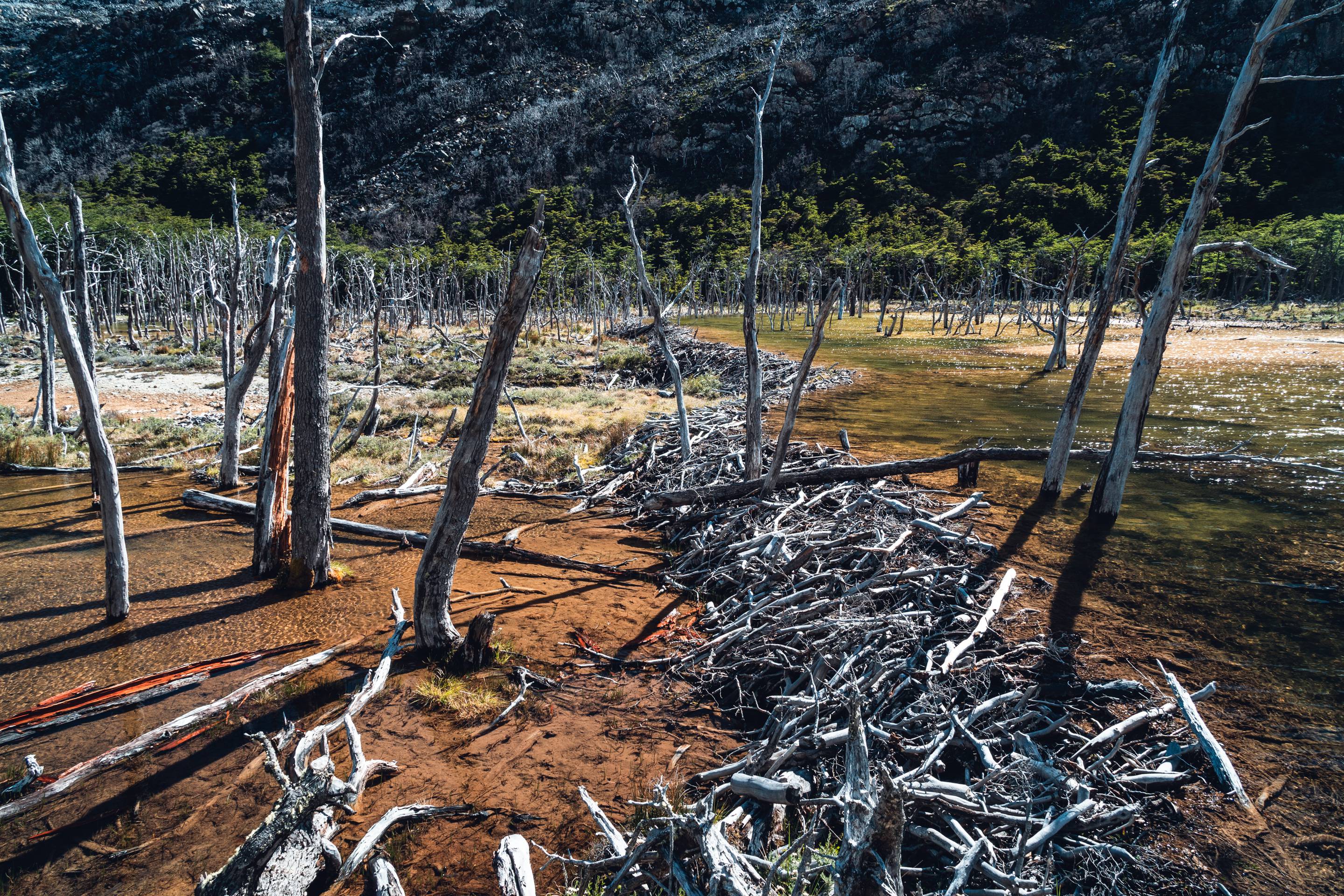
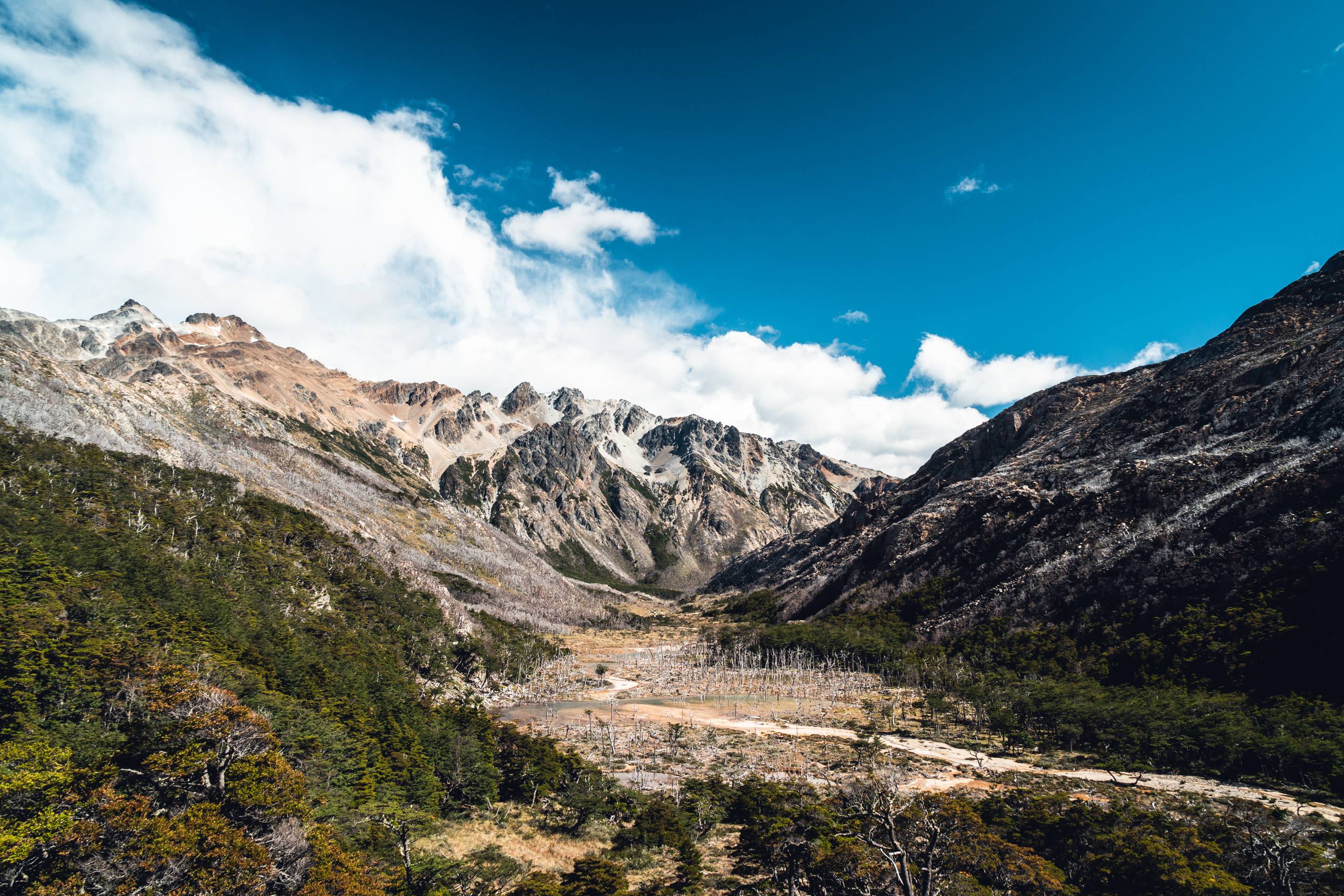
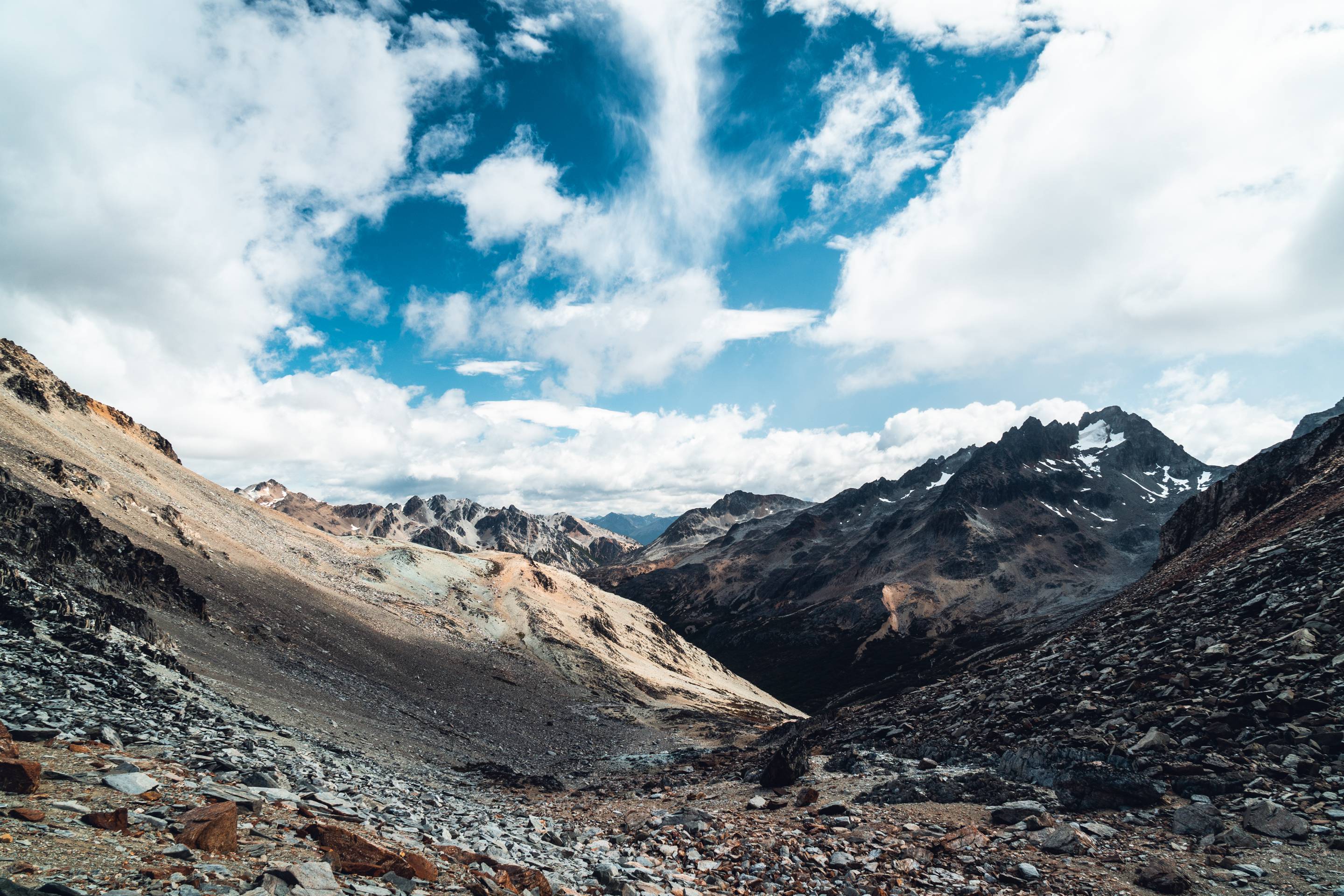
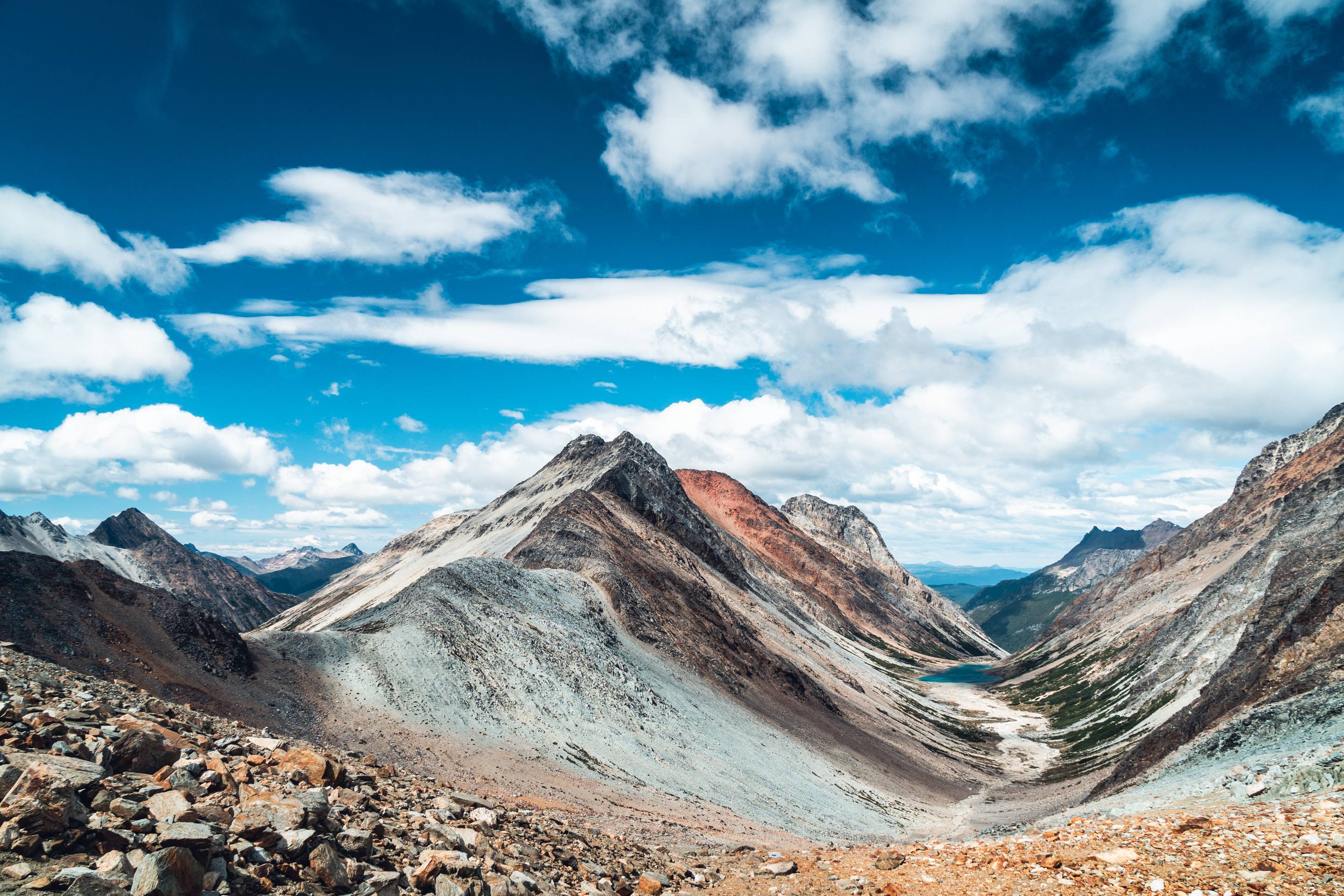
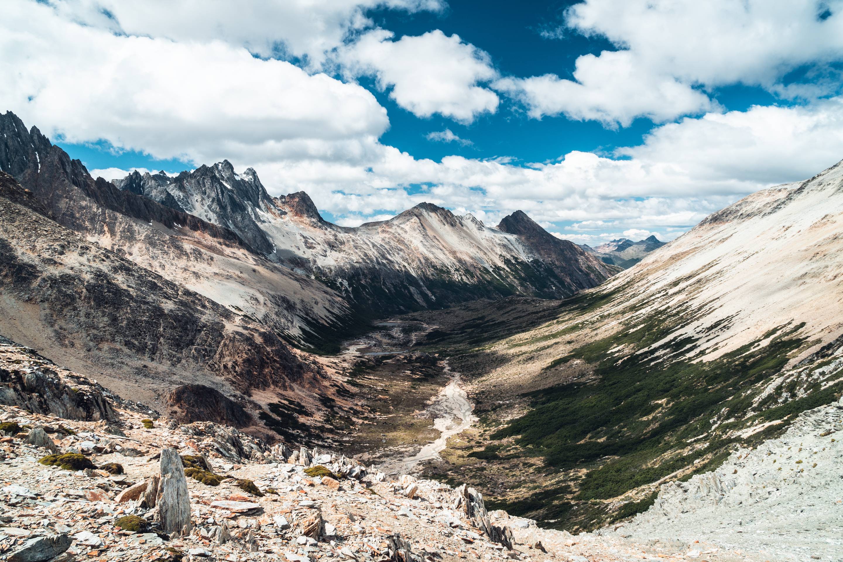
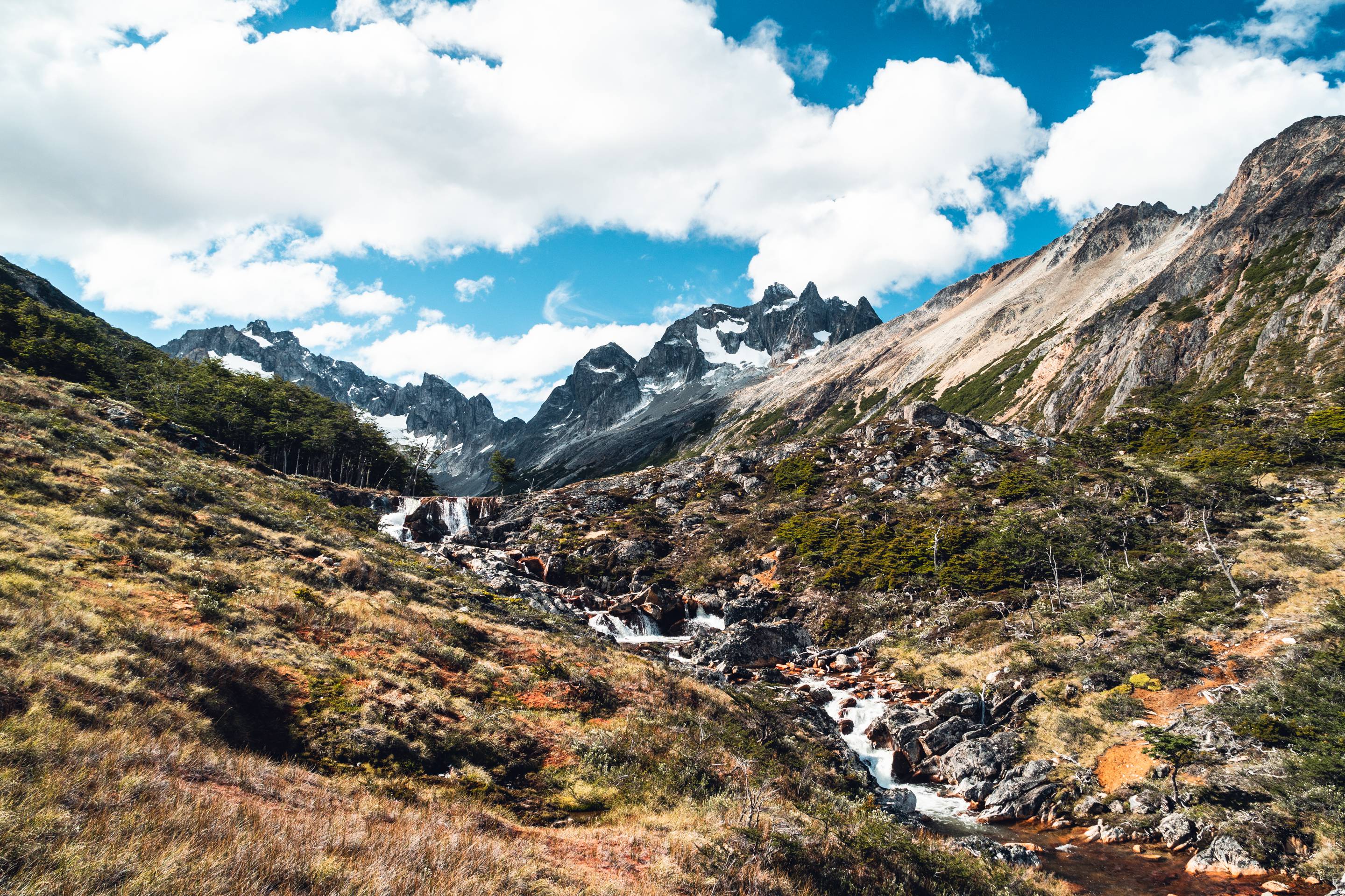
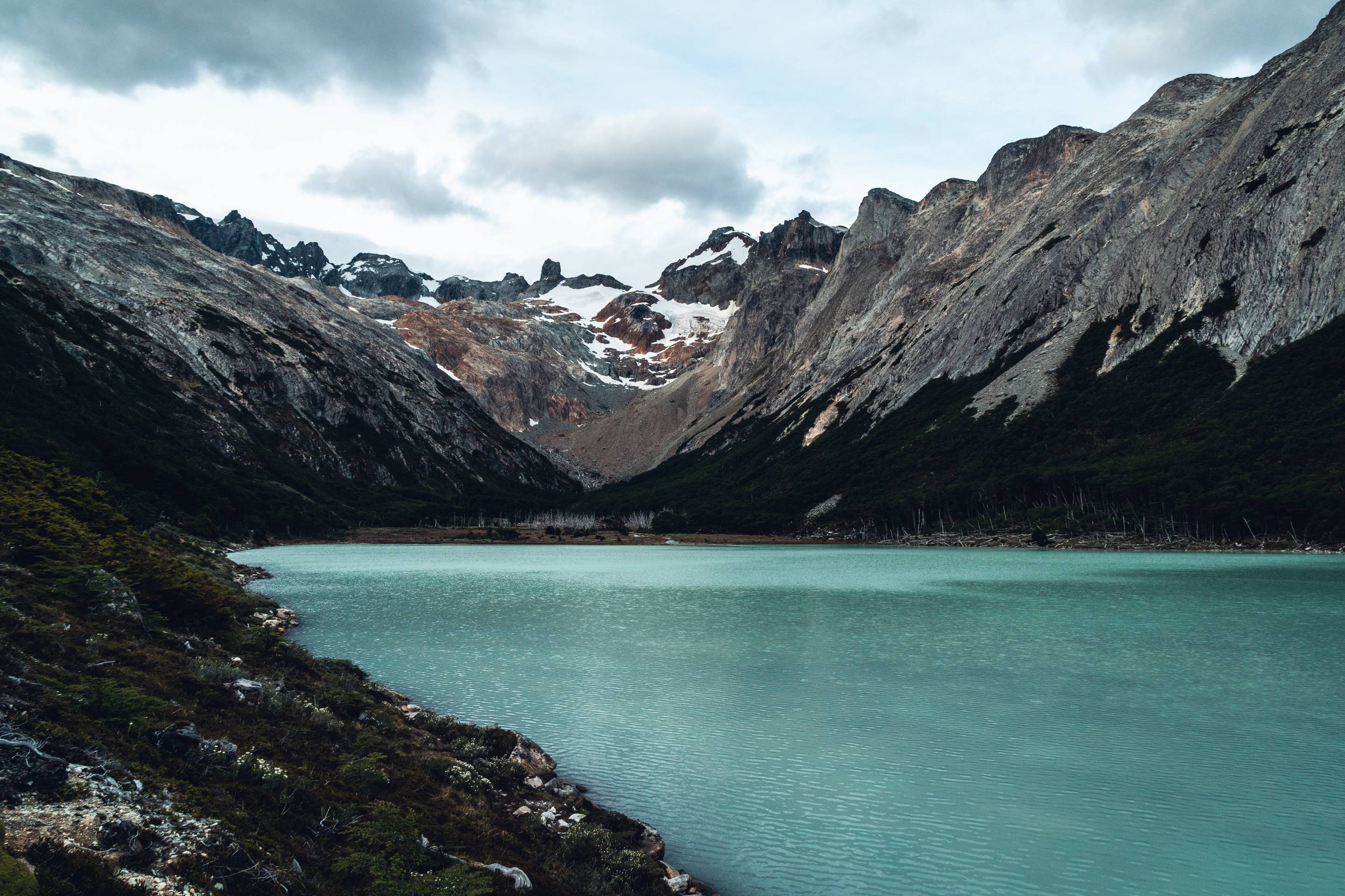
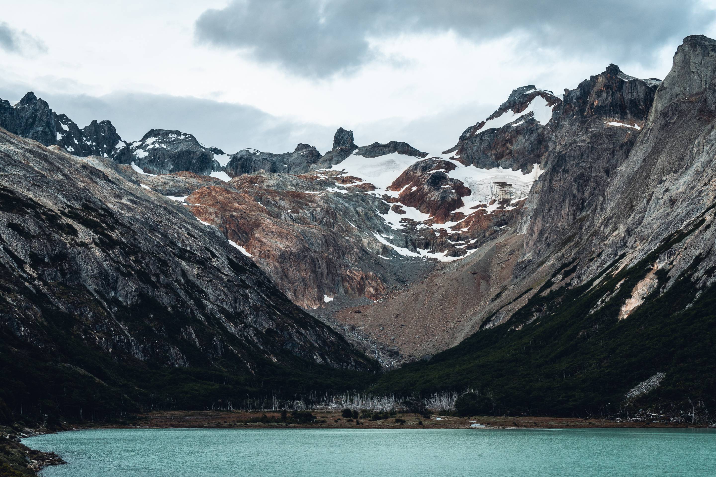
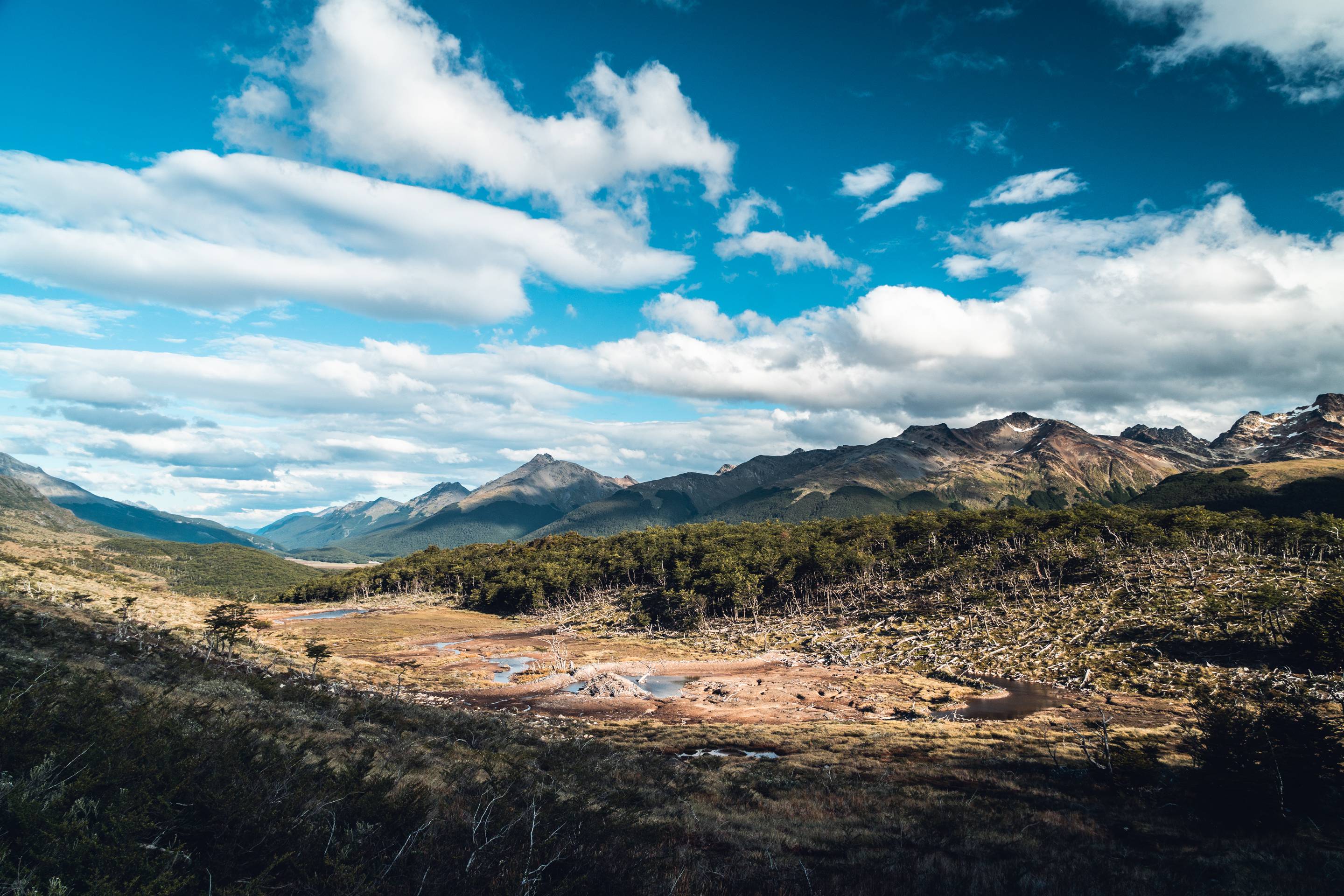
In southern Patagonia, the austral summer was quite rough still : the temperatures were cold, the precipitations were frequent and the west winds were fierce. The Tierra del Fuego National Park was wild, and with enough time and provisions, and a good sense of direction when straying from the path, exploration would be endless. There were numerous camp options with fire places along the route and even a few opened shelters. The track was quite faded though, and with poor visibility, the right way was sometimes hard to find. We often took the time to explore around the lakes, but there was no parts requiring more skills or equipment than sure footedness.
From -5°c to +15°c.
Rainfalls & snowfalls almost everyday
Very strong west winds
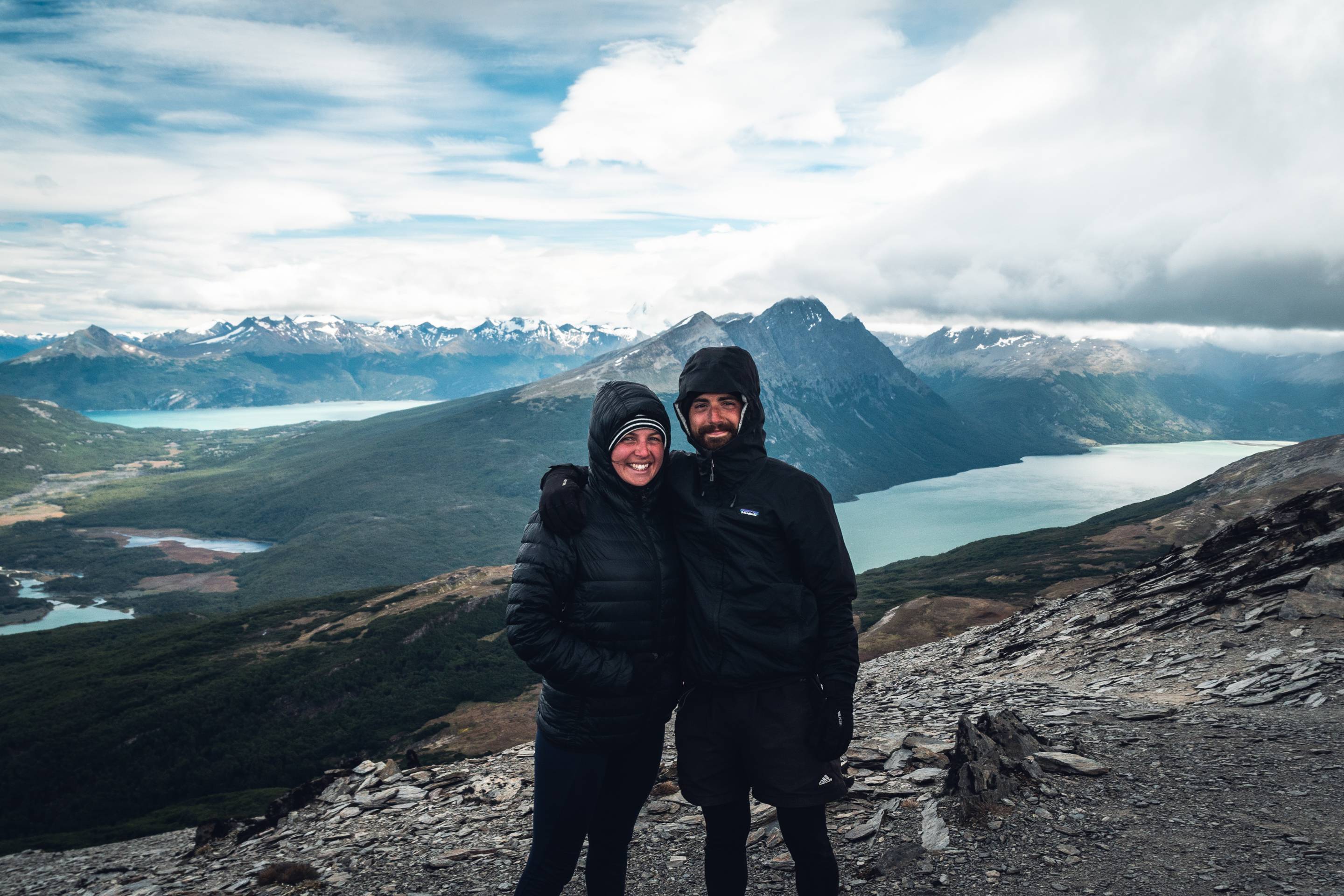
We were as light as we could, with very few spare clothes and food. This way, we weren’t independent and shared our equipment to have the least weight to bear. We had warm and waterproof camp and clothes though, and hiking boots to handle demanding terrain. We left behind all our equipment related to our bikes. Water from rivers and lakes was everywhere up there, even in the driest season, which we filtered because of the Giardia. Our food was put on rations, and we camped every night along the route, leaving no trace.
10 695 gr of equipment
8 165 gr of equipment when dressed
2 days of water & alcohol
4 days of food
4 days of battery